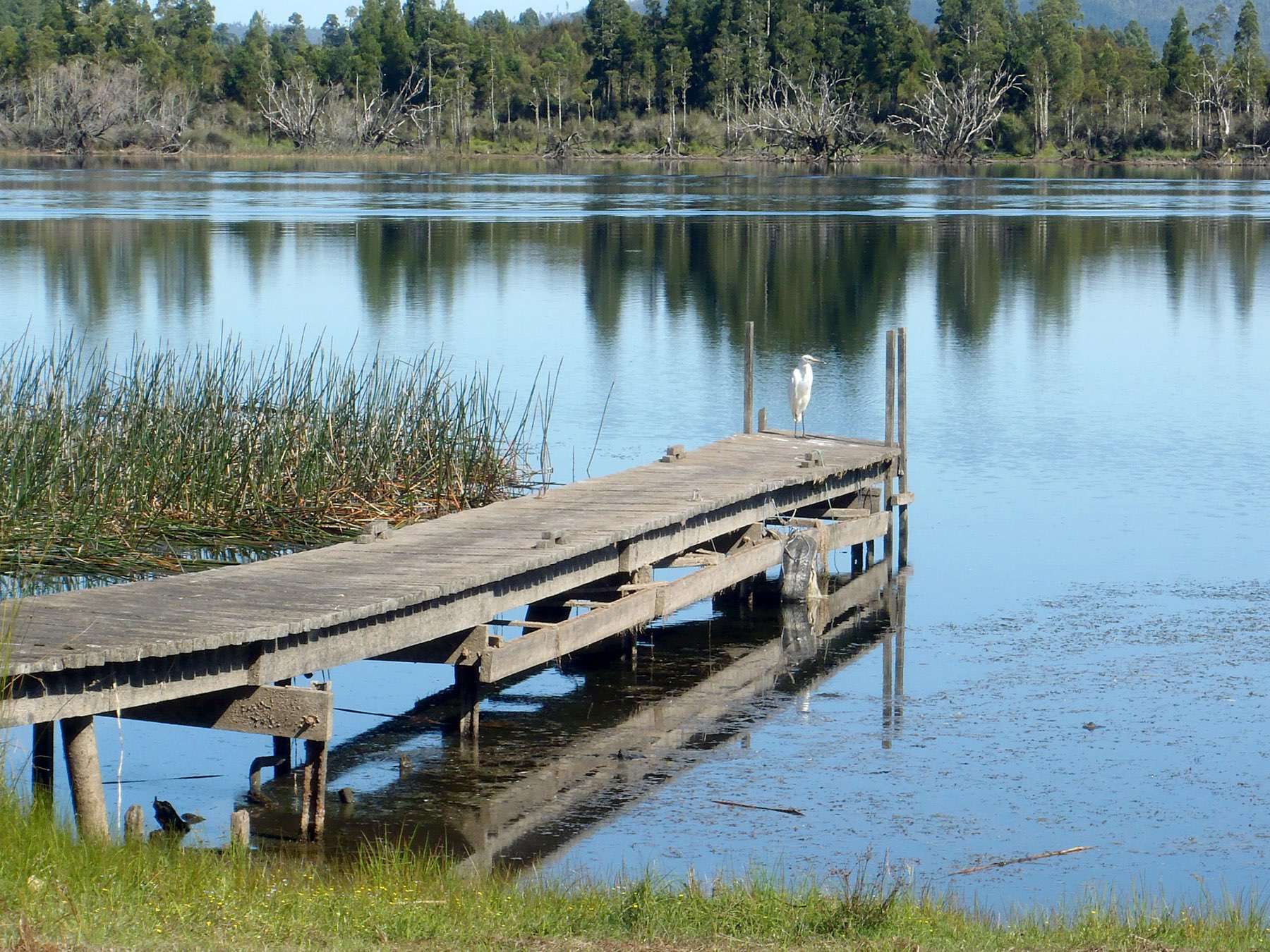
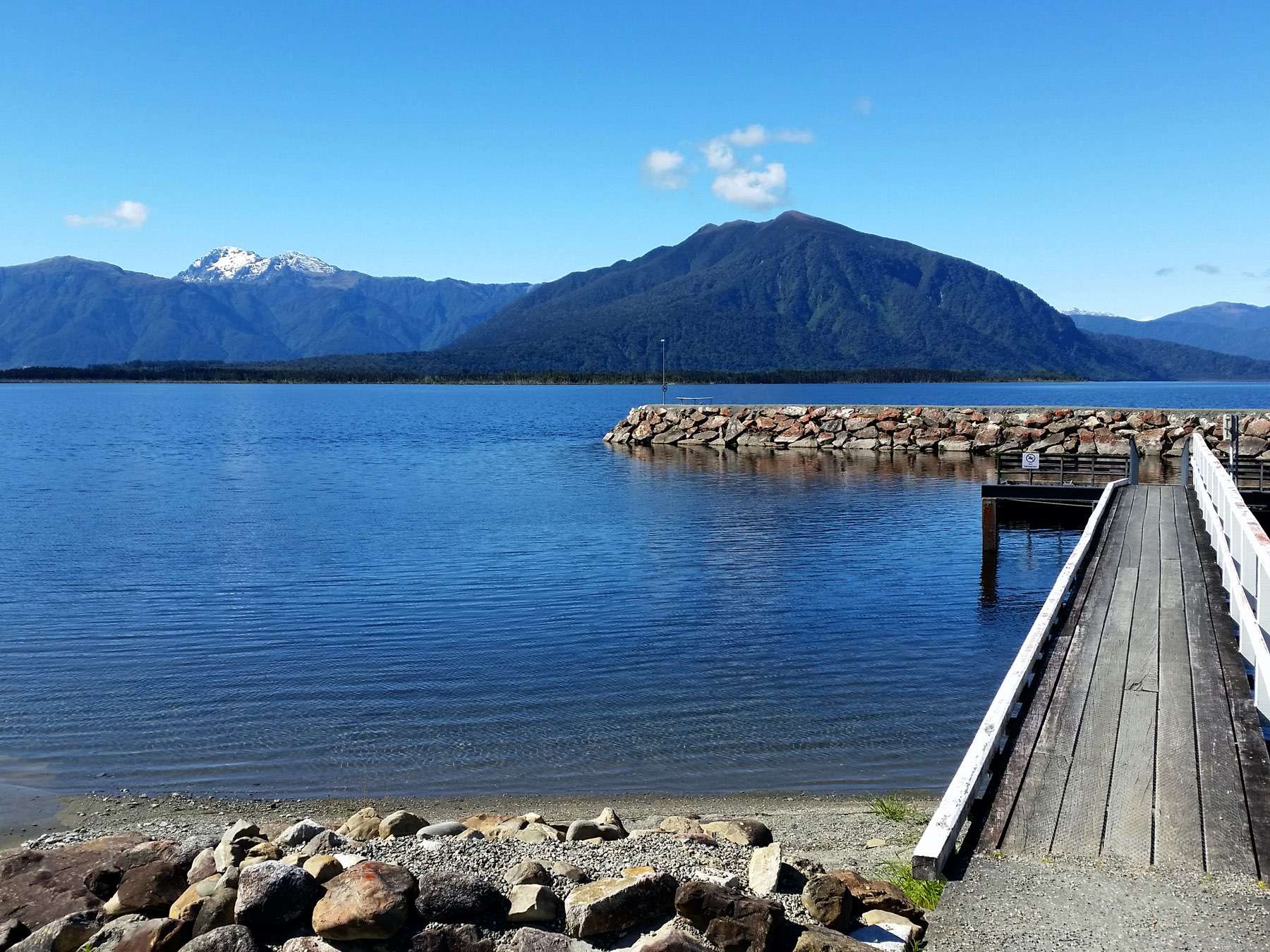
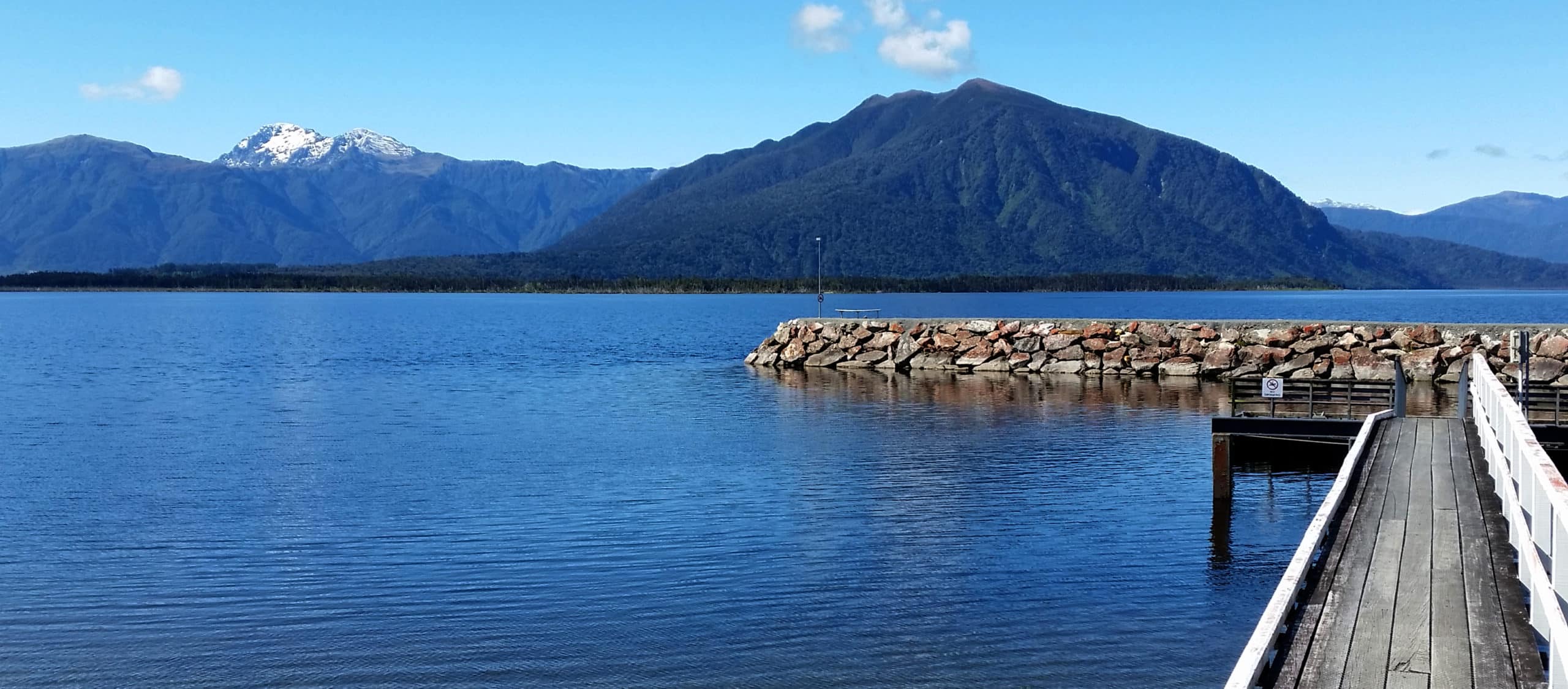
Kōtukuwhakaoka (Lake Brunner) is a large lake in the northwestern South Island of Aotearoa New Zealand, covering an area of about 40 km². It was gouged out by a branch of the Taramakau Glacier and is one of a cluster of lakes within this sector of the Grey River catchment. The lake is fed by the Crooked, Orangipuku and Eastern Hohonu Rivers and a number of small streams. Its outflow is the Arnold River, a tributary of the Grey River. The Lake Brunner area has an abundance of bird life and a variety of wetland and rain forest ecosystems.
The Māori name for the lake is Kōtukuwhakaoka, meaning the ‘sea of herons’. The present name commemorates Thomas Brunner who, in 1848, became the first European to see the lake during his epic 550 day exploration of the region with Kehu and other Māori guides (source www.doc.govt.nz).


