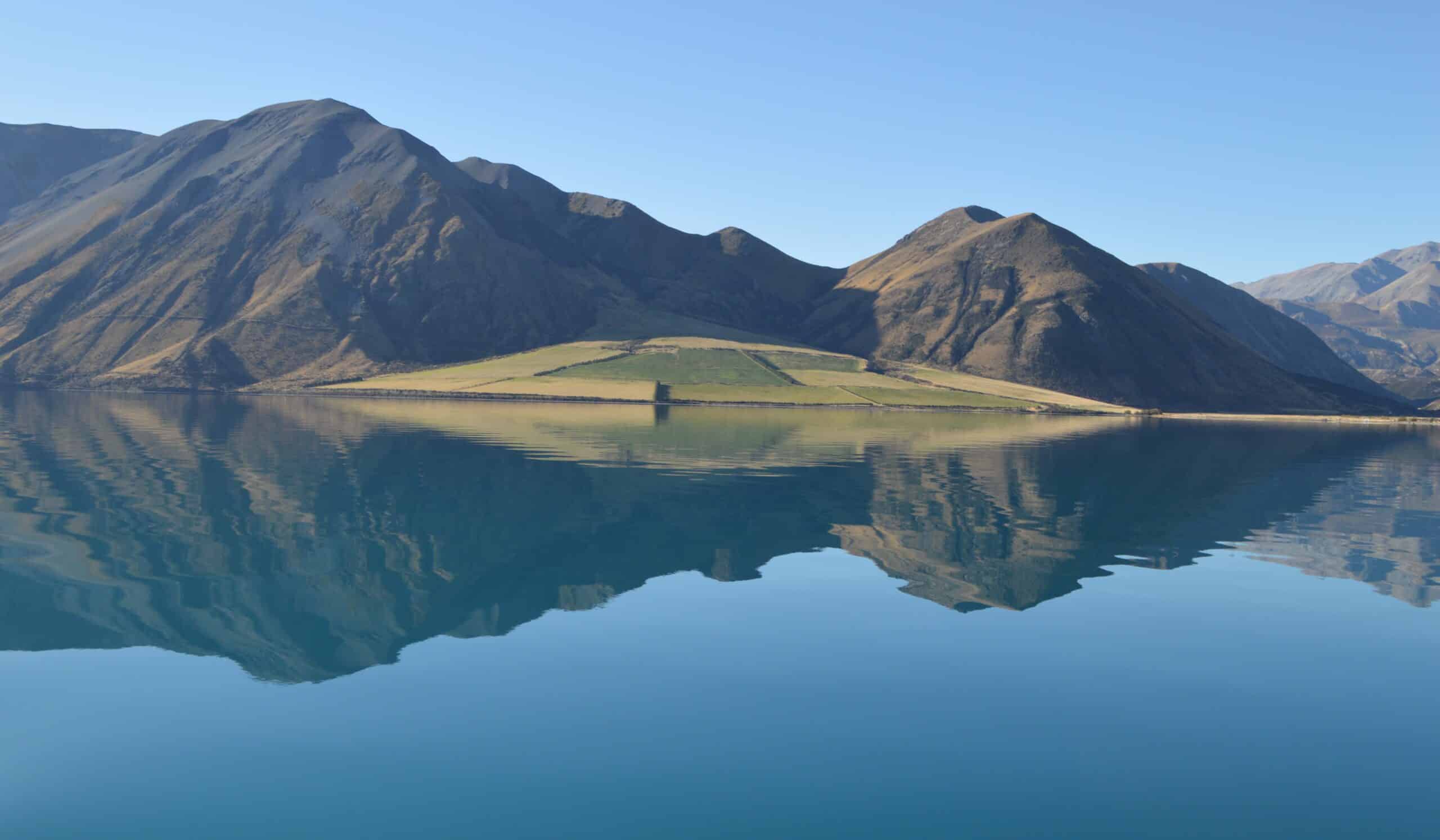
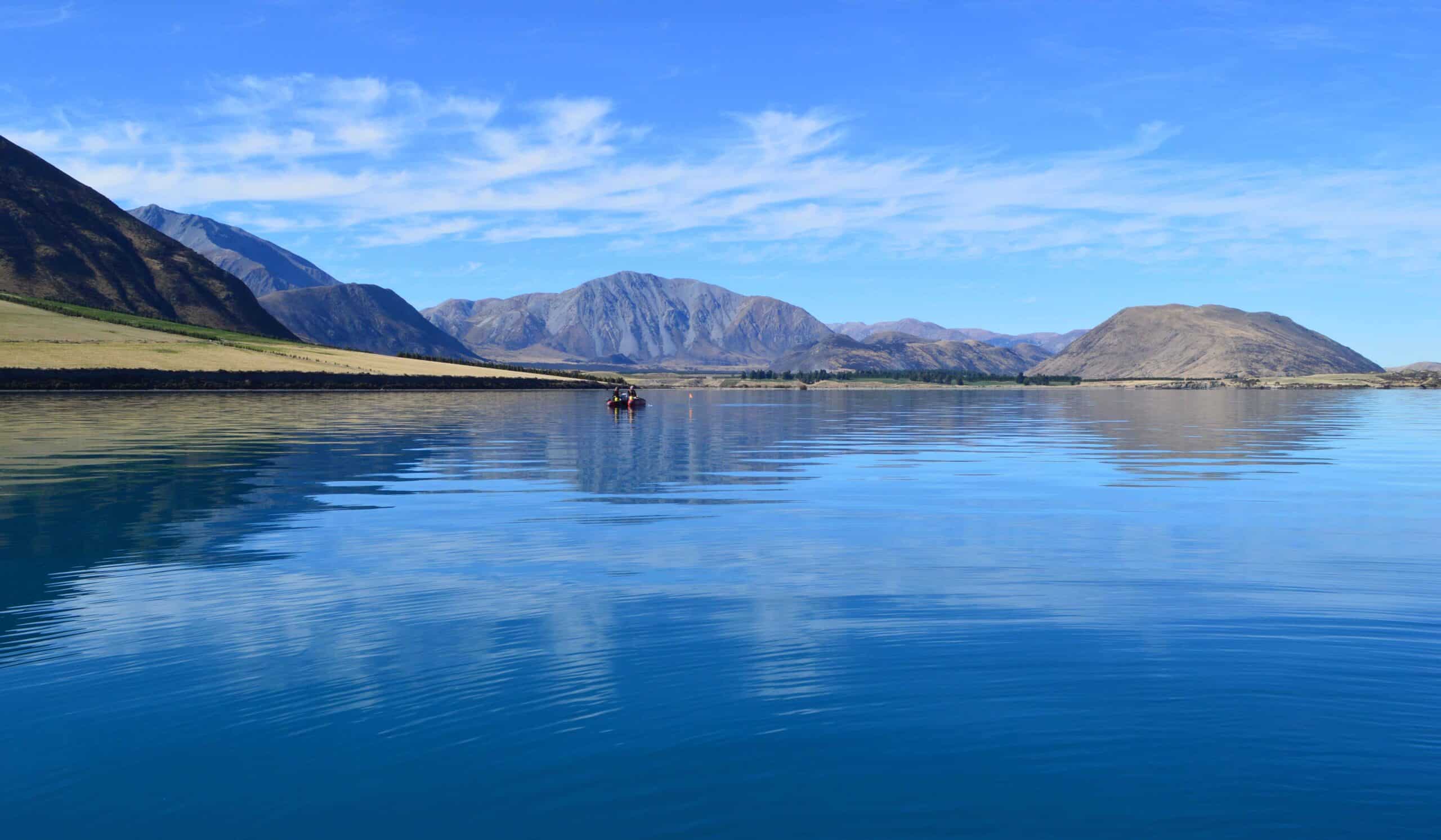
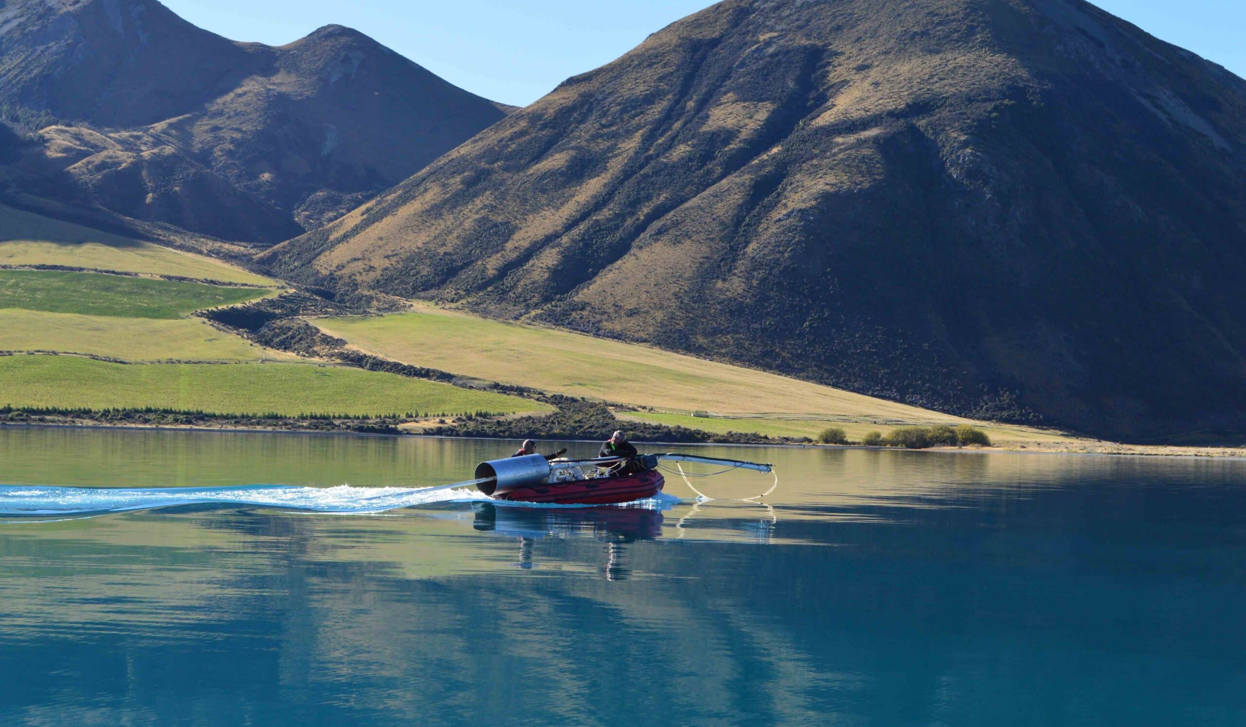
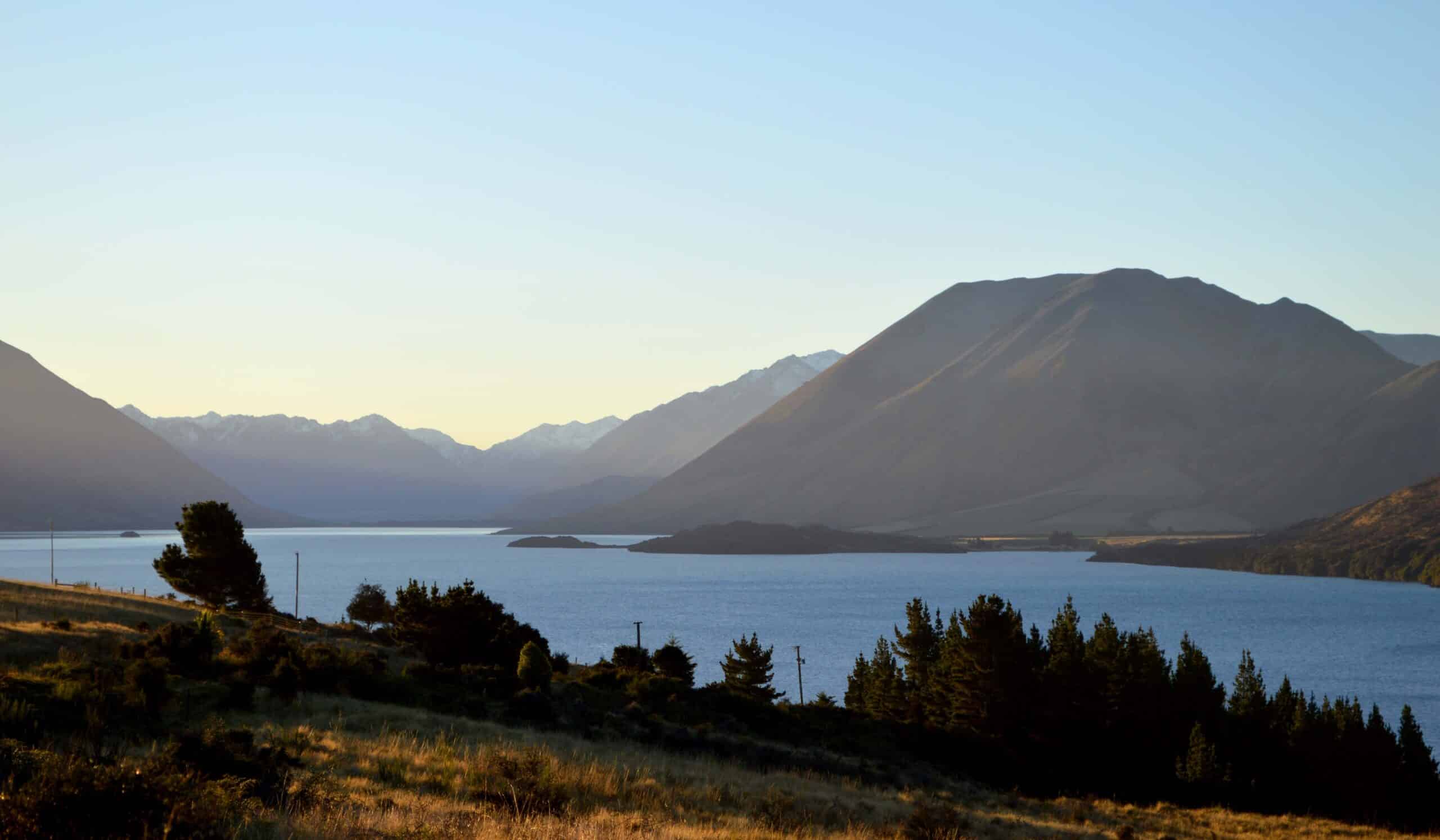
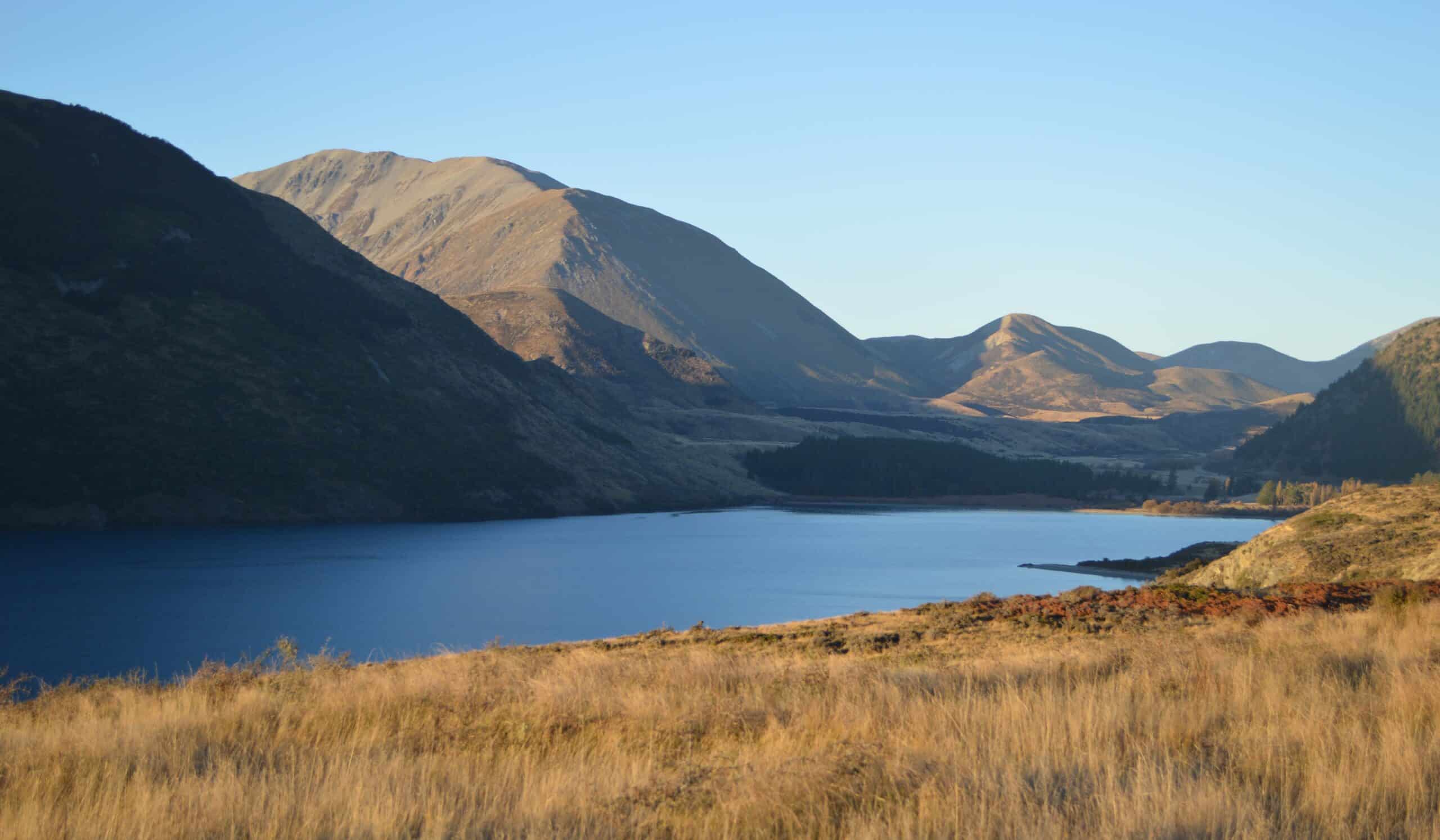
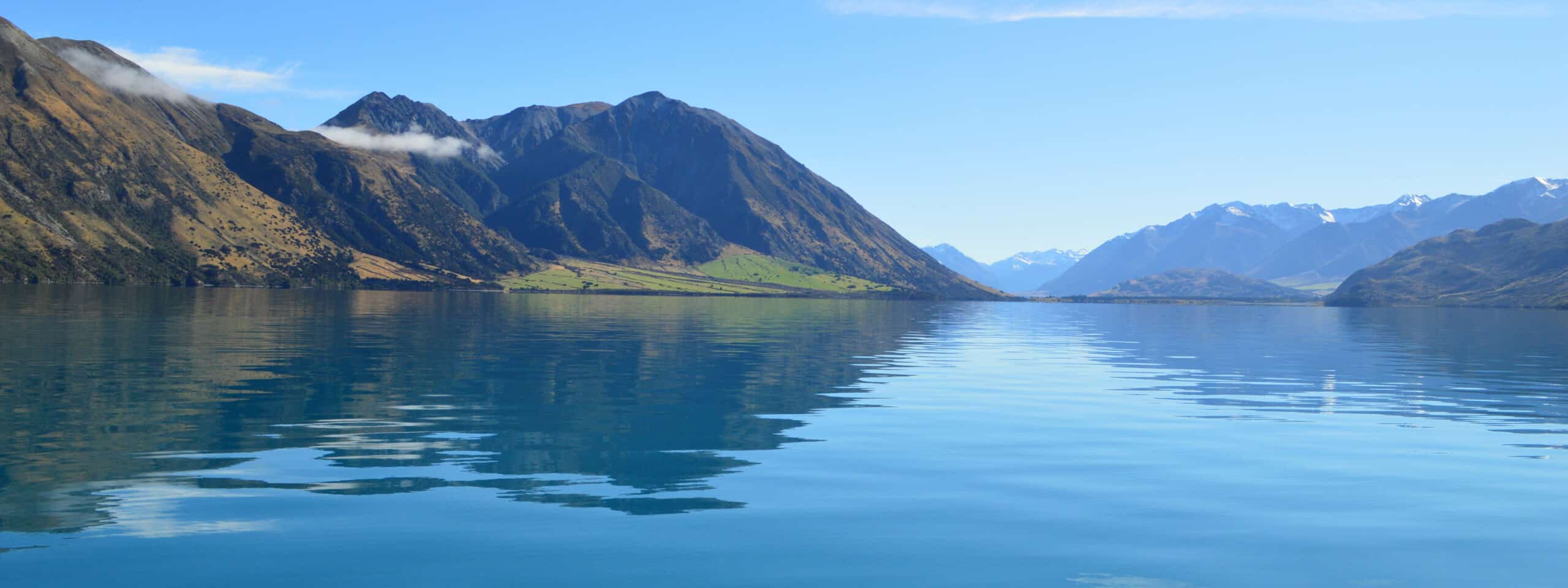
The glacially carved Whakamatau (Lake Coleridge) is located north of the Rakaia River in the Canterbury high country. Whakamatau was an important place to rest and replenish supplies (mahinga kai) for Ngai Tahu who gathered kakapo, weka, and tuna here, on route to the West Coast (https://www.kahurumanu.co.nz/atlas).
Lake Coleridge was the first government-built Hydro Electric Power station in New Zealand. Operational since 1914, water is diverted from the Wilberforce and Harper Rivers, and the Acheron Stream, into Lake Coleridge for storage. Gravity is used to power the station with Lake Coleridge sitting 170 m above the Rakaia River. At the time it was a significant engineering feat because the station was built on glacial moraine (shingle) which had never been achieved before.
Lake and wetland areas provide habitat for native long and short-finned eels; a range of water birds including the endemic Australasian Crested Grebe whose primary breeding area is Canterbury high country lakes; and highly valued recreational sports fish (trout and salmon). The Coleridge Habitat Enhancement Trust (CHET) was established to protect and restore native habitats affected by the lake engineering. Since 2015 the lake has also supplied water for irrigation to the Canterbury plains (https://www.lakecoleridge.co.nz/history.html)
