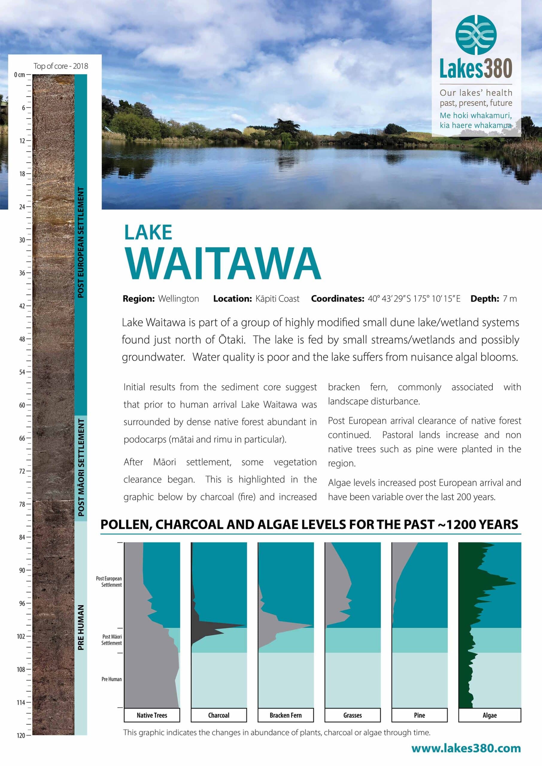
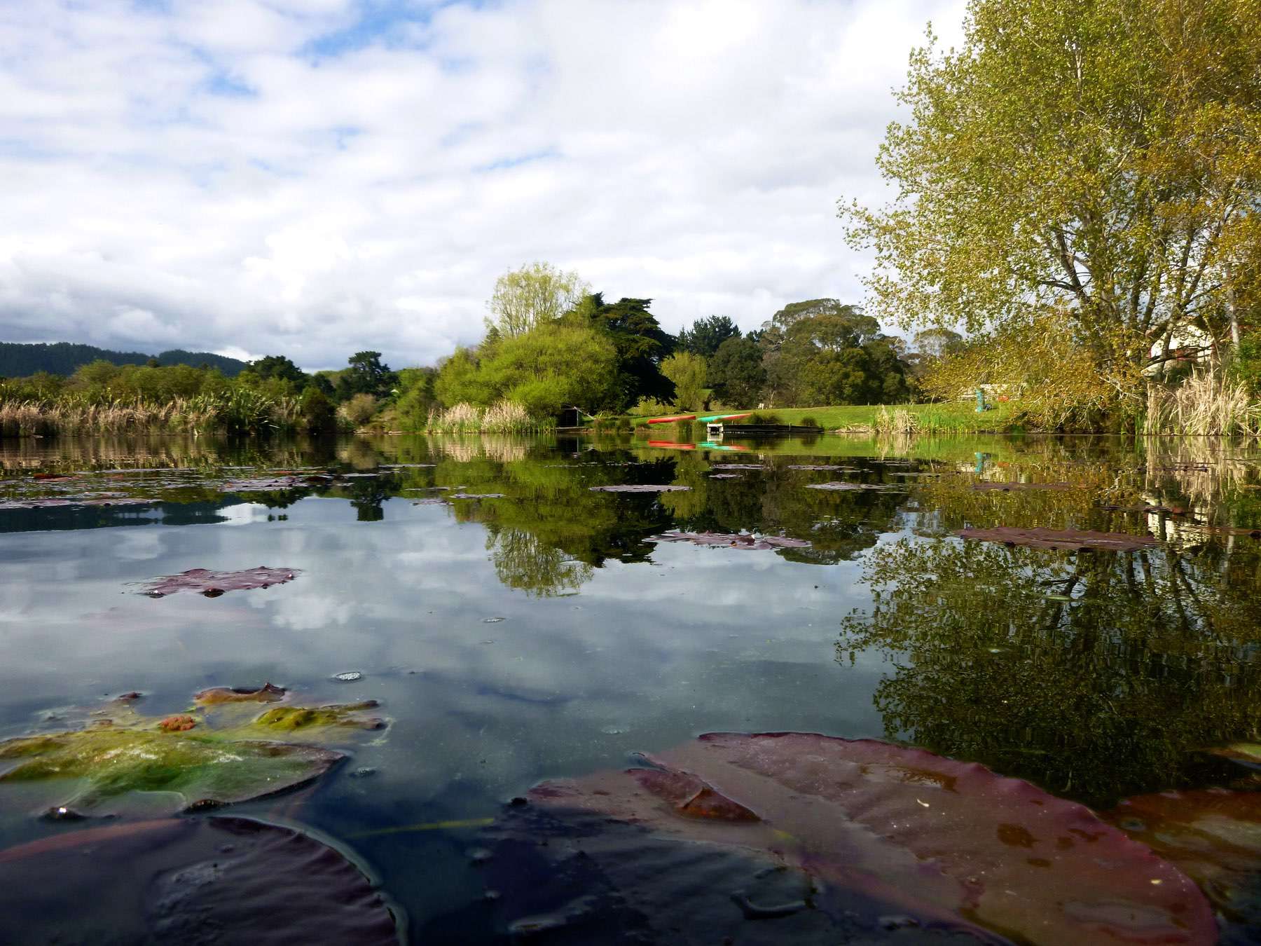
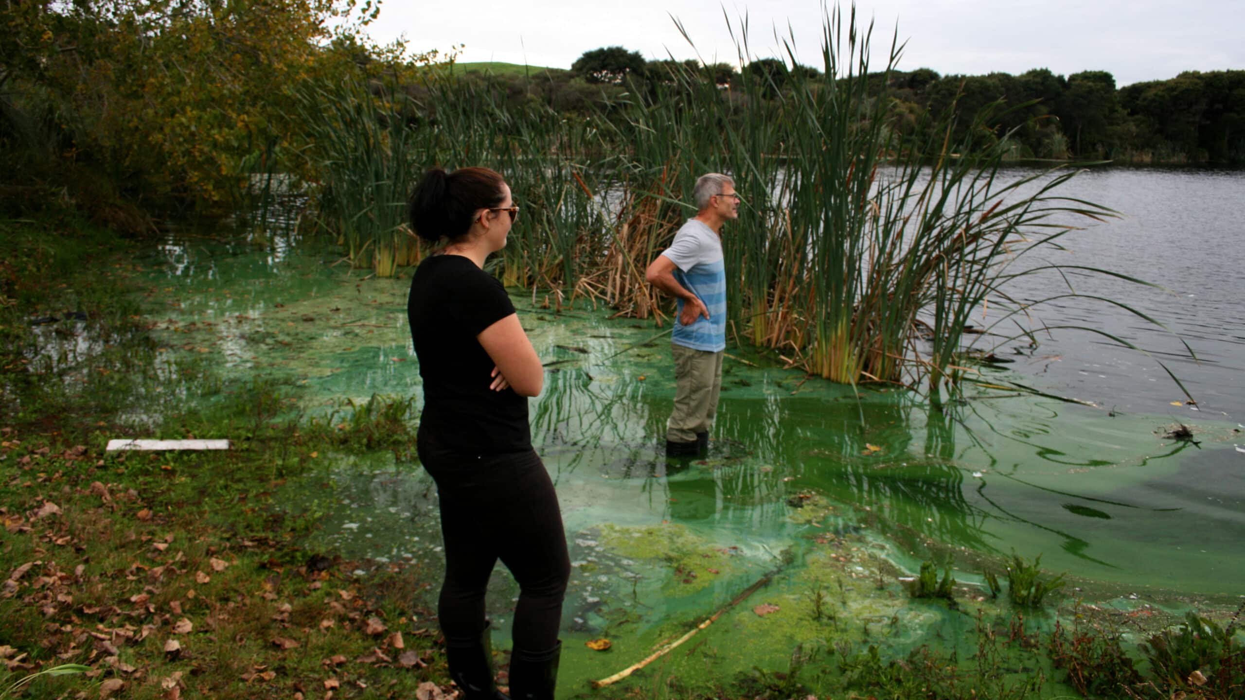
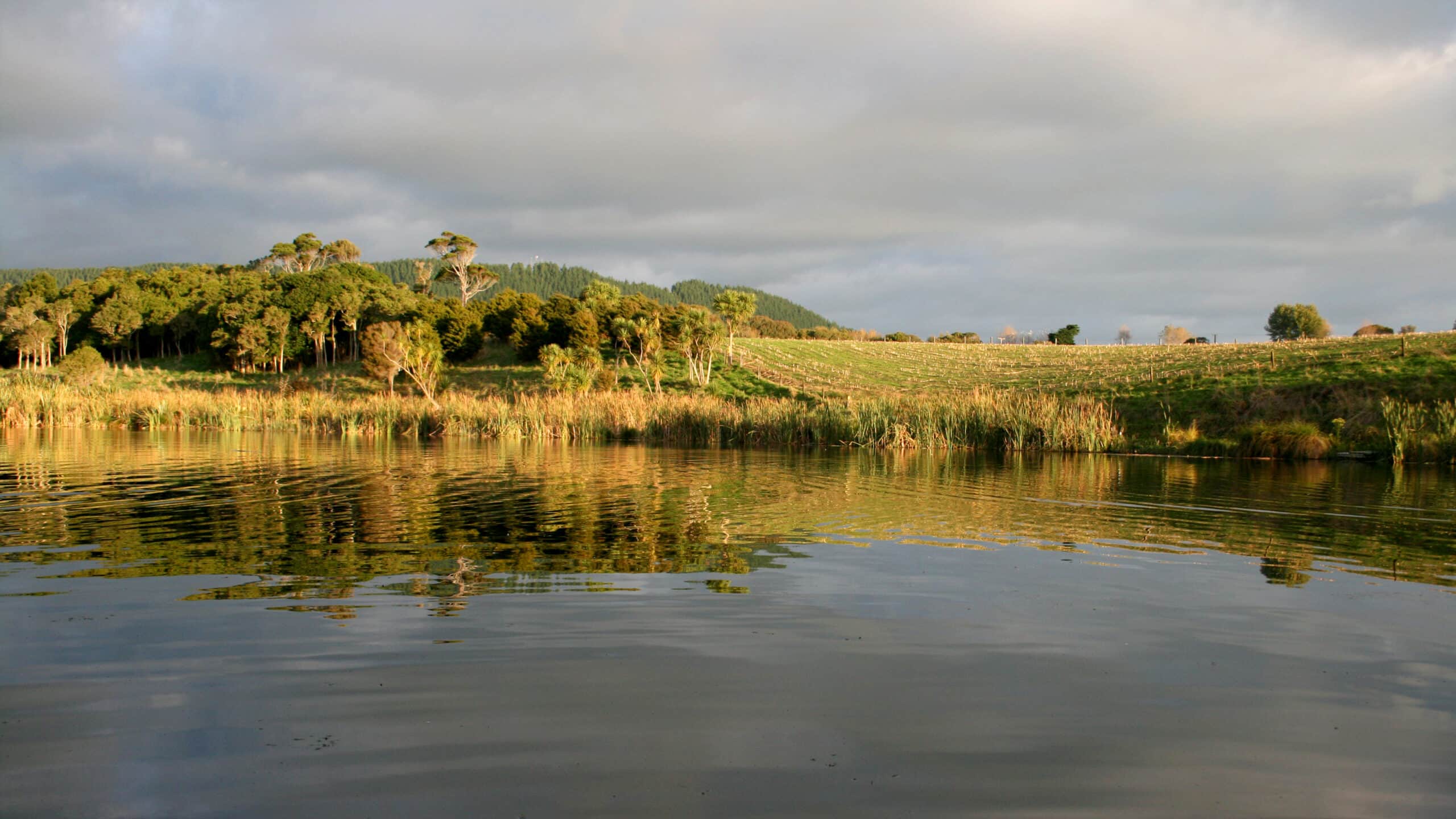
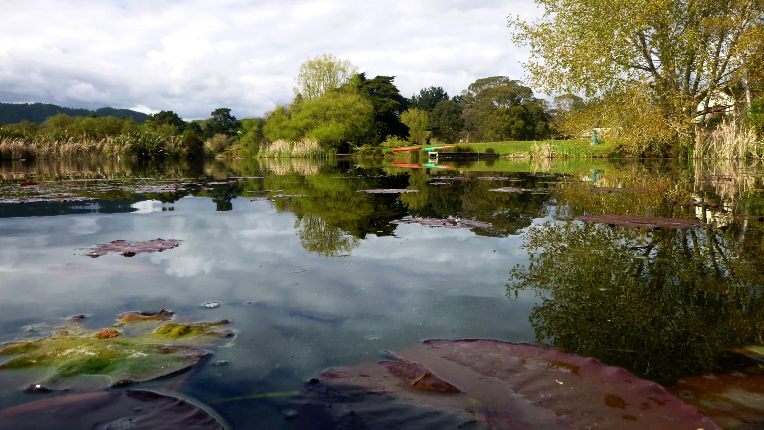
Lake Waitawa is a small (~16 hectares), shallow (typically ≤ 7m deep) dune lake situated just north of Ōtaki near the edge of Greater Wellington’s regional boundary. It is part of a group of highly modified small dune lake/wetland systems found in this area. The lake is fed by several small streams/wetlands that run into its eastern arms although these generally have limited or no flow. Little is known about groundwater inputs into the lake but they are potentially a significant source of water. The lake outflow is located in the western arm of the lake and eventually discharges into the Waitohu Stream.
