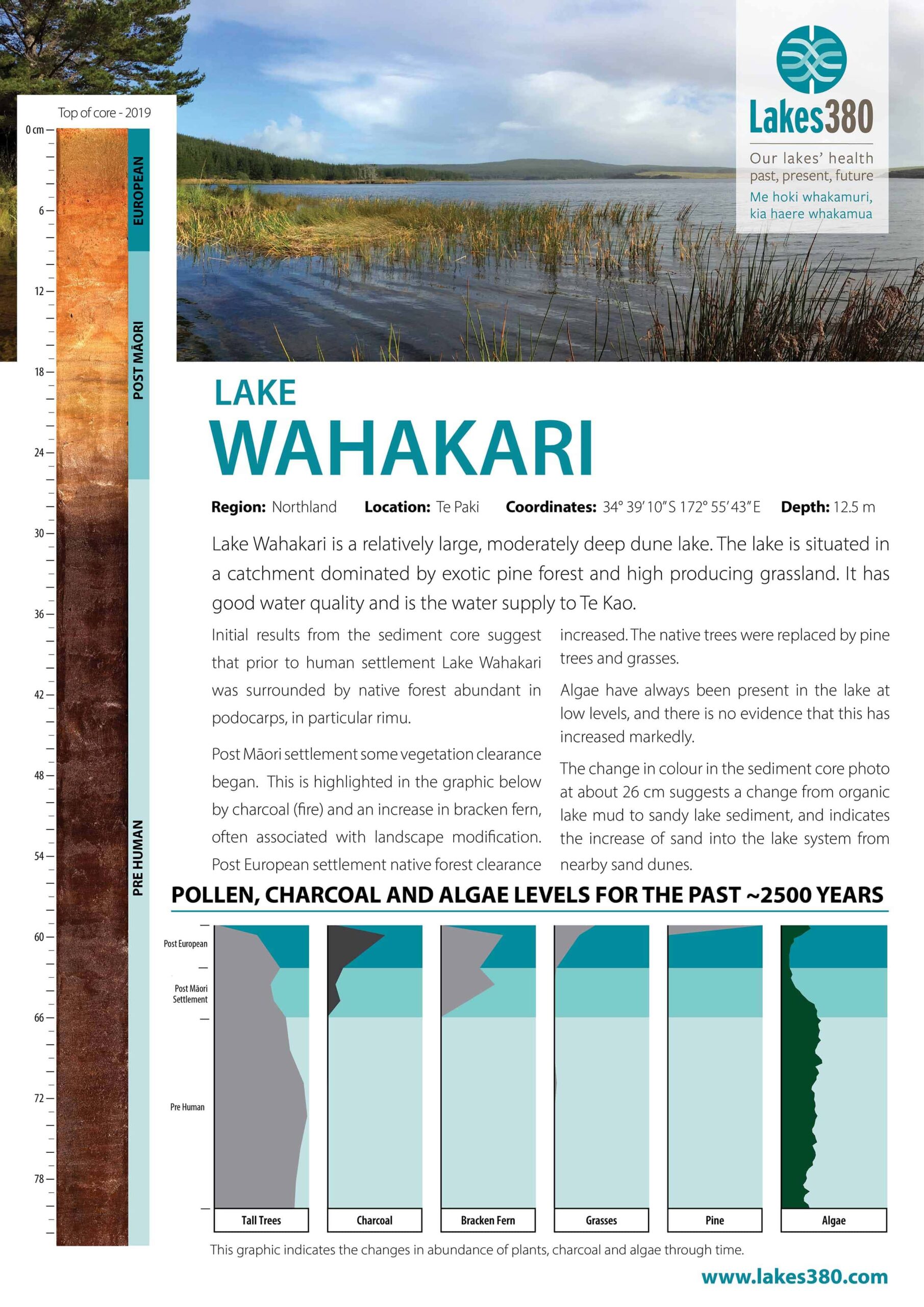
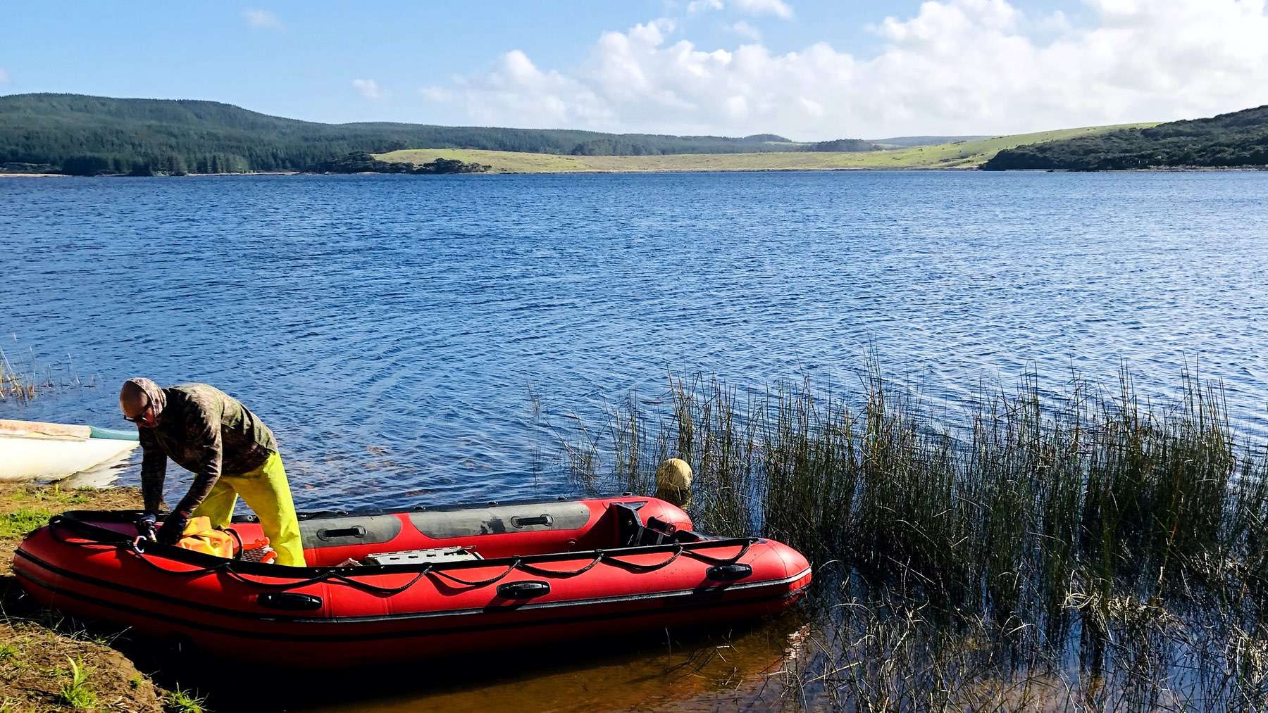
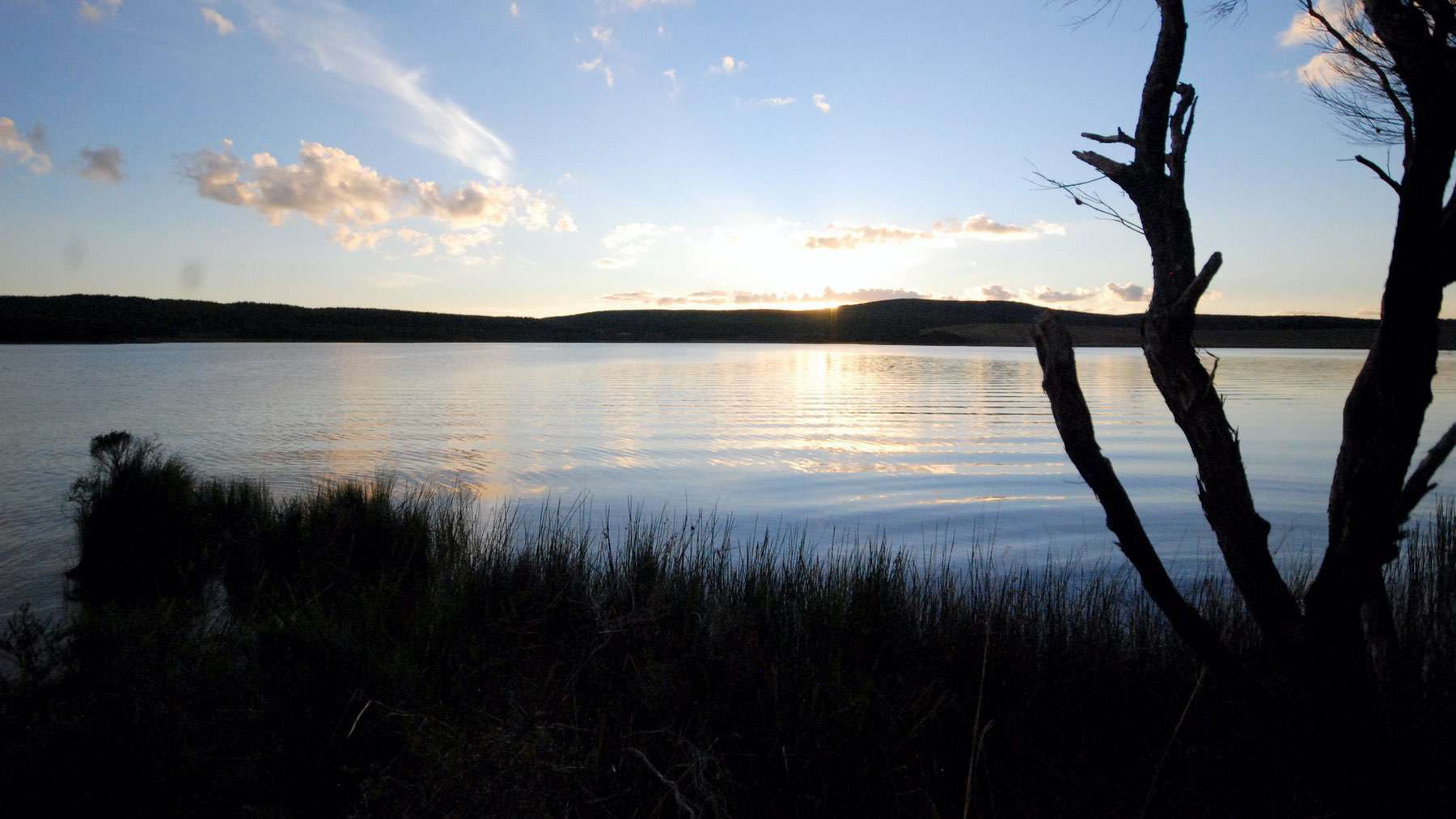
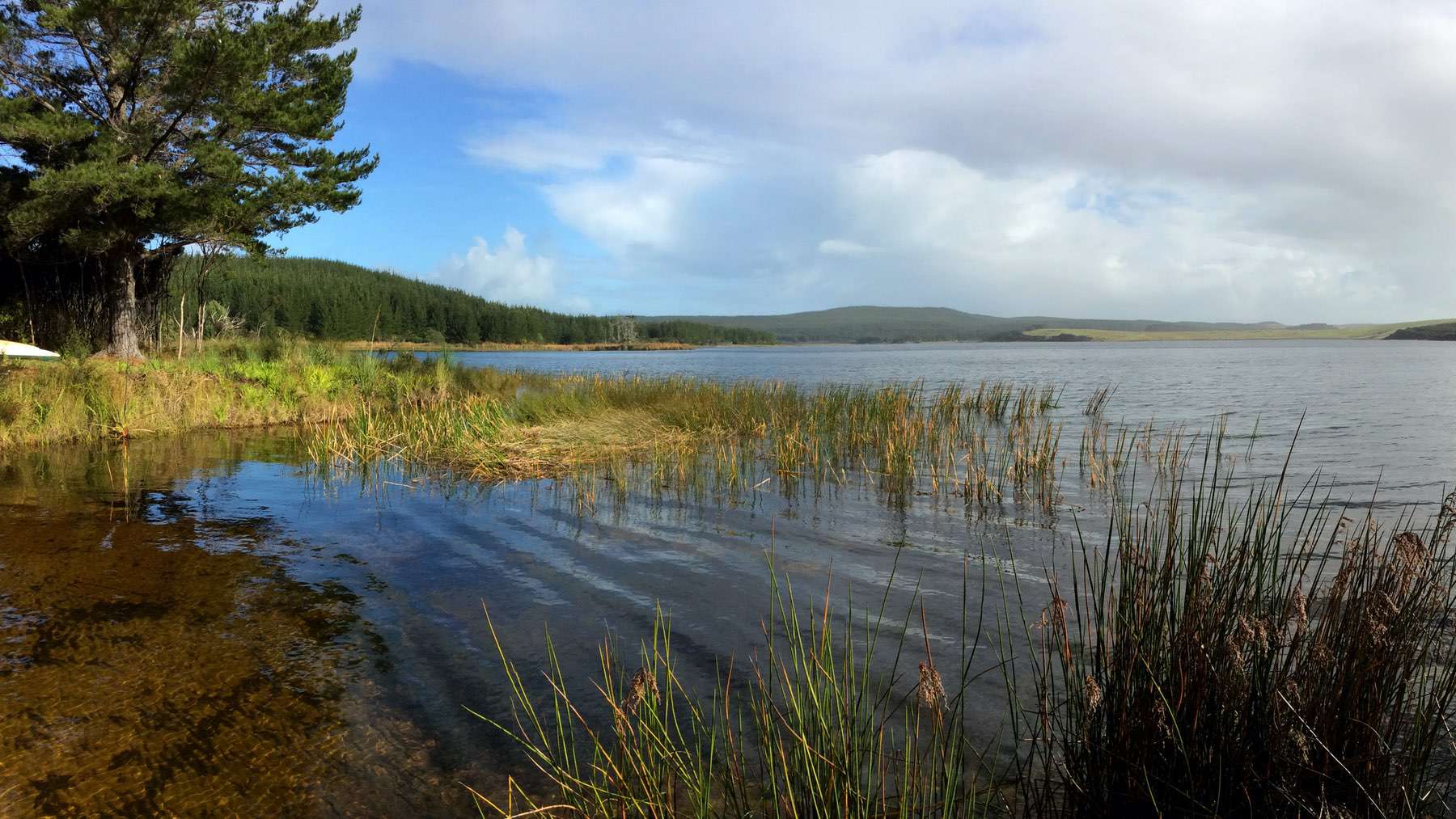
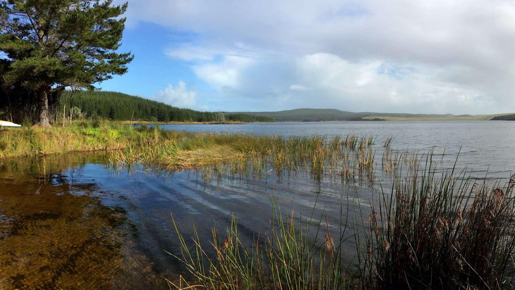
Lake Wahakari is a deep dune lake with a single south-central basin and a shallower area in its western end. The lake is classified as a Class 1 Perched dune lake, meaning it sits above the water table. The lake is ponded between dunes to the west and weathered hill country, with heavy clay soils to the east. The catchment is primarily plantation pine forestry (last harvested in 2005; 50%) manuka/kanuka scrub (40%) and fenced pasture (10%). There is an inflow at the north-western end of the lake, and the outlet at the south-eastern end passes through a raupo/flax swamp that discharges into Pārengarenga Harbour via the Te Kao Stream. The lake serves as a water supply to Te Kao.
