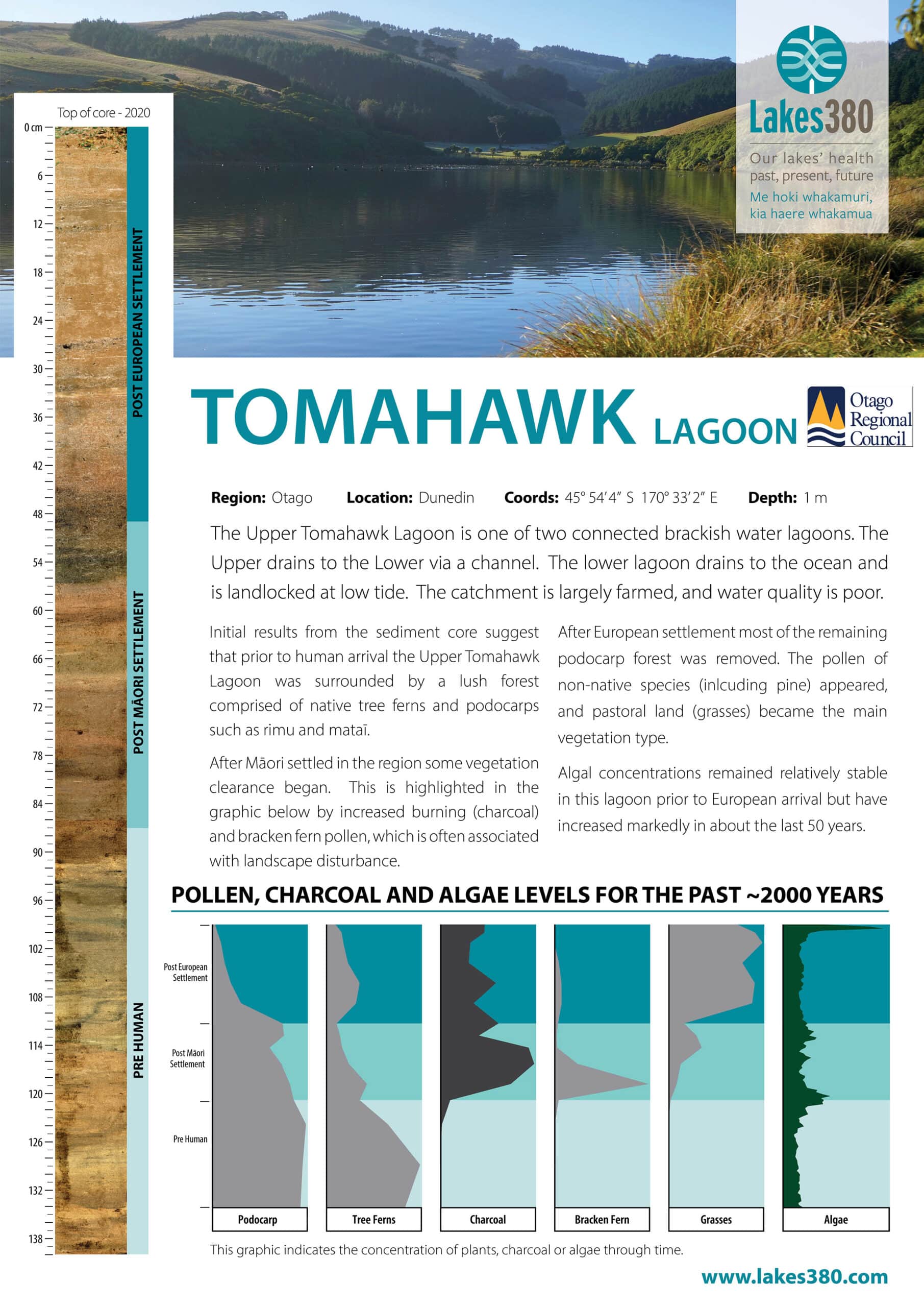
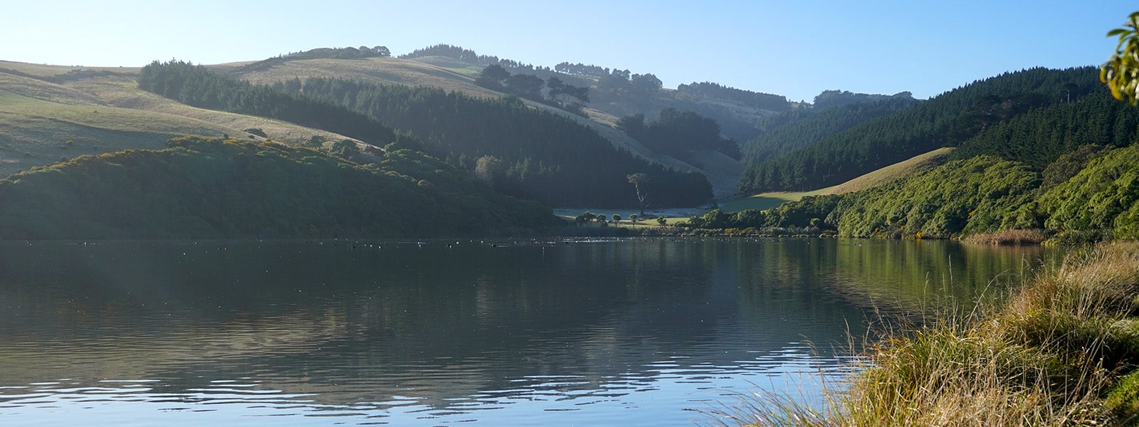
Tomahawk Lagoon (Upper) is the eastern lagoon of two shallow brackish water lagoons that are joined by a narrow channel. Together they are known as Tomahawk Lagoon. The Upper drains to the Lower, which then drains to the ocean via a small stream, which is cut off from the ocean at low tide. Several small streams flow through the steep valleys to the north and northeast, feeding into the the northeastern end of Tomahawk Lagoon (Upper). Owing to the pastoral nature of much of the surrounding land, nutrient runoff into the lake is frequently high, resulting in its often eutrophic nature. Tomahawk Lagoon (Upper) is a wildlife reserve (Wikipedia).


