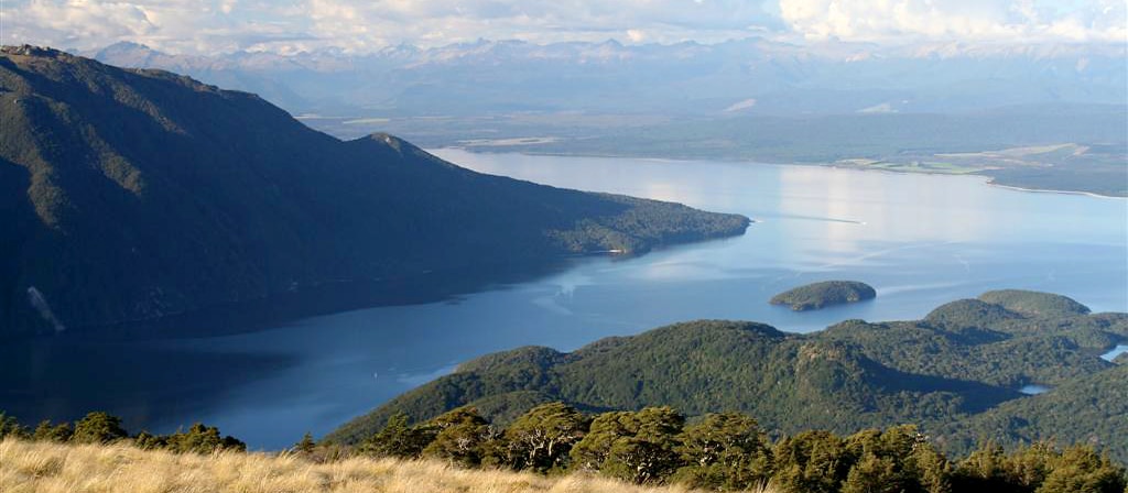
Lake Te Ana-au (Te Anau) lies in the south west of South Island New Zealand (www.kahurumanu.co.nz/atlas). The lake is the largest in the South Island, and second only to Lake Taupō in the North Island. With the surface of the lake at an altitude of 210 m and a depth of over 410m at its deepest point, much of its bed lies below sea level. It is the largest lake in Australasia by fresh water volume (https://en.wikipedia.org).
The lake runs north-south over 65 km, with three large fiords forming arms to the west of the lake. These are the only inland fiords that New Zealand has. The main inflow is the Eglinton River and the outflow is the Waiau River, which flows south for 20 kilometres into Lake Manapōuri. The town of Te Anau lies at the south-eastern corner of the lake, close to the outflow (https://en.wikipedia.org). While Lake Te Ana-au has very good water quality, it has only moderate ecological condition due to invasive species (www.LAWA.org.nz). Most of the lake is within Fiordland National Park and the Te Wahipounamu World Heritage Site.
Lake Te Anau was important for the Māori tribes (Ngāi Tahu) as a stopping point on their trails between the east and west coasts of the South Island, where they obtained food and resources (https://en.wikipedia.org).
Image credit: “Lake Te Anau” by Tom@Where is licensed under CC BY-NC 2.0


