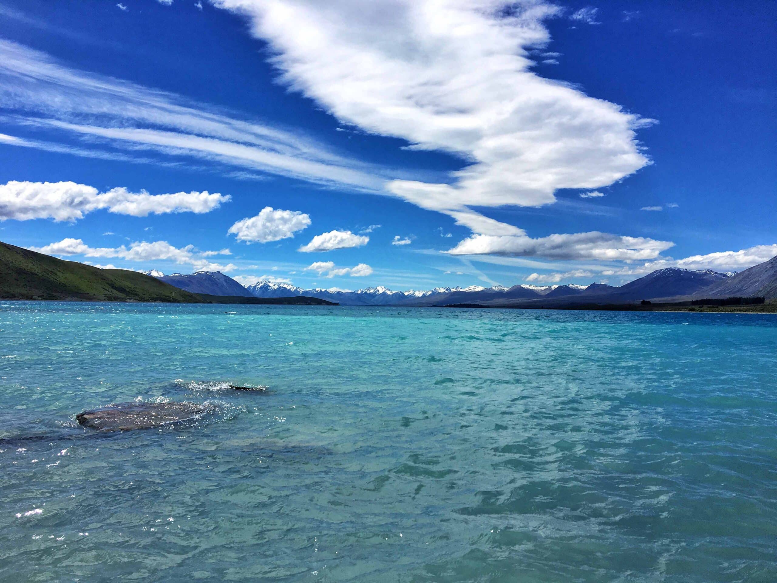
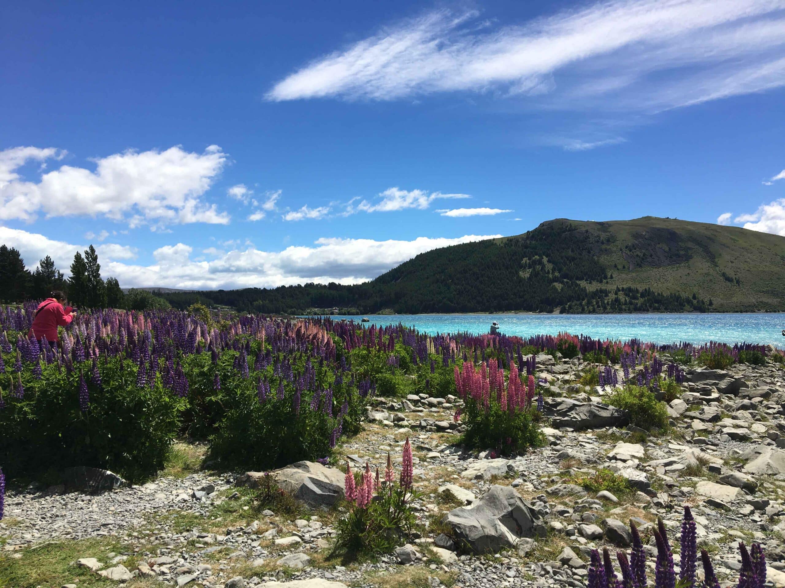
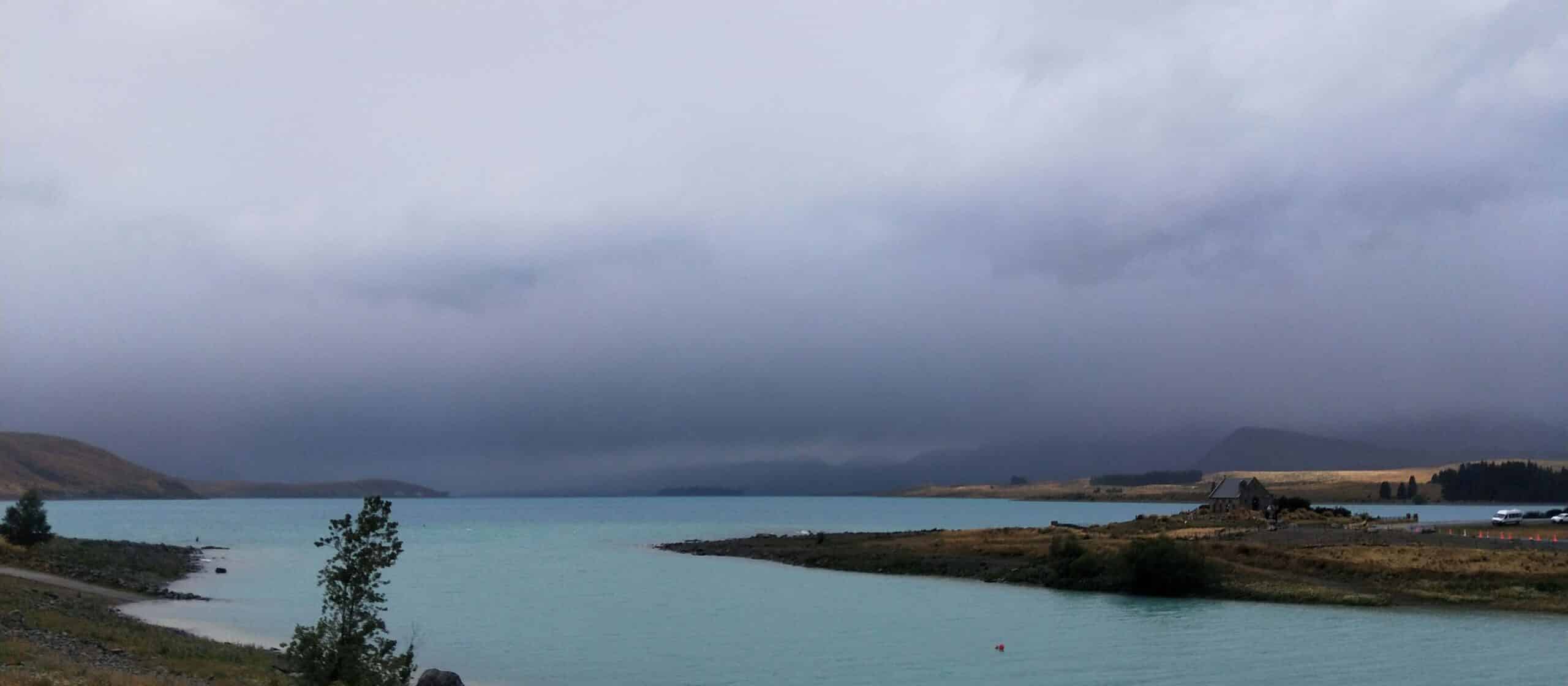
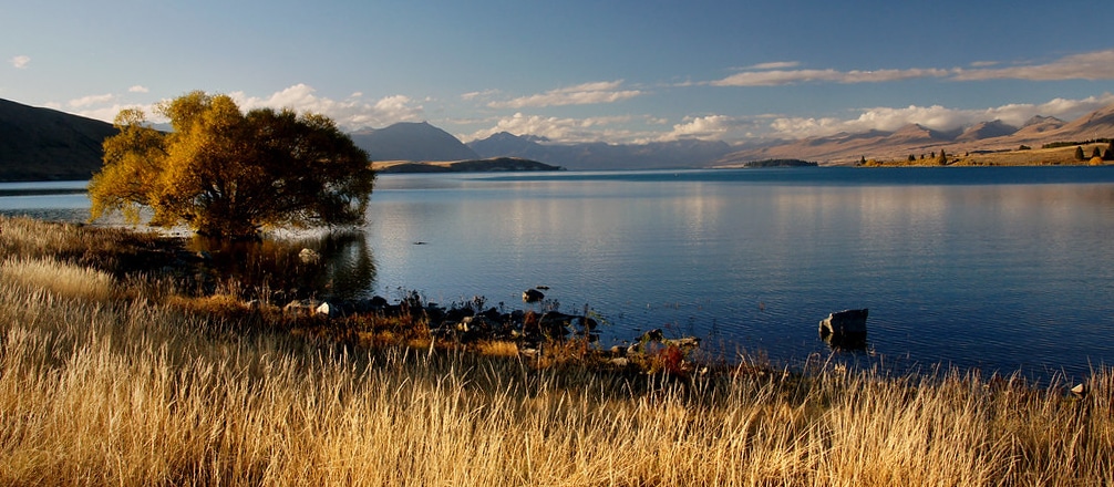
Takapō (Lake Tekapo) is a large glacial fed lake located near the Lake Tekapo township on the north edge of Te Manahuna (Mackenzie Basin). The lake is surrounded by tall peaks and hills with the Godley and Macauley rivers flowing into the northern end of Takapō, from the Southern Alps. Lake Tekapo Regional Park, is located on the southern shore of the lake.
The lake’s water quality is very good and its ecological condition is excellent (www.lawa.com). The characteristic light turquoise colour comes from glacial silt, known as glacial flour. A popular tourist destination, on a clear day, the taller snow-capped peaks of Mount Cook National Park are visible, and Takapō and the surrounding district were recognized as an International Dark Sky Reserve in 2012.
Takapō was a mahinga kai (customary food gathering site) for Ngāi Tahu, renowned for tuna (eels) and weka (https://www.kahurumanu.co.nz/atlas).


