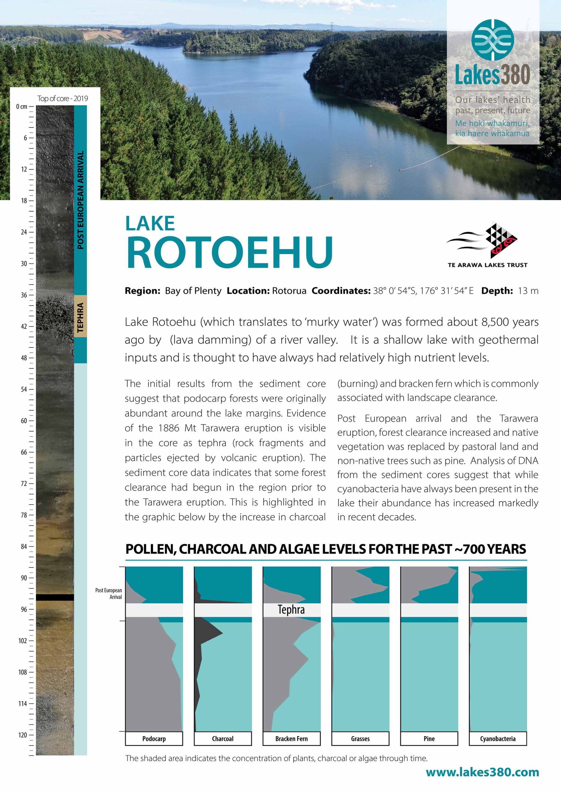
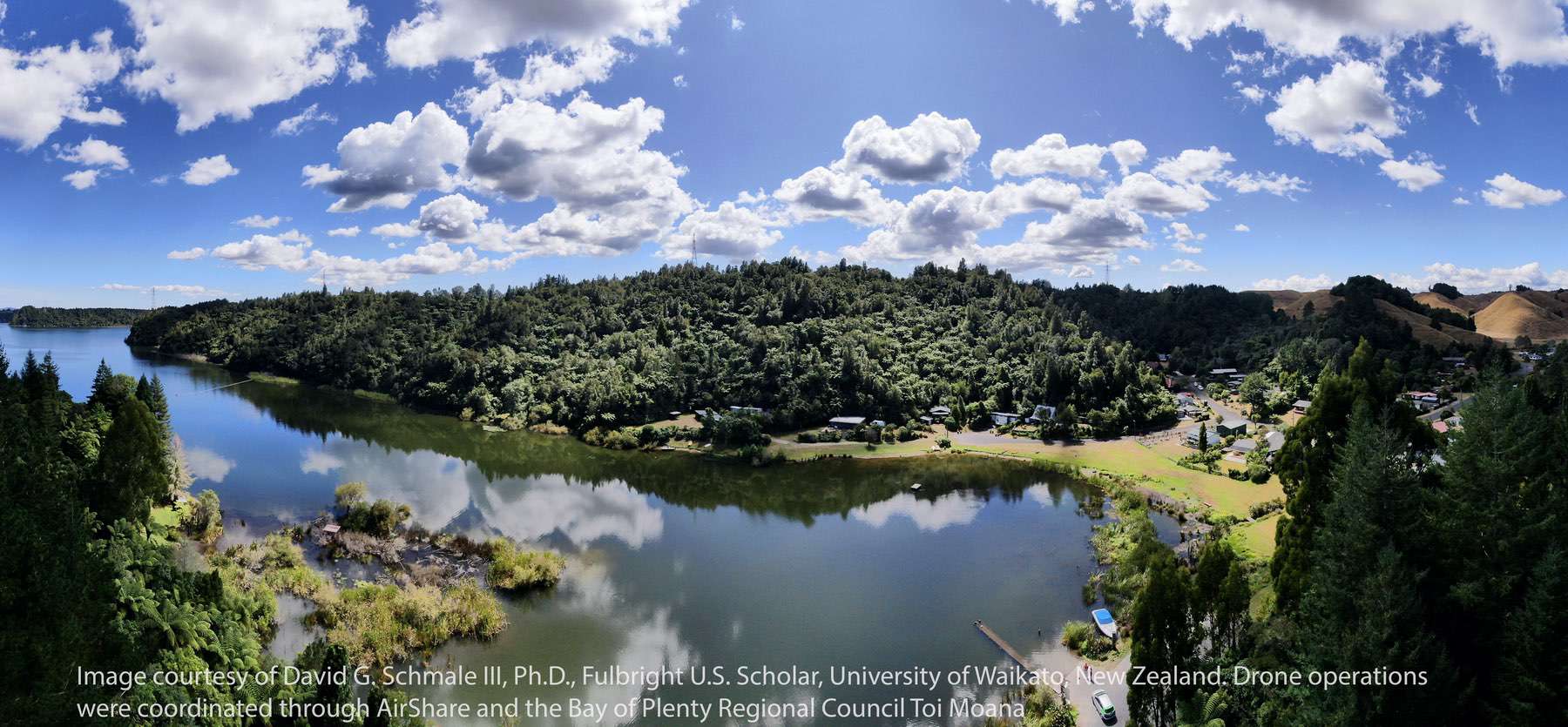
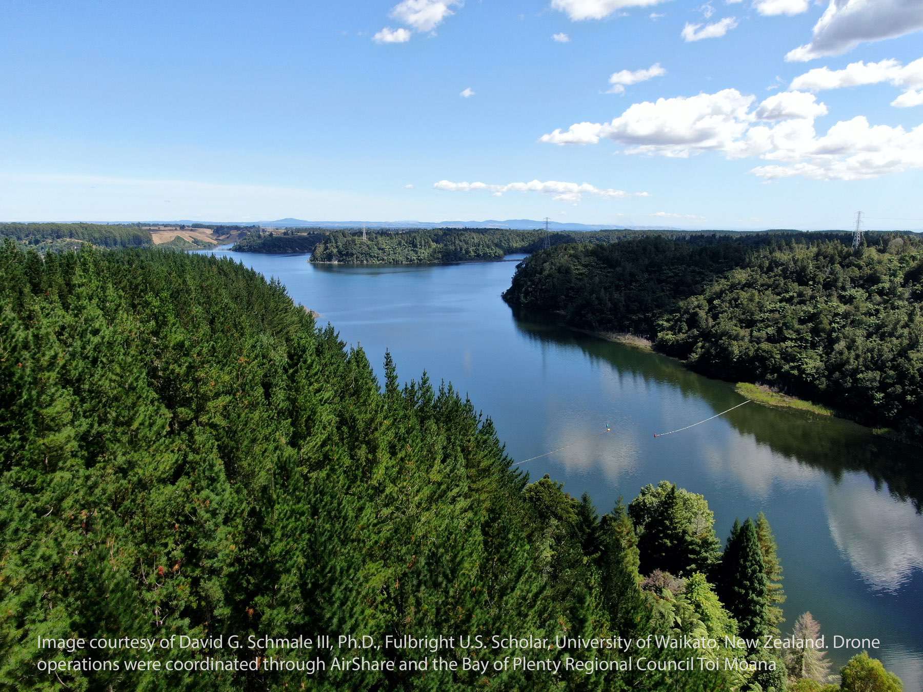
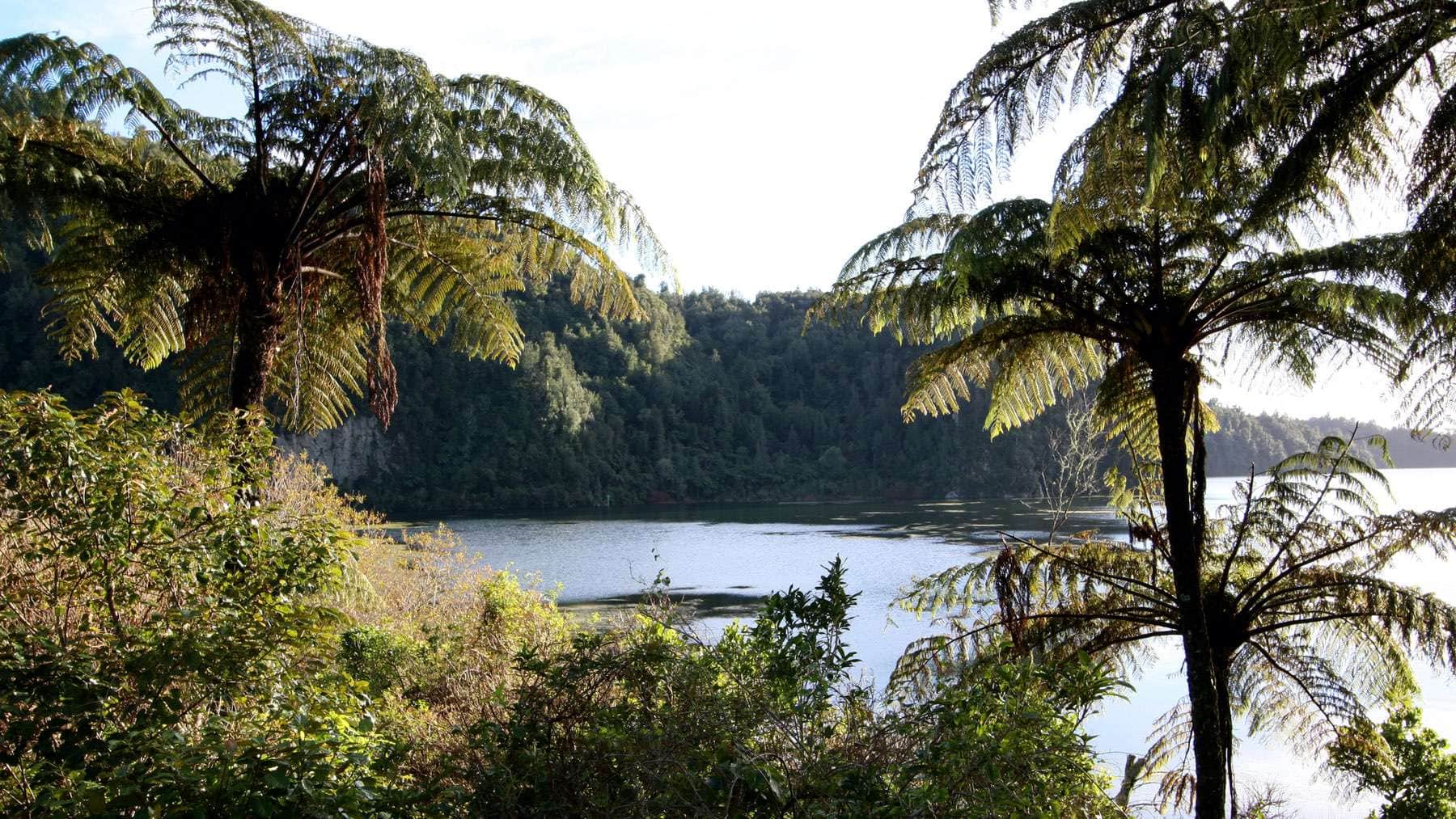
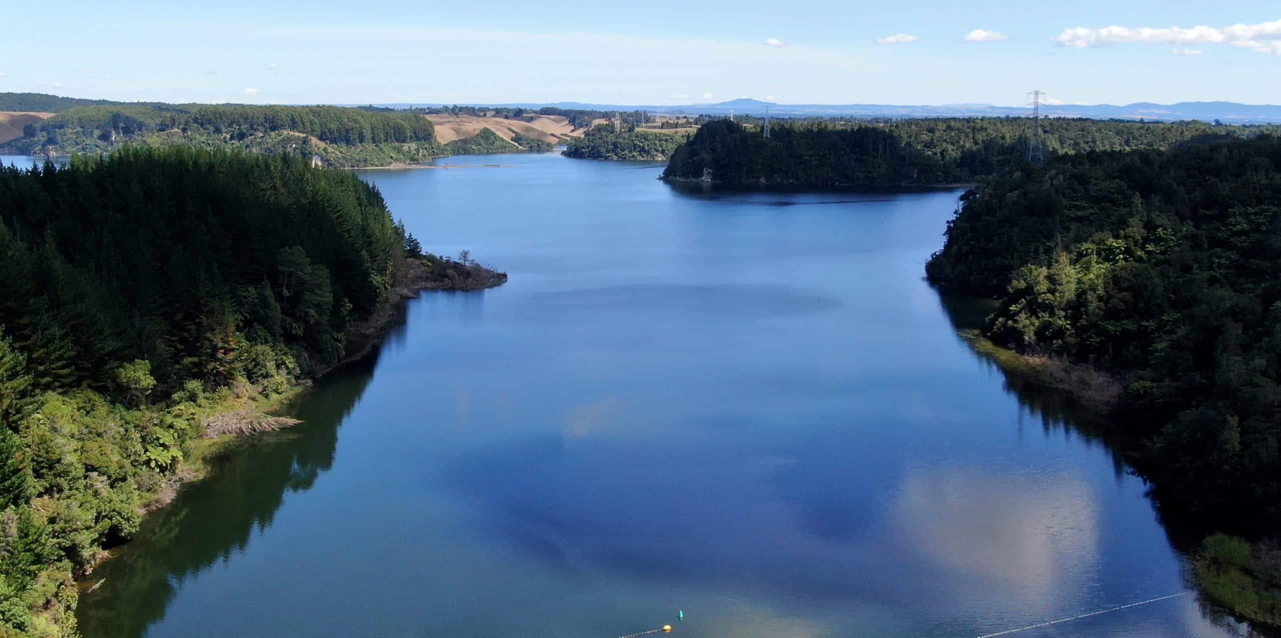
Lake Rotoehu lies east of the Rotorua township and was formed by “lava damming” of a river valley. The catchment has a relatively even distribution in terms of land cover. Rotoehu has a maximum depth of 13.5 m, has geothermal inputs (possibly from groundwater sources) and has no true outlet (source www.lawa.co.nz).
