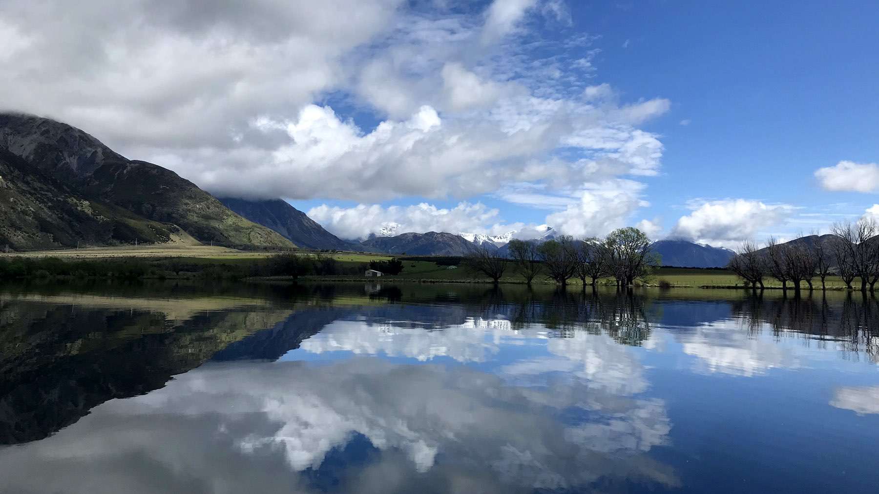
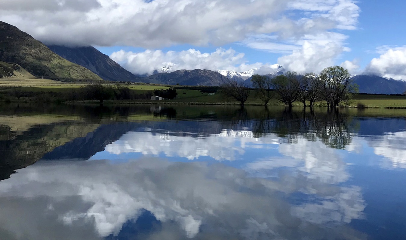
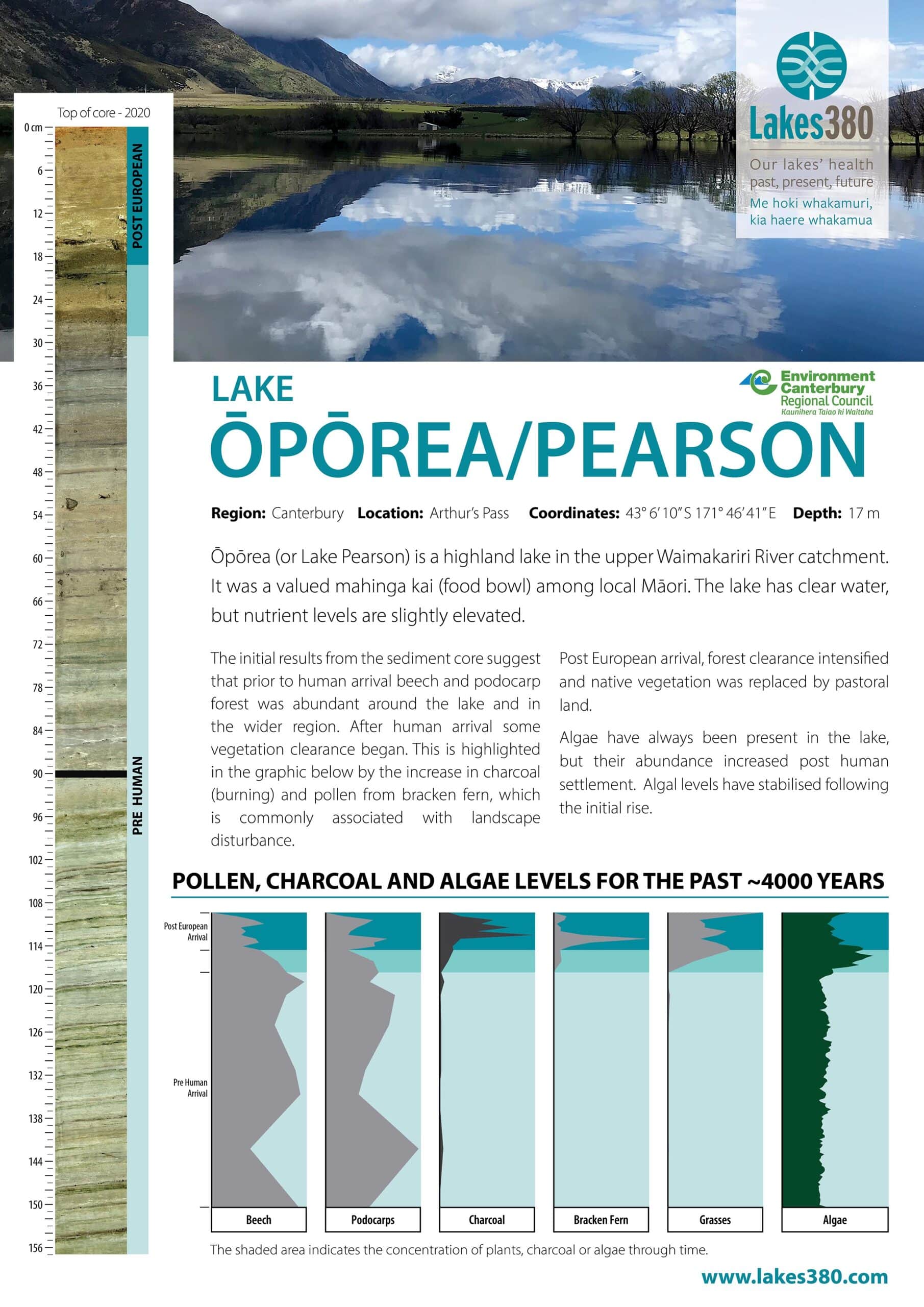
Ōpōrea is the traditional Māori name for Lake Pearson. It is also known as Moanarua. It is a moderate sized highland lake, situated in the upper Waimakariri River catchment. Traditionally this lake was valued among local Māori as a mahinga kai (food bowl) site (source www.kahurumanu.co.nz/atlas).
The lake is considered to have low-moderate nutrient enrichment levels, with relatively clear water. The lake covers an area of 43.2 hectares, with a maximum depth of 17.5 m (source lawa.co.nz).


