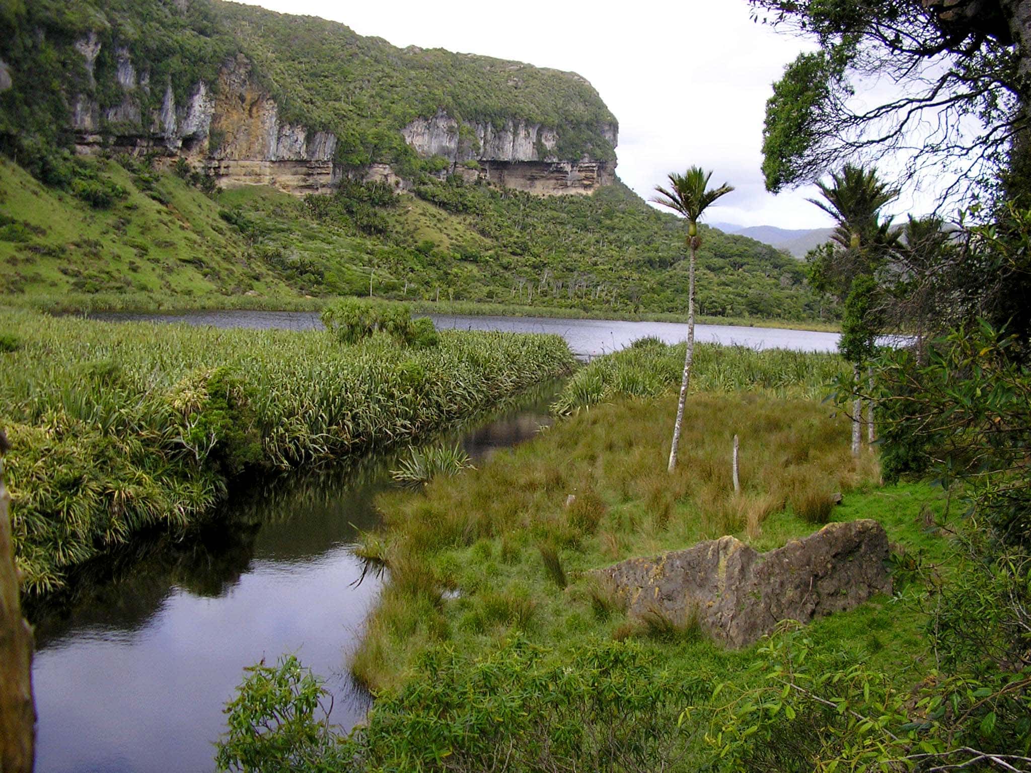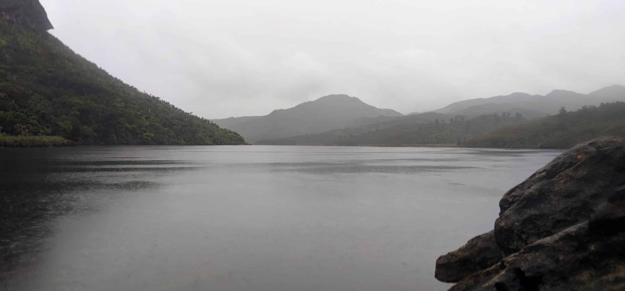
Lake Otuhie is a shallow coastal lake located between Westhaven/Whanganui Inlet and Kahurangi Point. The lake has three inflow tributaries and a surface outflow. The lake’s catchment is influenced by limestone geology. The eroded limestone bluffs at the western end of the lake suggest that it lies in a river basin that is quite old and that the lake was most likely formed by landslides from the steep limestone hills at the now western end of the lake. The catchment was intensively mined for gold in the late 1800s at which time Sandhills Creek was dammed, raising the water level of the outflow to lake levels and expanding the size of the lake. The dam no longer exists. Presently, the catchment comprises 95% native vegetation and 5% pasture.