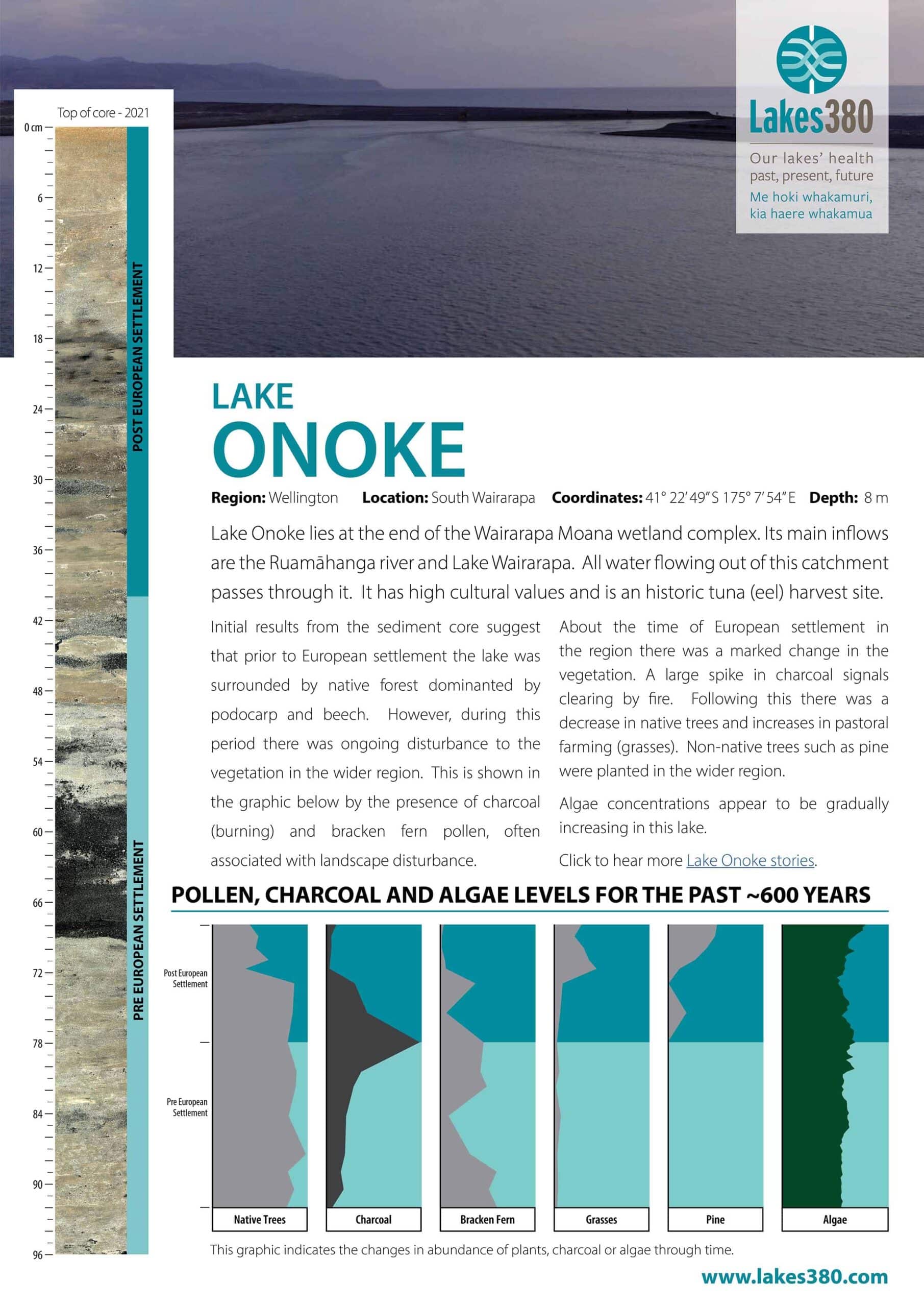
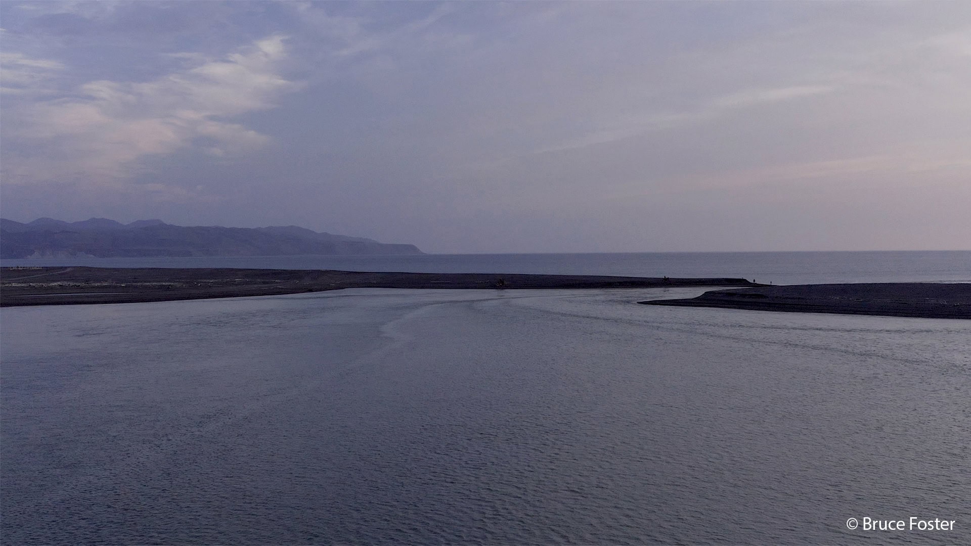
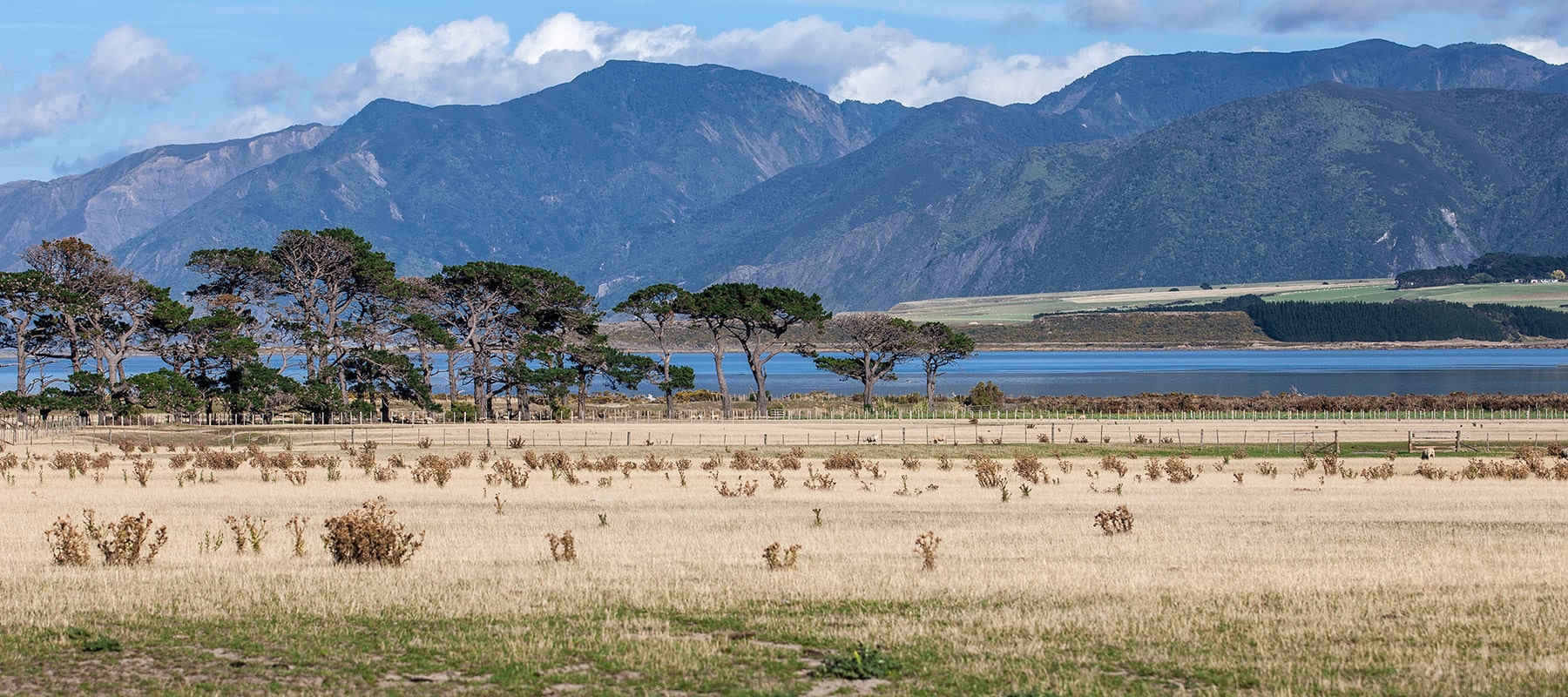
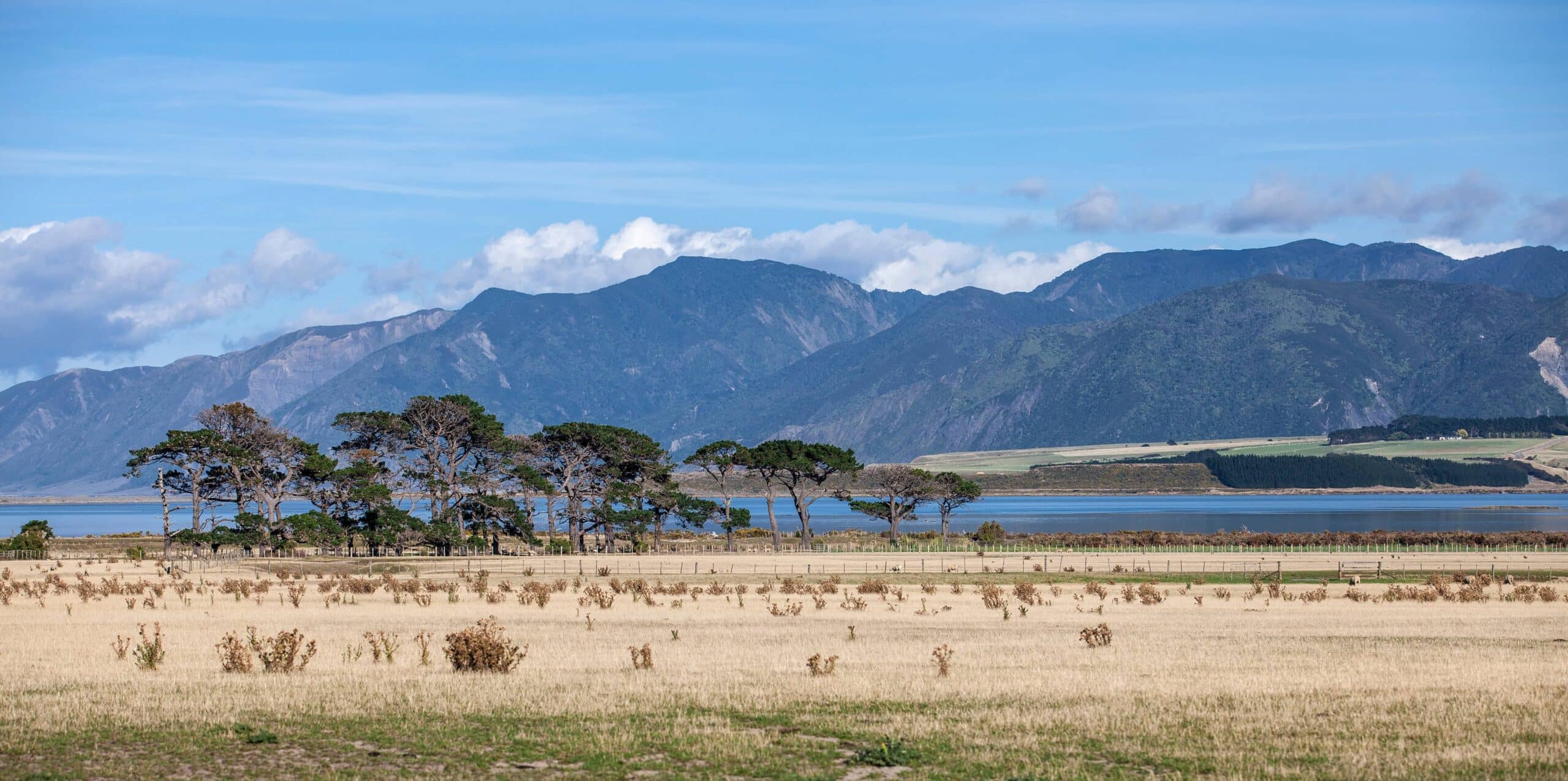
Lake Onoke is approximately 622 hectares in size and is the second largest lake in the Wellington region. It is located at the very bottom of the Ruamahanga River catchment on the southern Wairarapa coast and drains to Palliser Bay through an opening via a sand spit at the south-eastern end of the lake. The main inflow to the lake is the Ruamahanga River which drains a large and predominantly agricultural catchment encompassing the entire Wairarapa Valley. Several smaller tributaries also flow directly into the lake, notably the Turanganui River and Pounui Stream (via Pounui Lagoon). Lake Onoke is around 8 m deep at its deepest point but the majority of the lake is shallow.
Click to hear more Lake Onoke stories.


