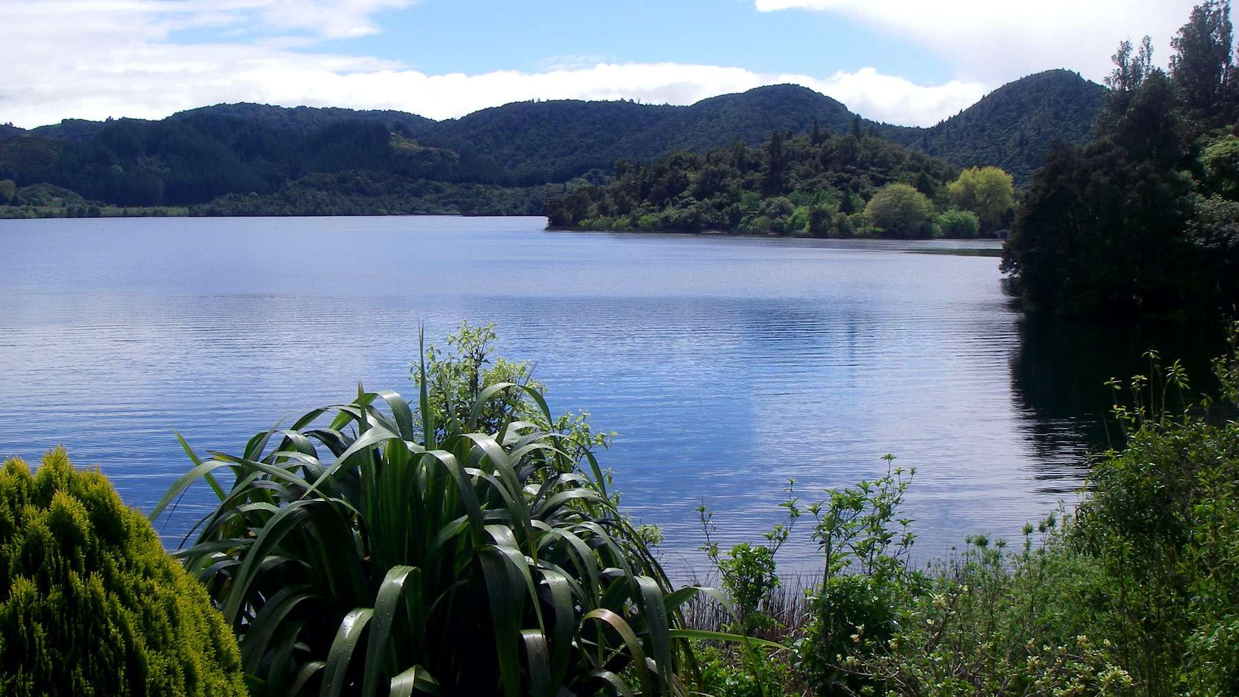
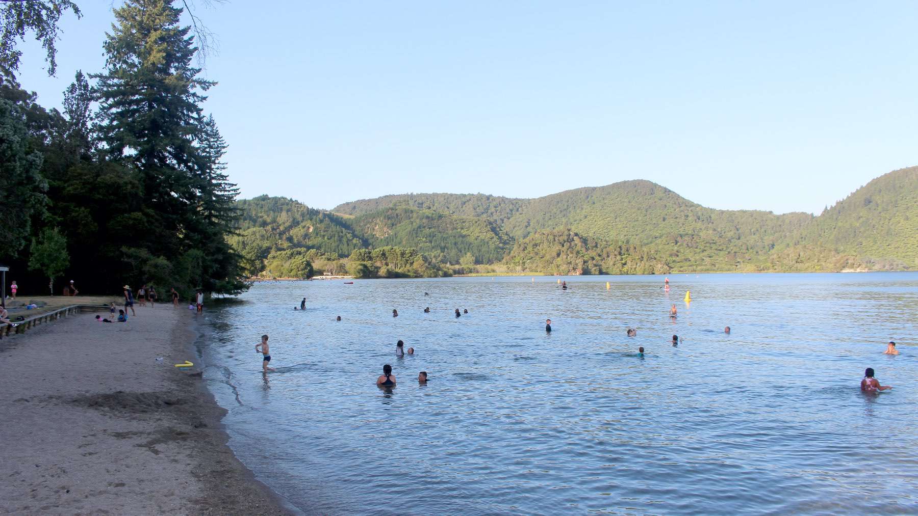
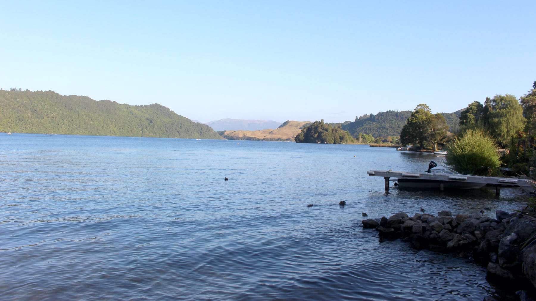
Lake Ōkāreka is in an ignimbrite plateau and has steep caldera walls on its north-eastern side, testament to the processes that formed the Haroharo Caldera. The lake receives most of its input via groundwater seepage, run-off and rainfall, and has a maximum depth of 34 m. Lake level is controlled via a valve at Waitangi Spring and a channelled and piped stream. The discharge flows into Lake Tarawera (www.lawa.co.nz).


