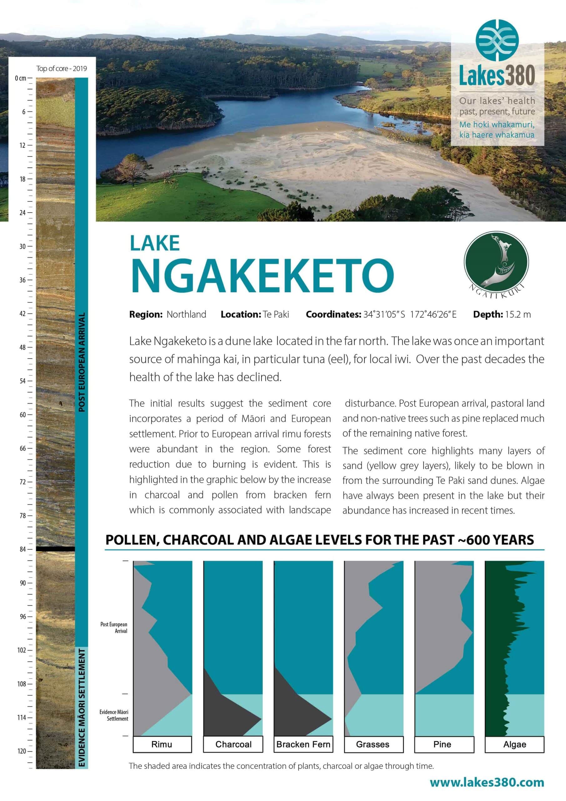
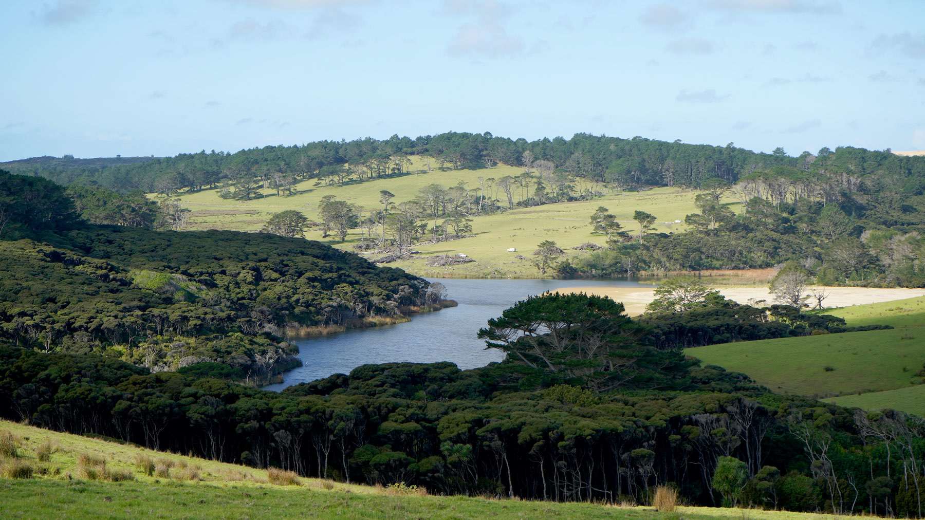
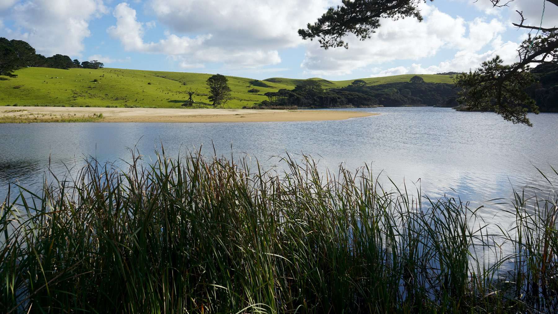
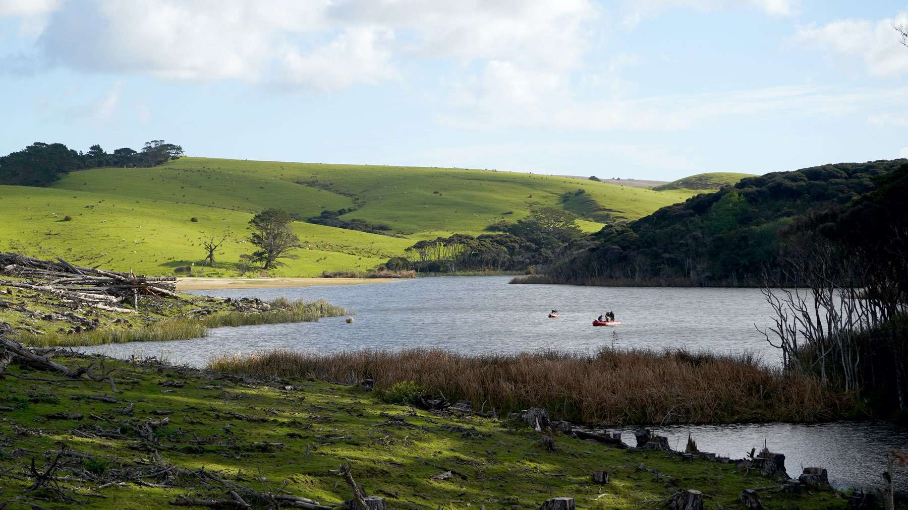
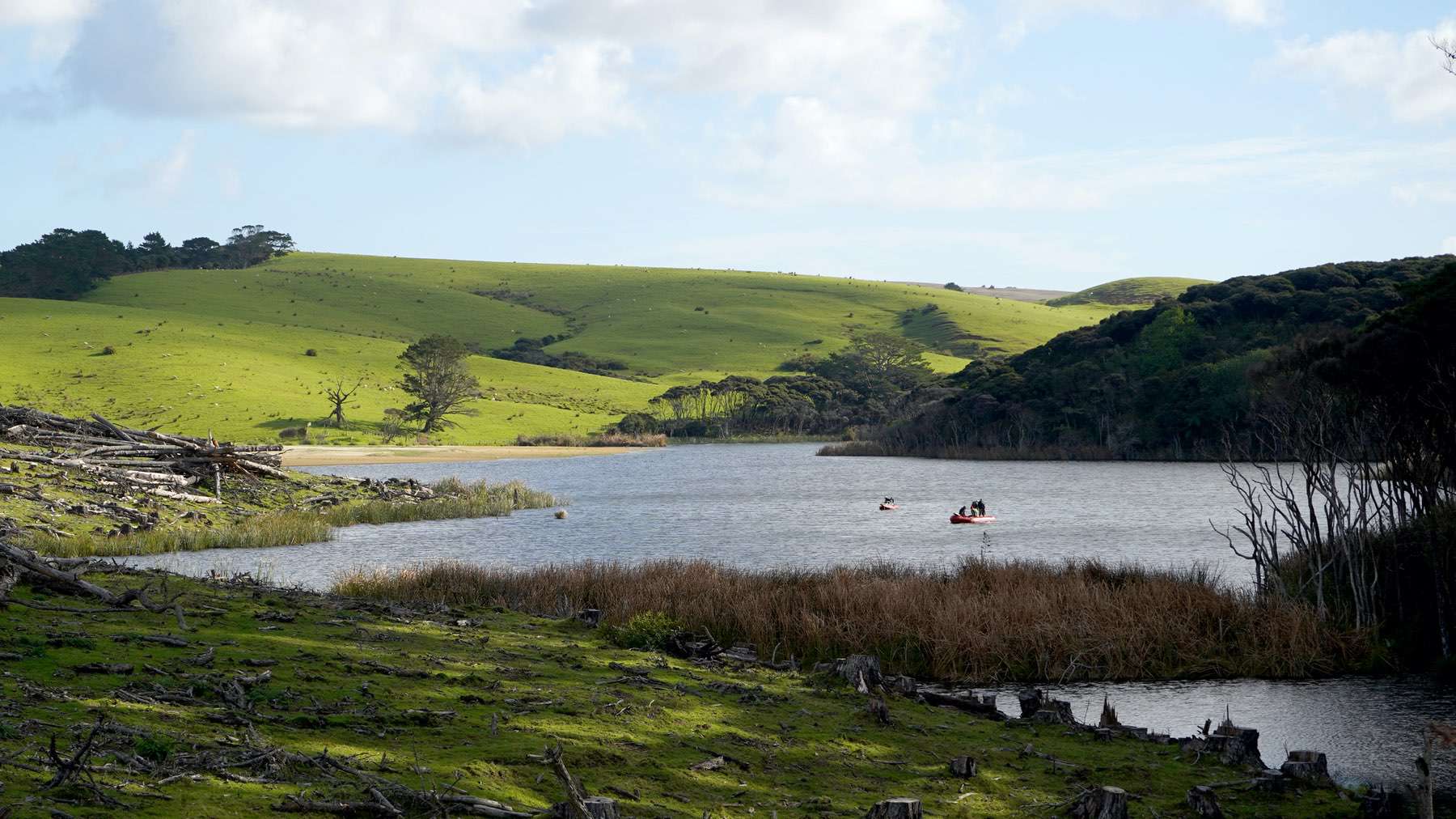
Lake Ngakeketo is situated in sand dunes and is an impounded stream system occupying 11.3 hectares. The catchment is vegetated with manuka (70%), pasture and pines (20%) and mobile dune (10%) near the outlet. The lake is comprised of two arms; the western arm fed by a stream flowing from the north, with the outflow obstructed by beds of emergent raupo (Typha orientalis), flowing into the Te Paki Stream.

