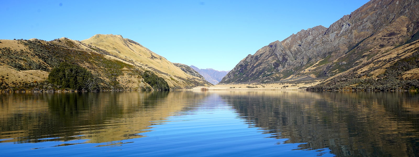
Punamāhaka and Waikāmāhaka are the traditional names for Moke Lake. Both names mean “twin waters” in reference to the peculiar shape of the lake. Moke Lake is a steep montane lake, surrounded by tussock farmland and an adjoining bog. It is an Area of Significant Indigenous Vegetation (QLDC). It is near Queenstown off the Queenstown-Glenorchy road beside Lake Wakatipu.

Moke Lake / Punamāhaka / Waikāmāhaka
Depth:
45 metres
Area:
81 hectares
Lake ID:
10404
Main vegetation type:
Low Producing Grassland
Queenstown
44° 59' 57" S
168° 34' 3" E

Highland
Iwi / representative groups:
- Ngāi Tahu
- Hokonui Rūnanga
- Kāti Huirapa ki Puketeraki
- Te Rūnanga o Awarua
- Te Rūnanga o Moeraki
- Te Rūnanga o Ōraka Aparima
- Te Rūnanga o Ōtākou
- Waihōpai Rūnanga
Description
Sediment Core

