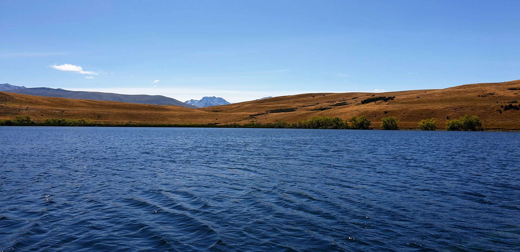
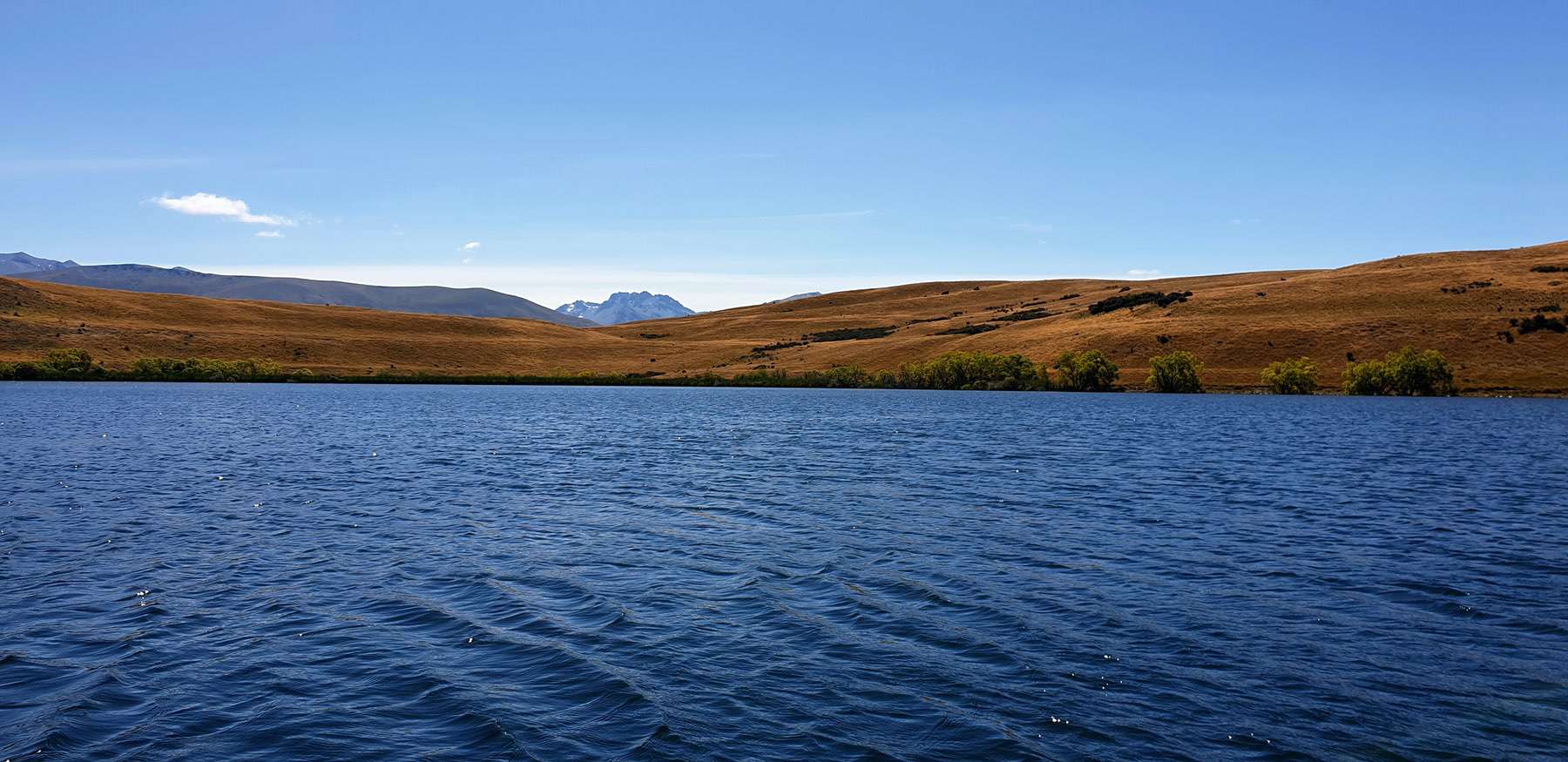
Whakarukumoana (Lake McGregor) lies on the western shore of Lake Tekapo at an altitude of 700 m. The lake covers an area of 37 hectares with a maximum depth of 11.5 m.


Whakarukumoana (Lake McGregor) lies on the western shore of Lake Tekapo at an altitude of 700 m. The lake covers an area of 37 hectares with a maximum depth of 11.5 m.
