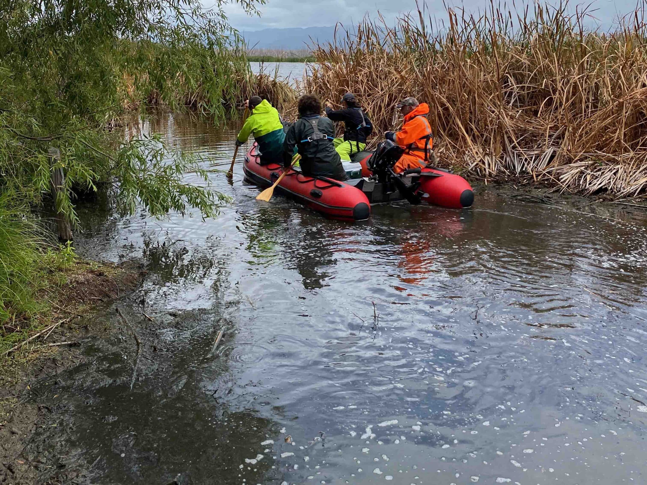
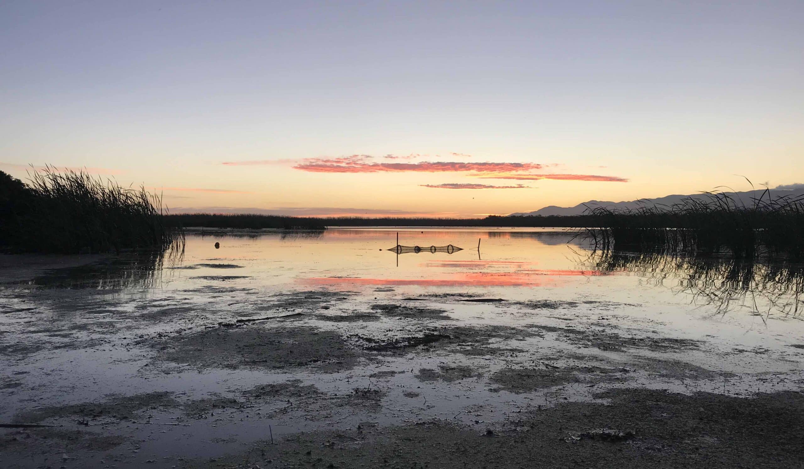
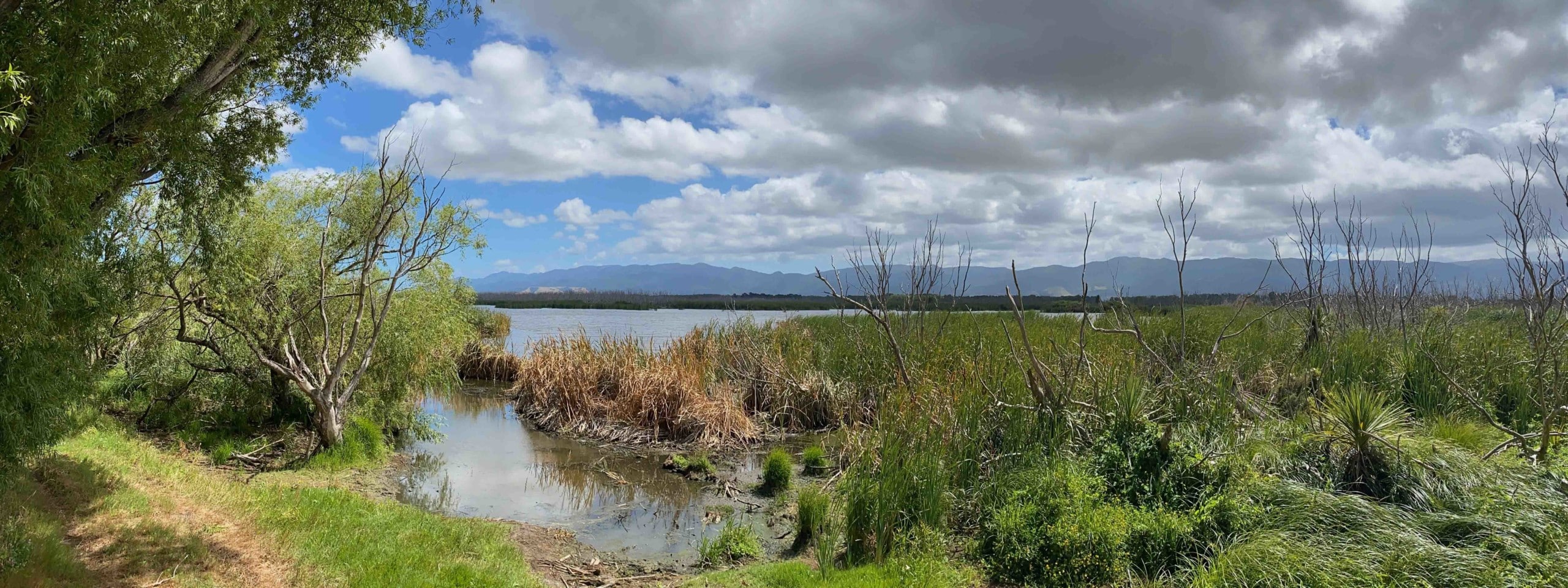
Matthew’s Lagoon is located at the eastern edge of Lake Wairarapa in the Greater Wellington Region. The lagoon is part of the wider Wairarapa Moana wetland complex, which became a RAMSAR site in 2020, recognising it as a wetland of international importance. The Lagoon formed as a result of sanddune deposition and changes in river courses. Due to engineering works in the 1980s the lagoon receives surface inflow from the Te Hopai drainage scheme, receiving agricultural outputs from surrounding farms. It is affected by water pollution and invasive plant species, and discharges to Oporua floodway (https://researcharchive.vuw.ac.nz/xmlui/handle/10063/3481).


