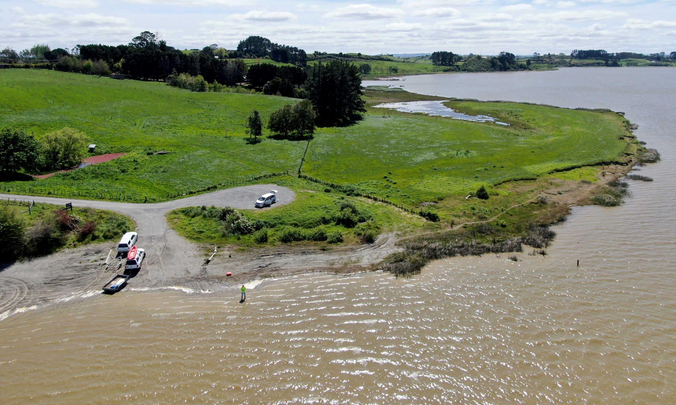
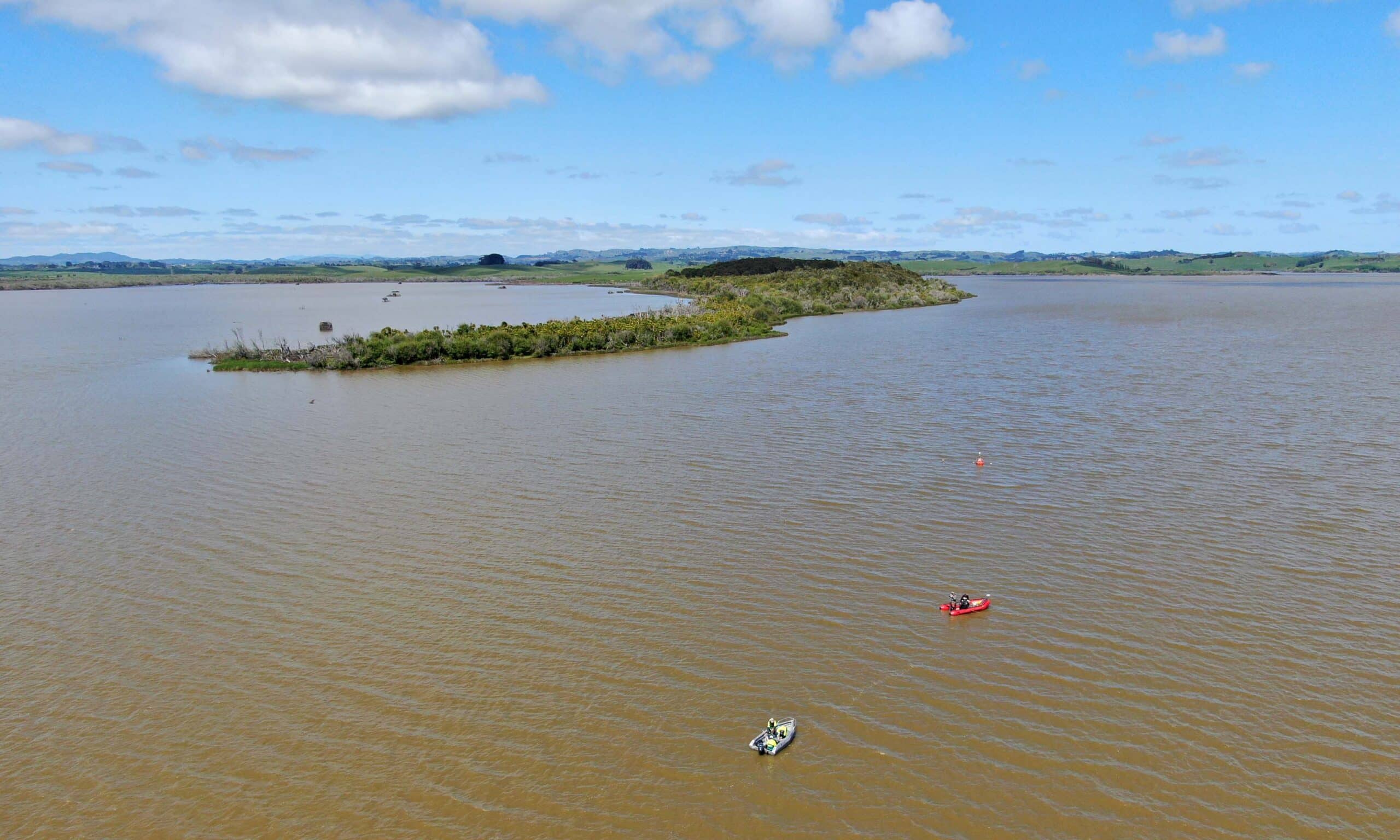
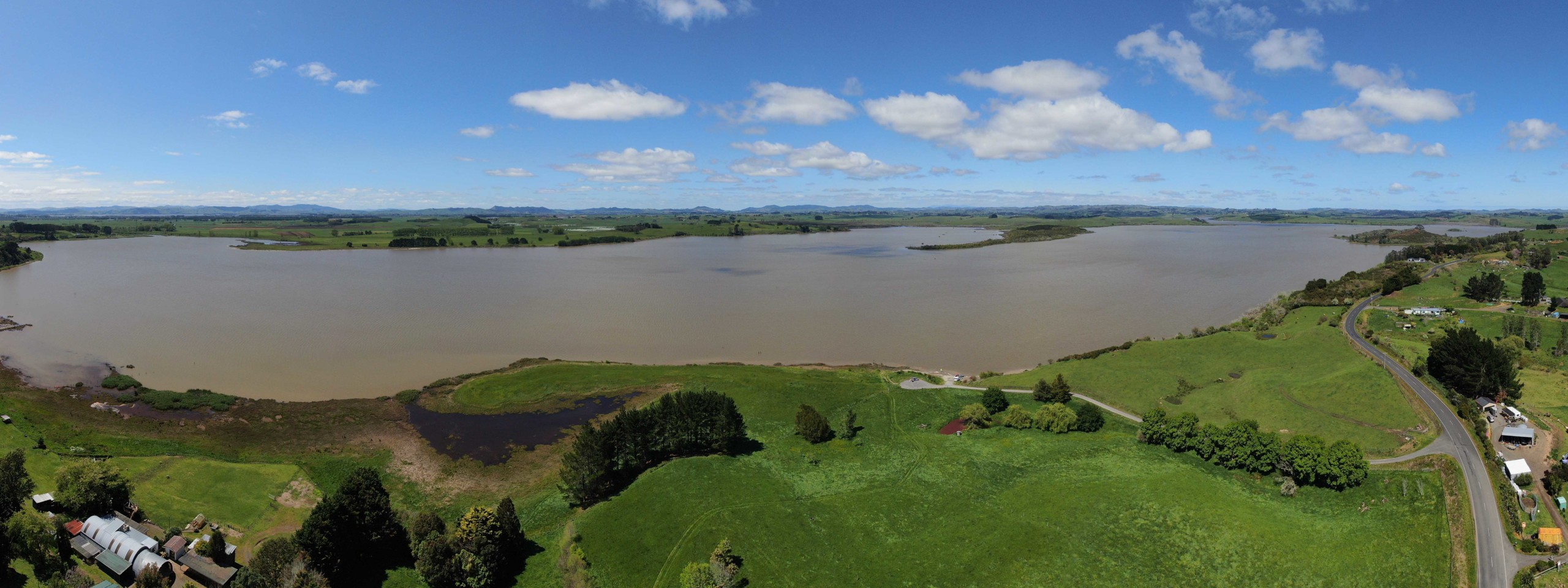
Lake Whangape is located north-west of Huntly and is the second largest lake in the lower Waikato catchment. It was once a clear water source which sustained many generations of Māori, who managed it carefully to ensure it maintained its reputation as a formidable food basket resource. The Lake Whangape catchment is mostly pastoral, and has received inflows from coal mining in the past. Lake Whangape drains to the Waikato River via the Whangape Stream. A rock rubble weir has been constructed on the outlet of the lake to protect the minimum water level (www.waikatoregion.govt.nz). More than 50 years of degradation has resulted in the lake becoming degraded. The lake is now hypertrophic, meaning it is very nutrient enriched, and has murky waters, algal blooms and pest plants. DOC, Waikato Regional Council and Waikato-Tainui are involved in a restoration plan (www.DOC.govt.nz).
Main image by David G. Schmale III, Virginia Tech, https://www.schmalelab.spes.vt.edu/


