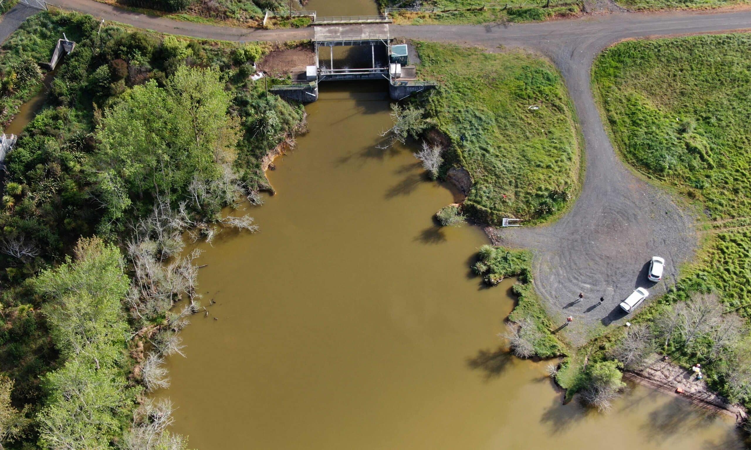
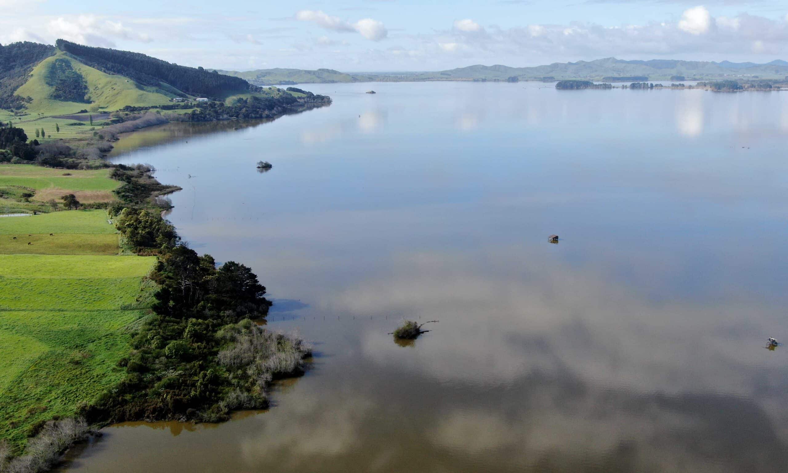
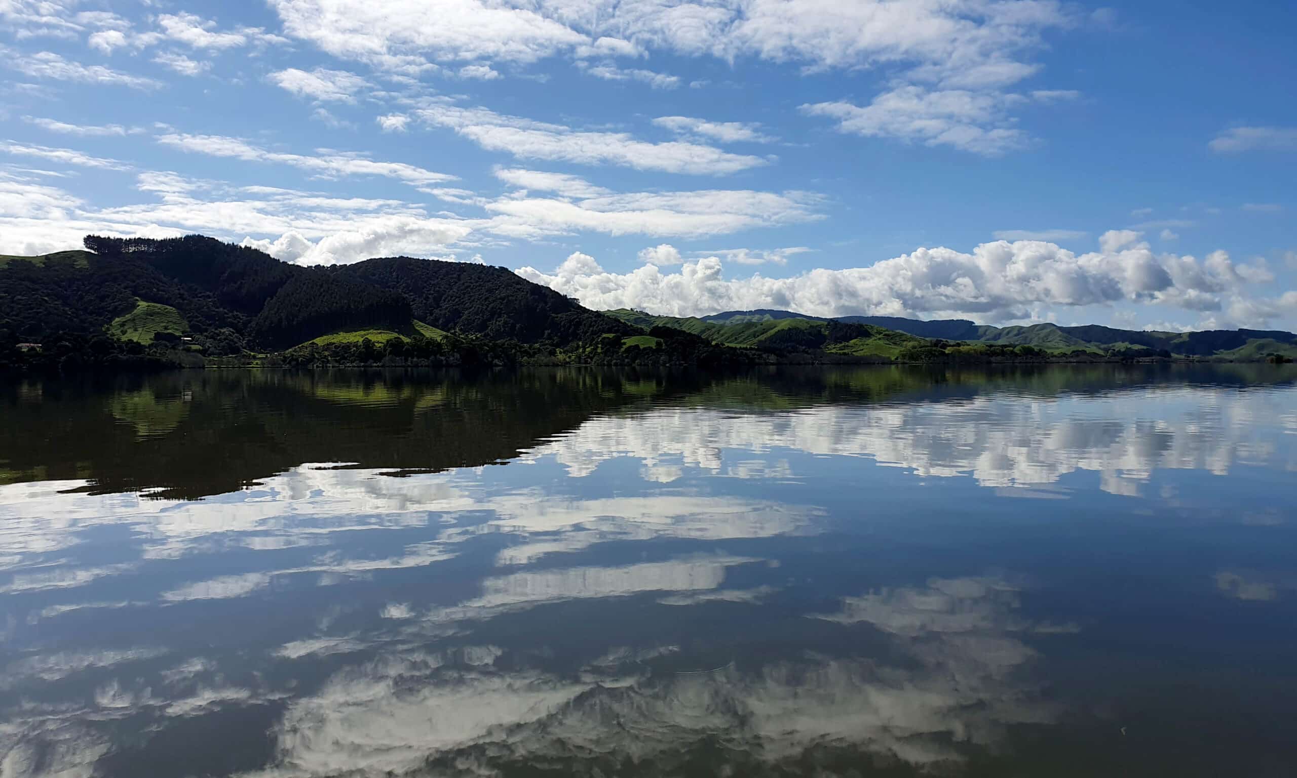
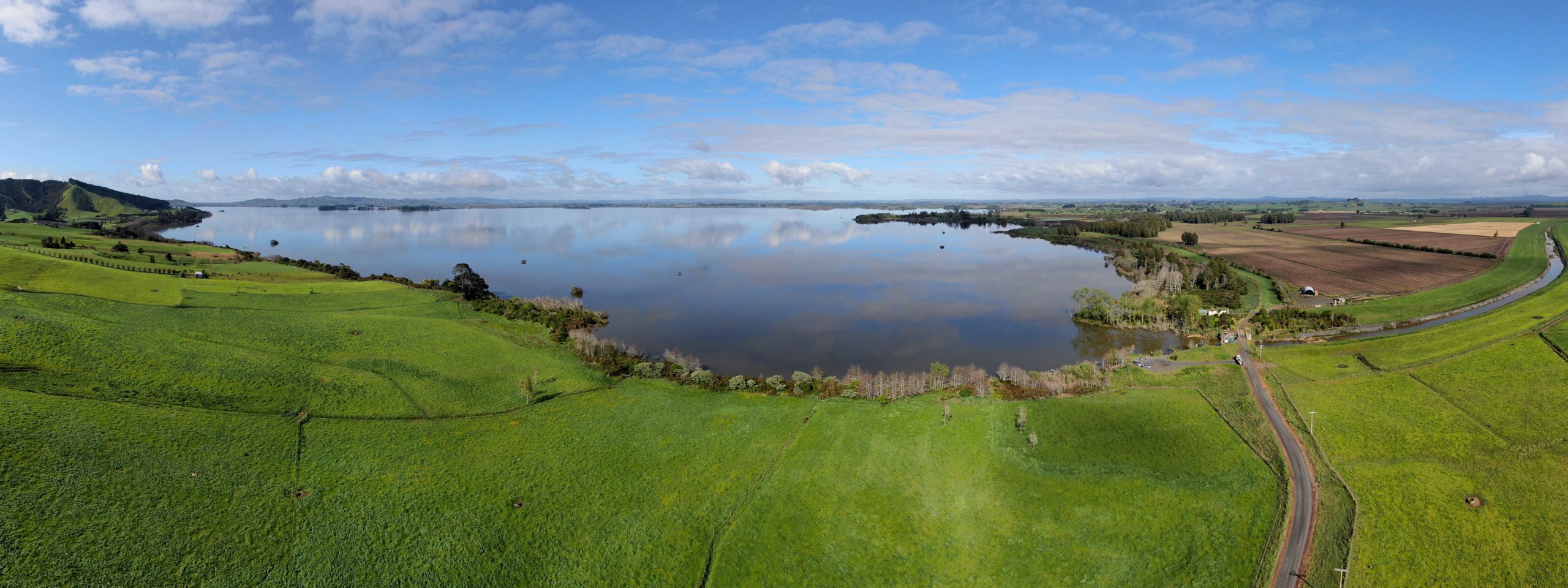
Lake Waikare is the largest lake (3,442 hectares) in the lower Waikato catchment. In 1965 the lake level was lowered by one metre as a flood control measure with the construction of an outlet gate. Lake Waikare discharges to the Whangamarino Wetland from the artificial Pungarehu Canal (www.waikatoregion.govt.nz).
Due to its shallow nature (its depth is never more than two meters) and a number of different stressors such as pest fish and increased nutrients and sediment the lake is in a poor condition (en.wikipedia.org).
Main image by David G. Schmale III, Virginia Tech, https://www.schmalelab.spes.vt.edu/


