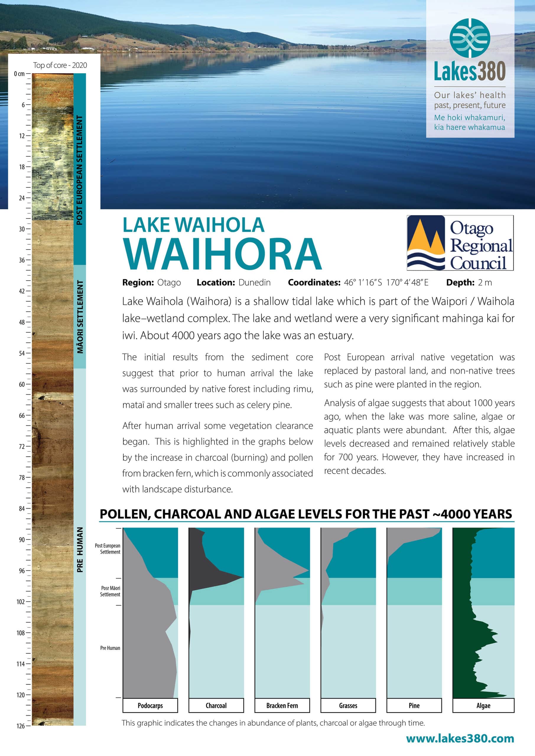
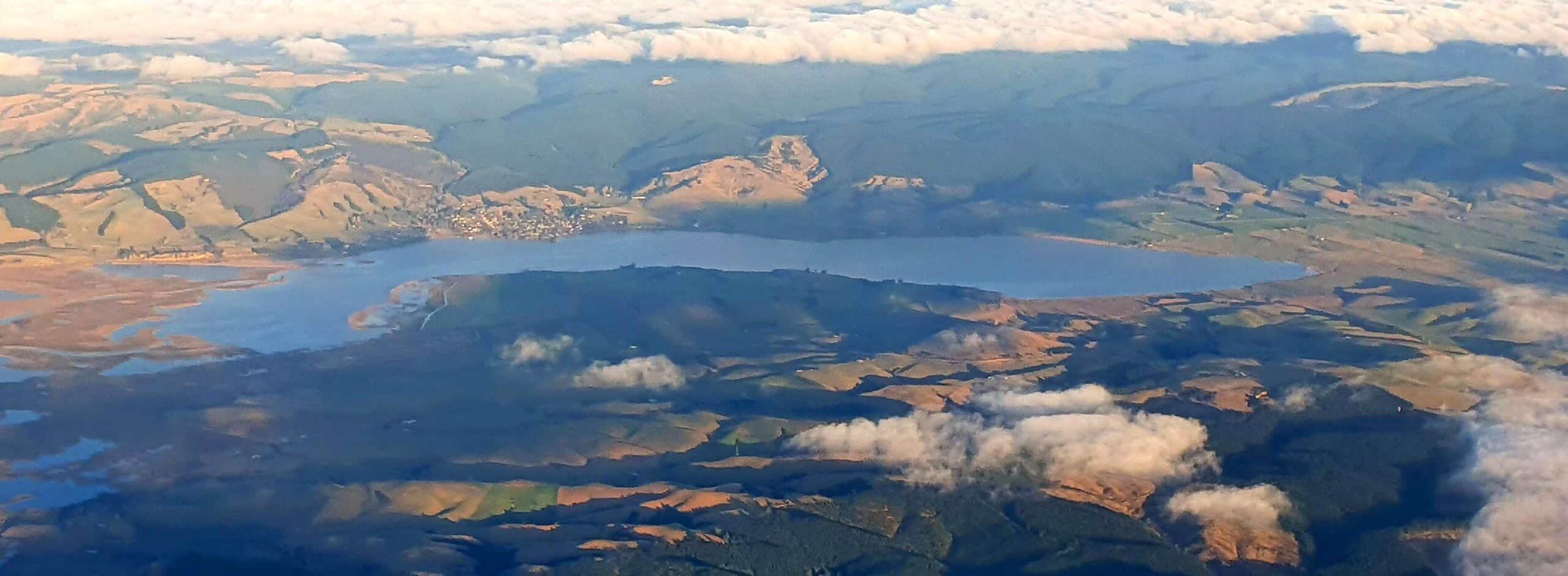
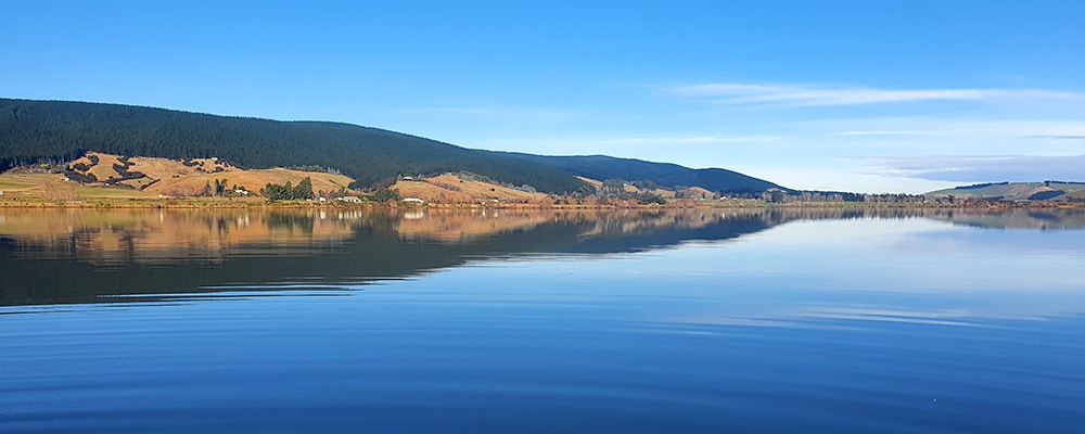
Lake Waihola (Waihora) is situated on the lower Taieri Plain, 30 kilometres south-west of Dunedin and 10 km from the coast. It is part of the Waipori-Waihola wetland complex that covers 2000 hectares. The wetland is regarded as one of the largest and most significant remaining freshwater wetlands in New Zealand and supports a diverse and highly productive ecosystem. Lake Waihola covers an area of 62 hectares and receives water directly from the surrounding agricultural and indigenous forest catchment. Channels on the eastern side of the lake are connected to the lower Waipori River. The lake is shallow and lies only slightly above sea level. On a flood tide water from the Taieri River flows into the lake. The tidal fluctuation in the lake is in the order of 0.3 meters. The lake is classified as supertrophic (www.lawa.org.nz).


