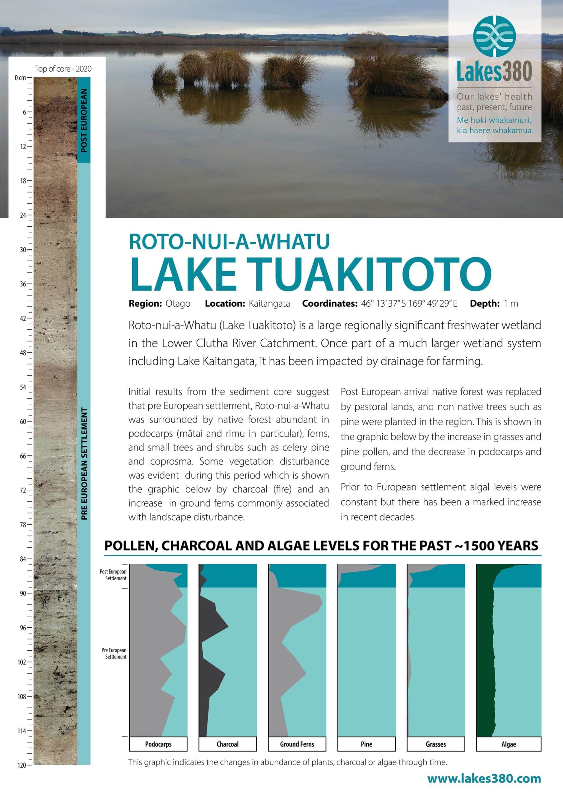
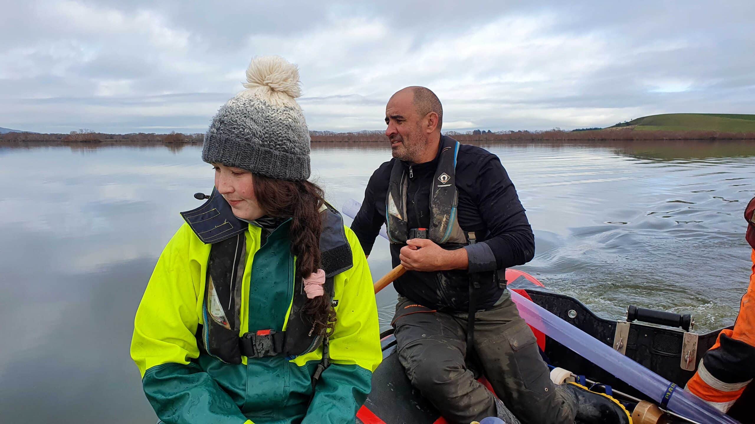
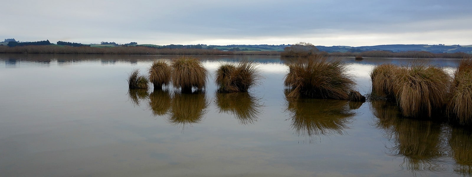
Roto-nui-a-Whatu (Lake Tuakitoto) is a large regionally significant freshwater wetland situated in the Lower Clutha River Catchment in South Otago. Lake Tuakitoto is a remnant of a very much larger wetland system which included Lake Kaitangata. Drainage work carried out in the past has allowed farming to establish around Lake Tuakitoto, on what was once part of the wetland complex. Lovells Creek is the main inflow to the Lake, and there are many other small streams in the catchment. Single-channel lowland streams flow into the lake which is the only large humic lake on the East Coast of the South Island and the only major wetland remaining in the Lower Clutha catchment. Lake Tuakitoto has likely undergone progressive eutrophication since catchment development and intensification began. It can currently be classified as being in a eutrophic state (www.lawa.org.nz).


