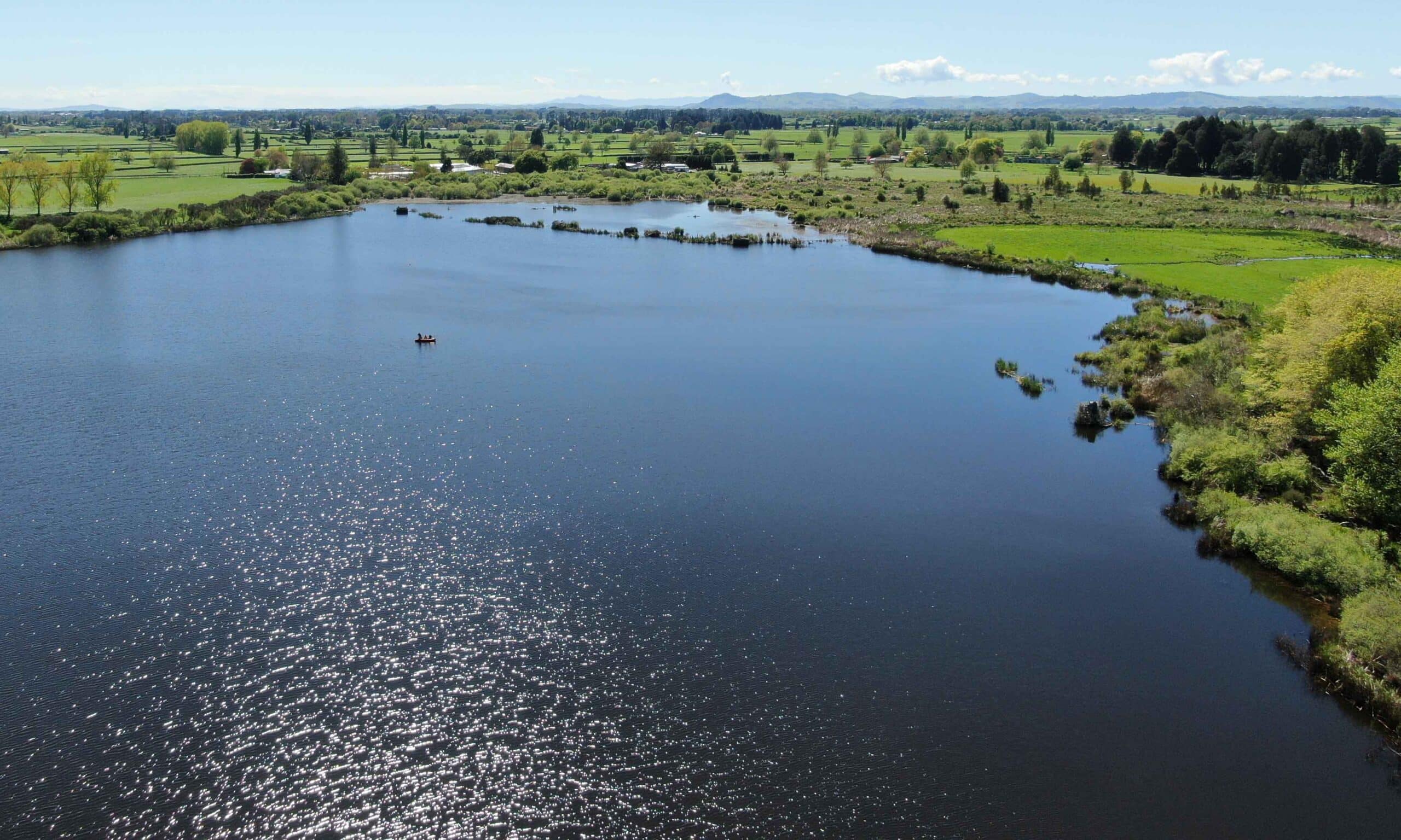
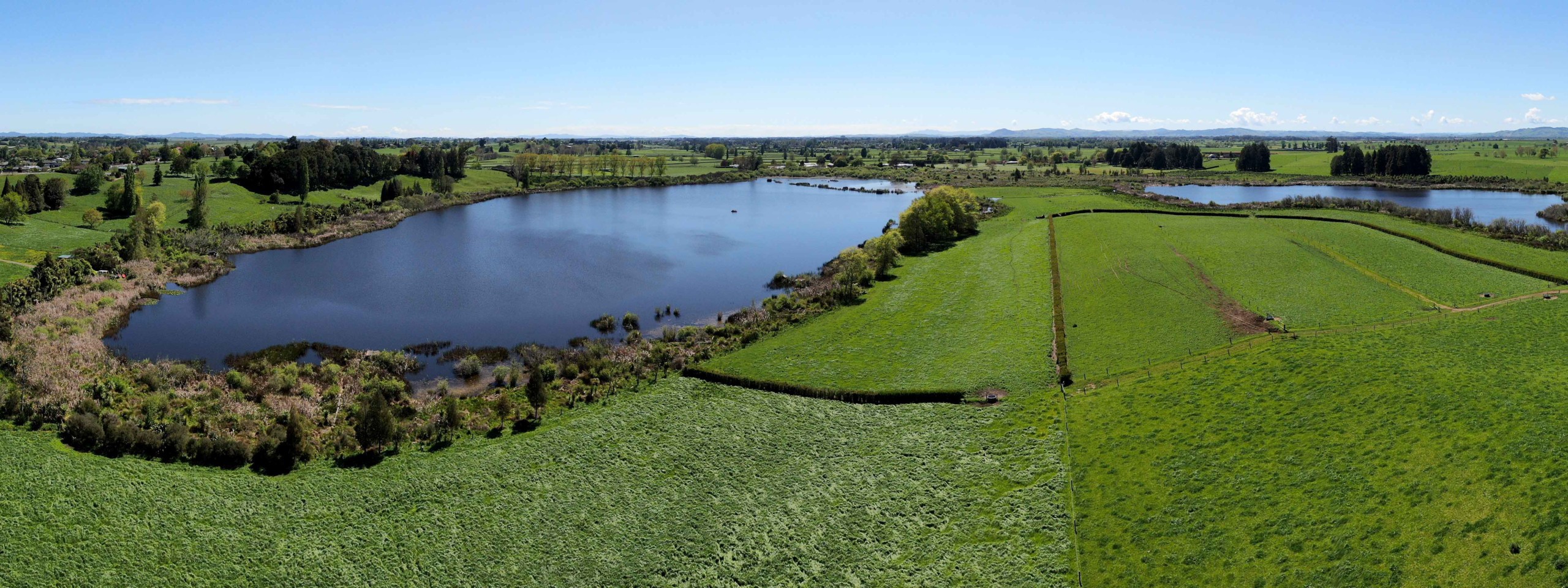
The Rotomānuka Lakes are peat lakes situated in the Waipā District of the Waikato, 12 kilometres north of Te Awamutu. The Rotomānuka Lakes are made up of two open water areas – Rotomānuka North and Rotomānuka South, which are remnants of a once larger single lake. This splitting of the lake is due to historic drainage, diversion of water from the Lake Rotopiko and lowering of an outlet channel. The two lakes remain linked by 10 hectares of marginal wetland that formed following the lowering of the lake (www.waikatoregion.govt.nz). They are also linked hydrologically to the Rotopiko Lakes complex and drain into the Waikato River via Mystery Creek (www.landcare.org.nz).
The Rotomānuka catchment is pastoral, surrounded on all sides by intensive dairy farming. Water monitoring shows that the water quality of the lake is degrading over time (www.waikatoregion.govt.nz).
Main image by David G. Schmale III, Virginia Tech, https://www.schmalelab.spes.vt.edu/


