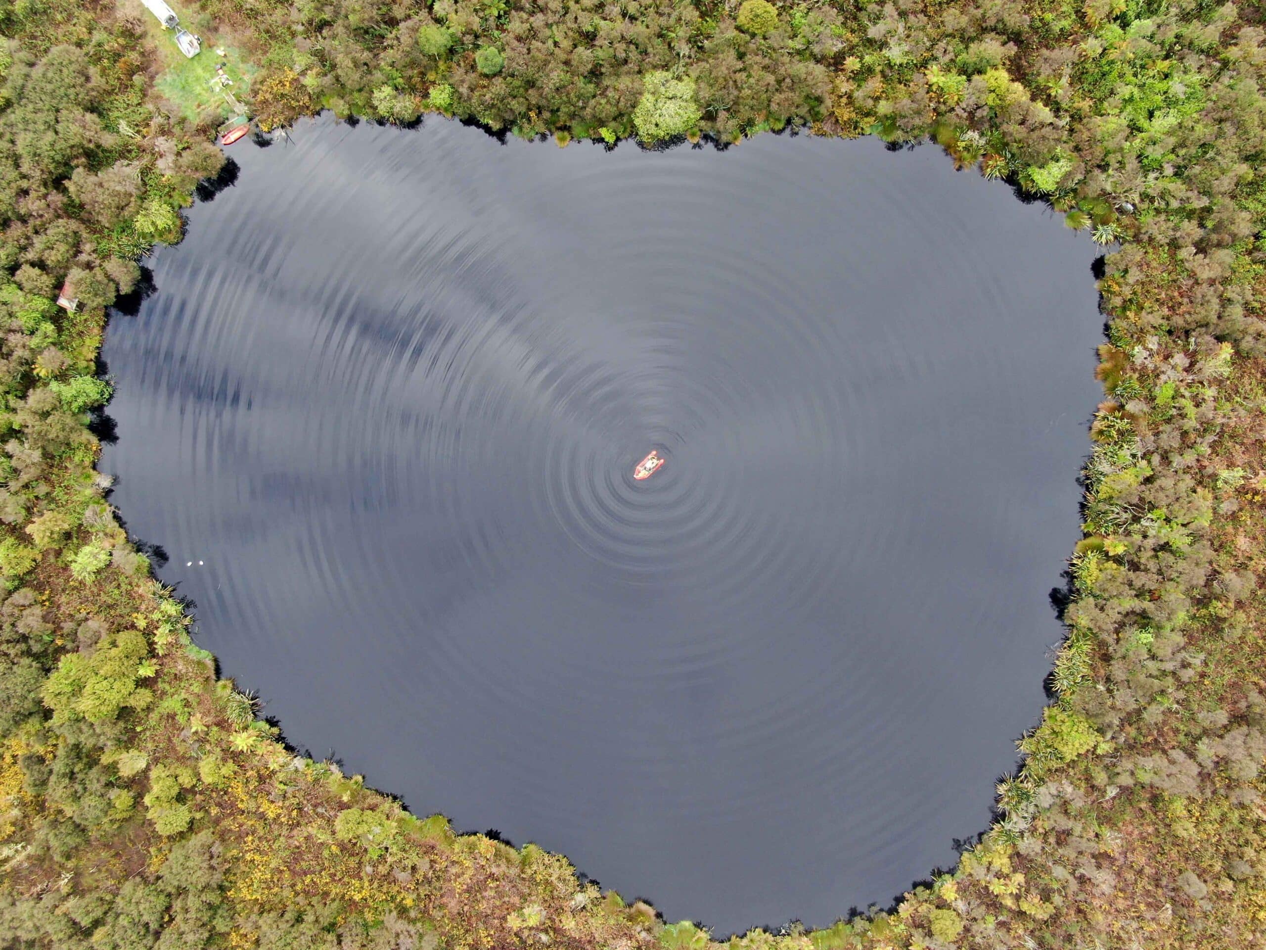
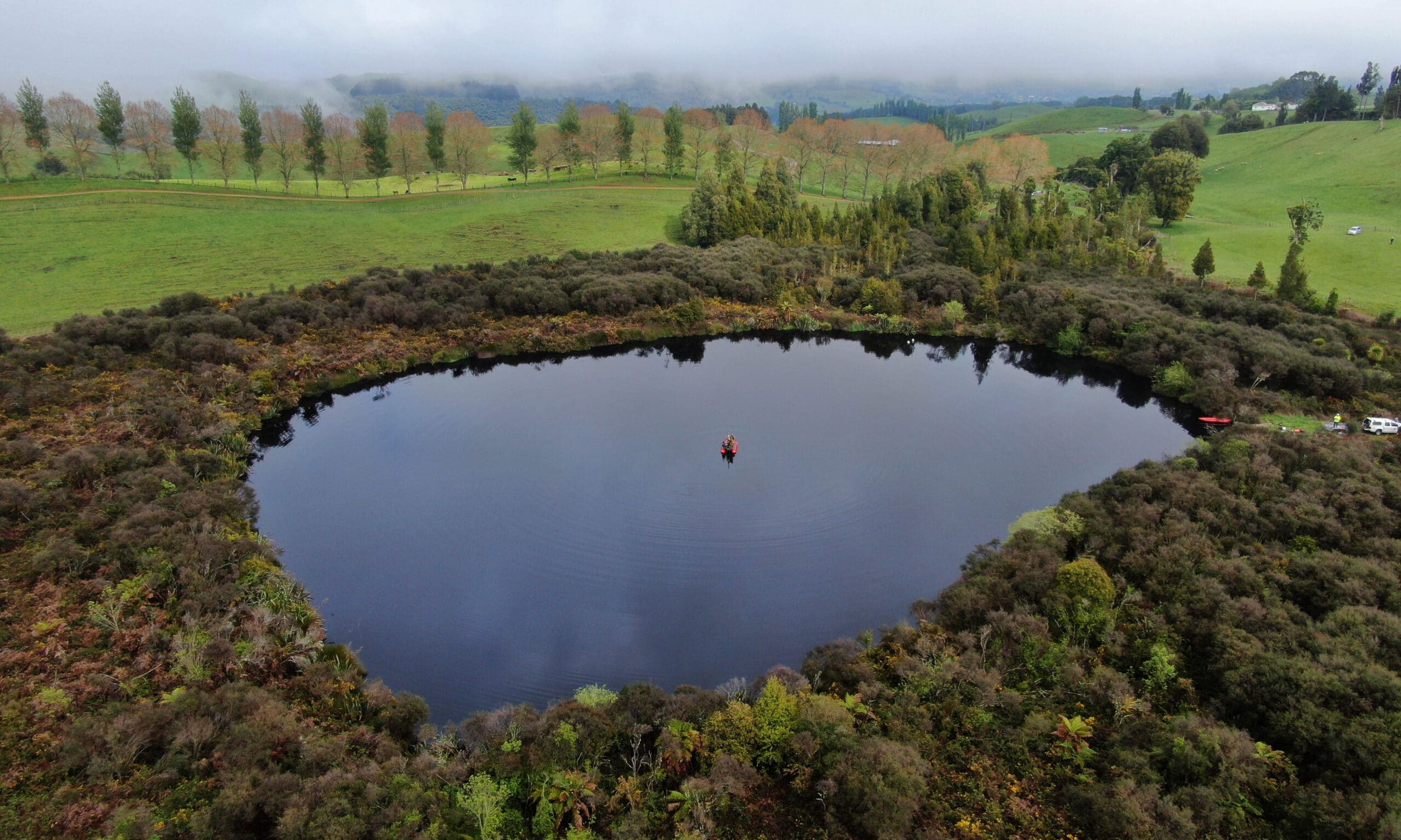
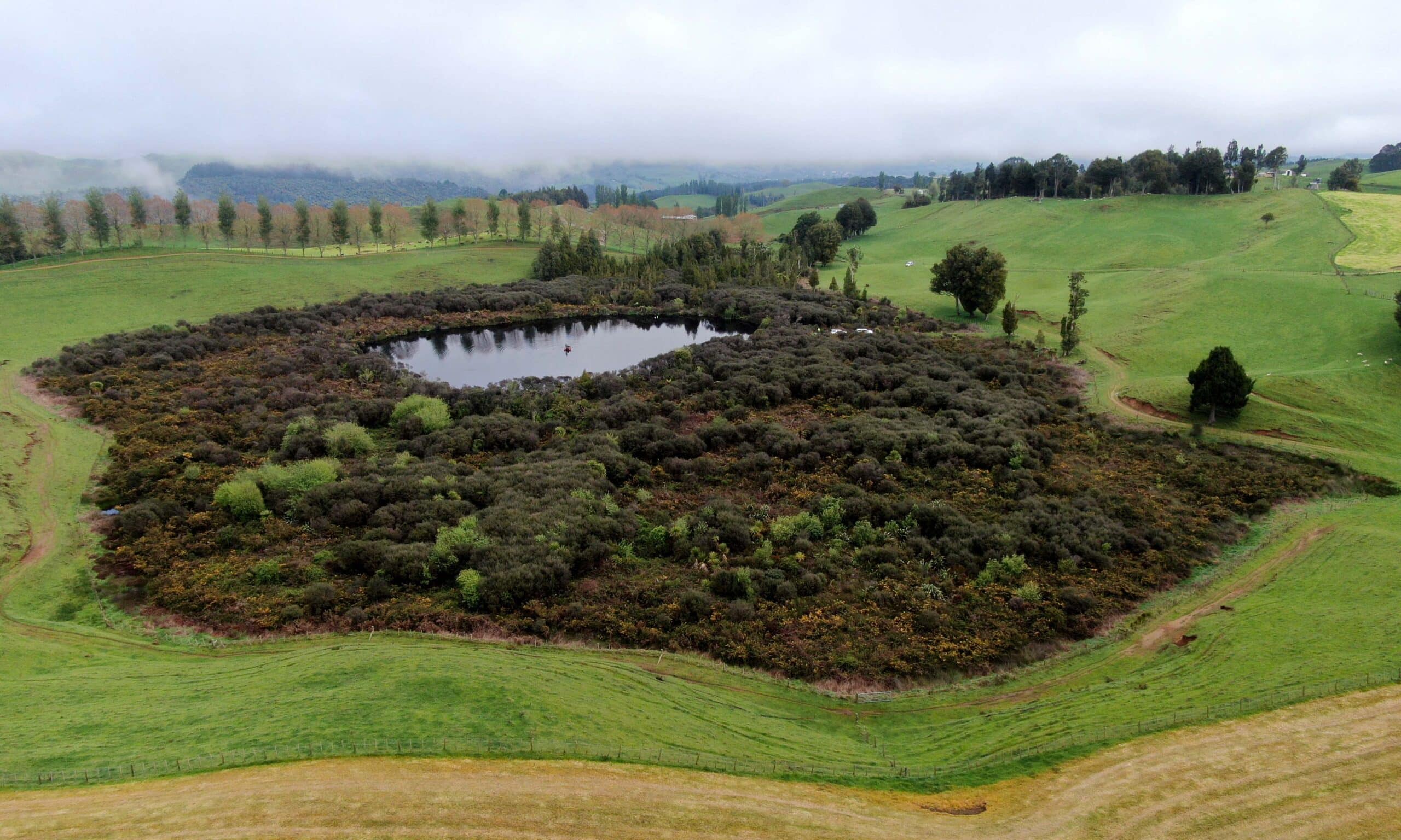
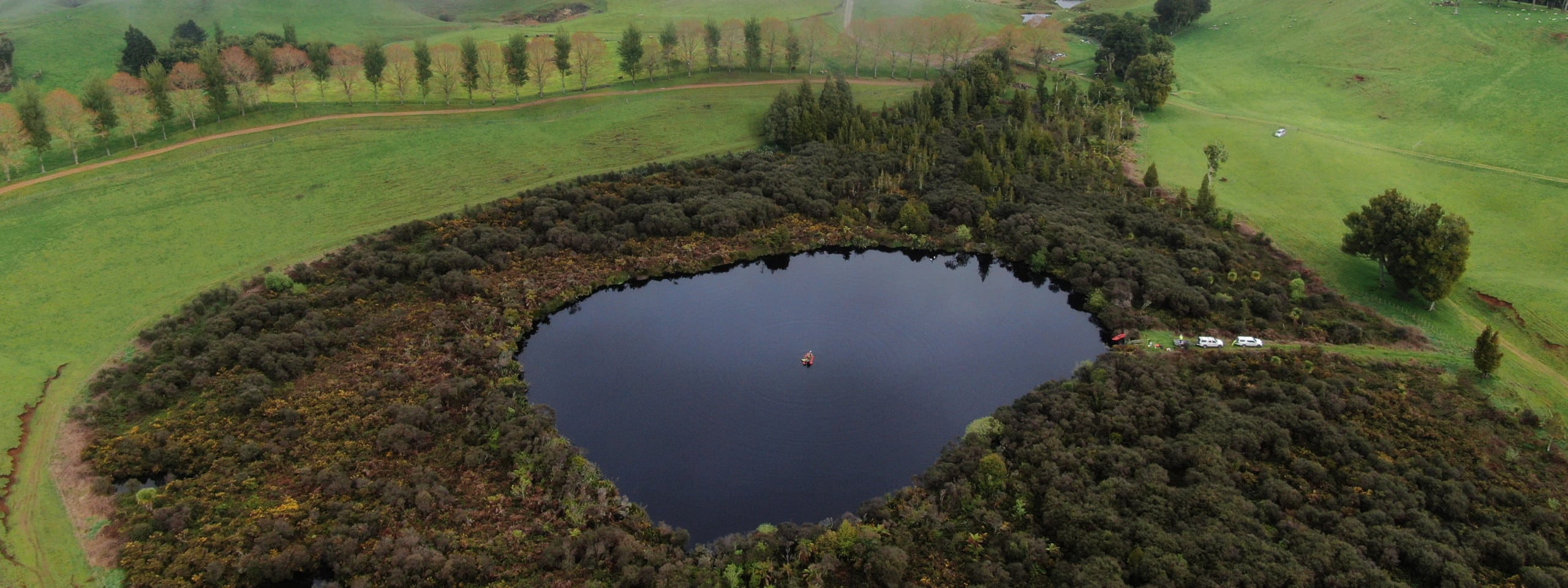
Kotukutuku (Lake Rotokotuku) is a small peat lake located approximately five kilometers southeast of Te Kuiti in the Waitomo district. The lake and surrounding wetland are associated with peat soils within a karst catchment.
The wetlands are fed via groundwater, rain, and surface runoff during high rainfall events but there are no streams or drains entering the system. The outlet stream flows for approximately 530m to the northwest before entering a tomo. The lake has brown peat stained waters, and supports very little plant life, due to the naturally acidic (pH 5.2) water. It also has elevated nutrient levels. The lake is rich in invertebrates, and shortfin eels are present (www.https://www.waikatocivildefence.govt.nz/).
Main image by David G. Schmale III, Virginia Tech, https://www.schmalelab.spes.vt.edu/


