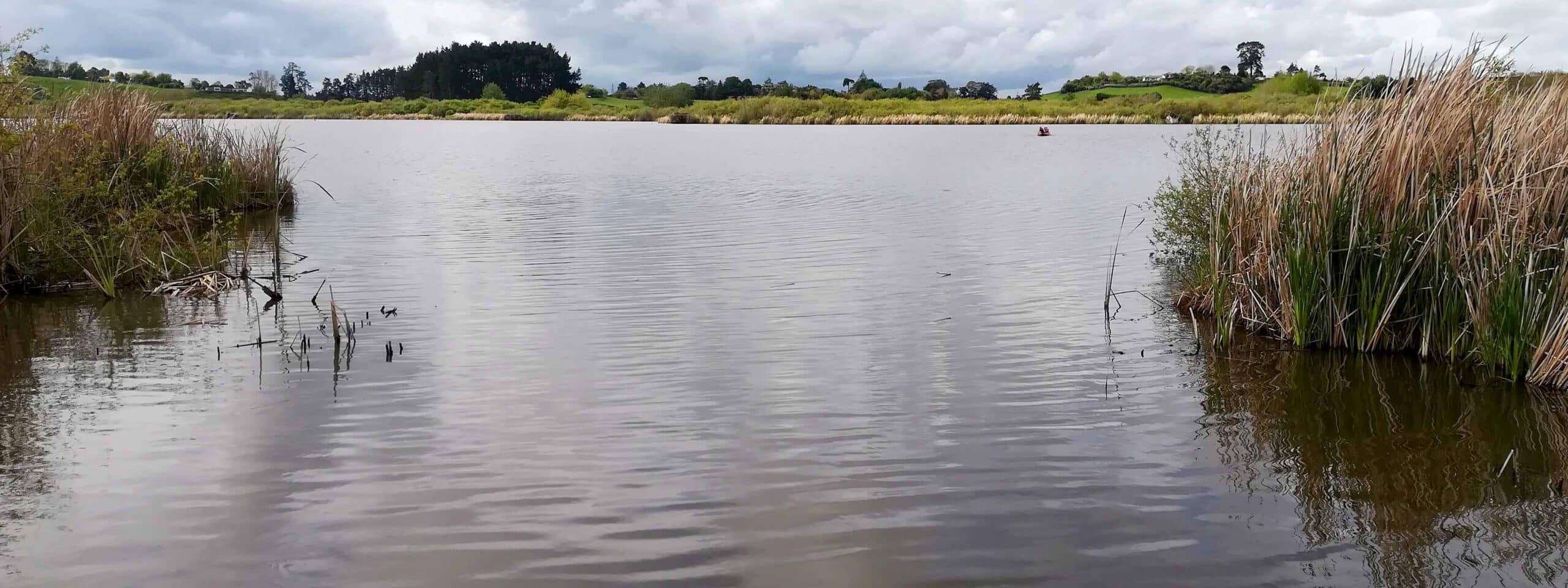
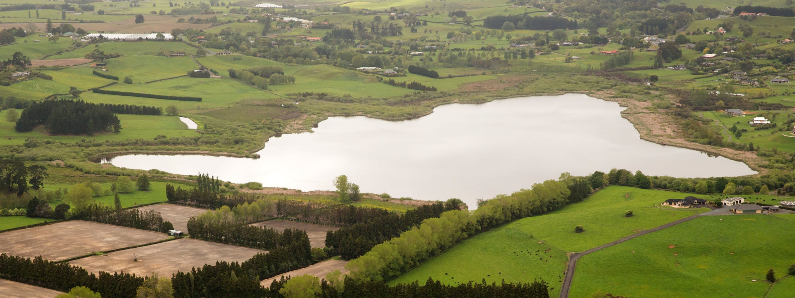
Lake Rotokauri is located seven kilometres north-west of Hamilton city. It has a surface area of 77 hectares and a maximum depth of four metres. It is a peat lake and is part of the Waipa peat lake complex. The catchment area surrounding the lake is a mixture of residential, industrial and pastoral. Lake Rotokauri drains to the Waipa River through the Ohote Stream. A weir at the outlet controls the lake level. Water quality declined significantly during the 1990s, probably due to large numbers of submerged aquatic plants dying off. Work is now being done within the catchment to improve water quality for the future (www.waikatoregion.govt.nz).
Main image (above) by Waikato Regional Council.


