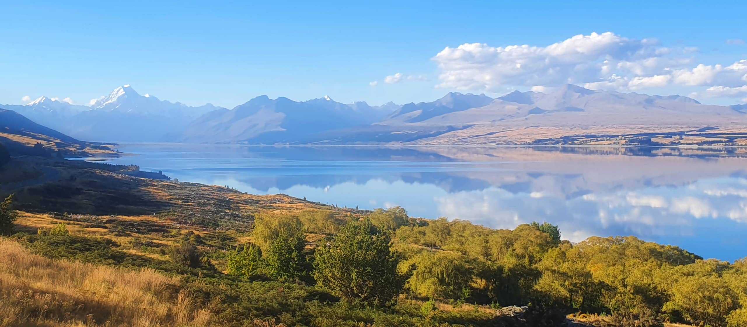
Lake Pukaki is a large glacial fed lake located between Tekapo and Twizel. Aoraki / Mount Cook towers above the northern end of the lake and on a clear day can be seen 70 kilometres away from the southern shore of the lake.
Lake Pukaki formed when the terminal moraines of receding glaciers blocked the valley, forming a moraine-dammed lake. The lake has very good water quality, with it’s distinctive blue colour coming from extremely finely ground rock particles from the glacier, known as glacial flour (https://en.wikipedia.org/). The lake is a reservoir for hydro electric generation (www.lawa.org.nz).
Lake Pūkaki was a kāinga nohoanga (food-gathering settlement) for Ngāi Tahu. Records show weka, pūtakitaki (paradise duck), aruhe (bracken fernroot), and tuna (eels) were gathered here (https://www.kahurumanu.co.nz/atlas).

Lake Pukaki
Depth:
70 metres
Area:
17274 hectares
Lake ID:
15940
Main vegetation type:
South of Aoraki / Mt Cook Village
44° 4' 24" S
170° 10' 11" E

Highland
Iwi / representative groups:
- Ngāi Tahu
- Te Rūnanga o Arowhenua
- Te Rūnanga o Moeraki
