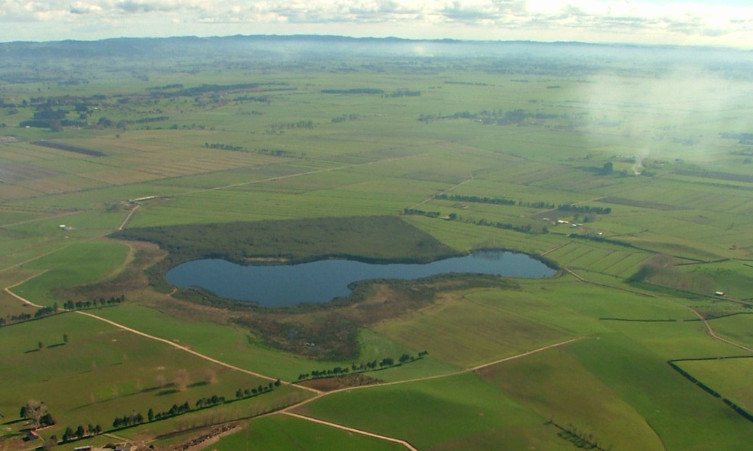
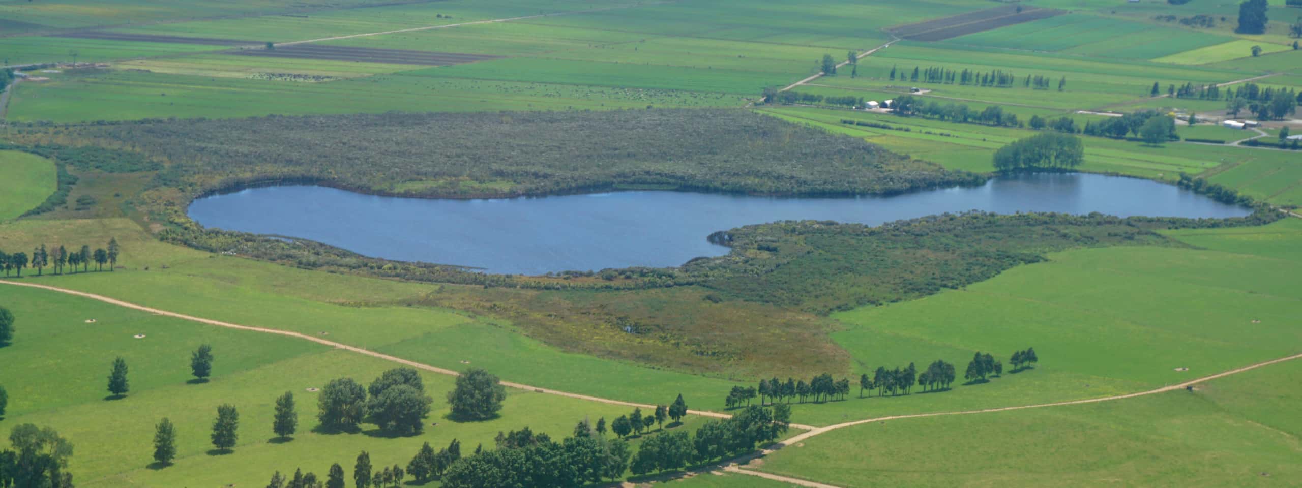
Lake Maratoto is a 16 ha peat lake located 10 km south of Hamilton City. It drains to Mystery Creek, a tributary of the Waikato River. The lake and adjacent wetlands have a LENZ ranking of Acutely Threatened and Underprotected. They lie on the eastern side of the Rukuhia ‘Swamp’, a 6000ha raised bog that has been extensively drained and developed for agriculture. The lake is the deepest and least modified of the 17 Waipa District peat lakes and is the only Waipa peat lake with water that has a pH lower than 7. Protecting and enhancing the water quality of the lake is important for the health and wellbeing of the adjacent wetlands and the wider Waikato River catchment. In contrast to other Waikato peat lakes, much of this immediate catchment is still covered in native peatland vegetation, scrub and shrubland. It has the largest area of associated wetland of any of the Waikato peat lakes. 46 ha of lake and surrounding wetland vegetation have been legally protected by a QEII National Trust Open Space Covenant since 1983. The Lake Maratoto Restoration Project is restoring vegetation on the western lake edge which was destroyed by fire (www.waikatoregion.govt.nz).
Main image source: DJ Lowe


