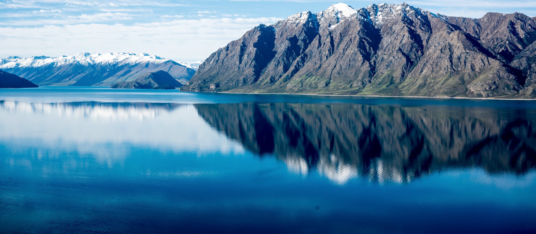
Lake Hāwea stretches 35 kilometres from north to south. It lies in a glacial valley formed during the last ice age, and is fed by the Hunter River. Nearby Lake Wānaka lies in a parallel glacial valley eight kilometres to the west. At their closest point, a rocky ridge called The Neck, the lakes are only 1000 metres apart.
Lake Hāwea is dammed to the south by an ancient terminal moraine created some 10,000 years ago. In 1958 the lake was artificially raised 20 metres to store more water for increased hydroelectric power generation at the Roxburgh Dam. The only flat land around the lake is at its southern end, surrounding its outflow into the Hāwea River, a short tributary of the Clutha / Matau-au. The settlement of Lake Hāwea is found at the lake’s southern shore (https://en.wikipedia.org).
Lake Hāwea was named after Kāti Hāwea, one of the earliest iwi (Māori tribe) to occupy Te Waipounamu (South Island New Zealand) before the southern migrations of Kāti Māmoe and Ngāi Tahu. Hāwea was an important component of the seasonal Ngāi Tahu food-gathering patterns, with numerous kāinga mahinga kai (food-gathering places) and kāinga nohoanga (settlements) situated around the lake. Foods gathered at Hāwea included kea, kererū, kākā, kiwi, kākāpō, tūī, weka, pūtakitaki (paradise duck), pārera (duck sp.), tuna (eel), kāuru (cabbage tree root), aruhe (bracken fernroot), and pora (‘Māori turnips’). The artificial raising of Lake Hāwea in 1958 to store water for hydroelectric power generation flooded many of these kāinga mahinga kai and kāinga nohoanga, including the renowned Manuhaea kāinga near The Neck. (https://www.kahurumanu.co.nz/atlas)
For Māori, the Wānaka and Hāwea area was a natural crossroads. The Haast Pass led to the West Coast and its pounamu; the Cardrona Valley led to the natural rock bridge “Whatatorere” which was the only place that the Kawarau River and Clutha River / Mata-Au could be crossed without boats.Reed boats enabled a swift return downriver to the east coast (https://en.wikipedia.org).

Lake Hāwea
Depth:
384 metres
Area:
15177 hectares
Lake ID:
15996
Main vegetation type:
Indigenous and productive grasses
East of Lake Wānaka
44° 28' 24" S
169° 17' 35" E

Highland
Iwi / representative groups:
- Ngāi Tahu
- Hokonui Rūnanga
- Kāti Huirapa ki Puketeraki
- Te Rūnanga o Awarua
- Te Rūnanga o Moeraki
- Te Rūnanga o Ōraka Aparima
- Te Rūnanga o Ōtākou
- Waihōpai Rūnanga
