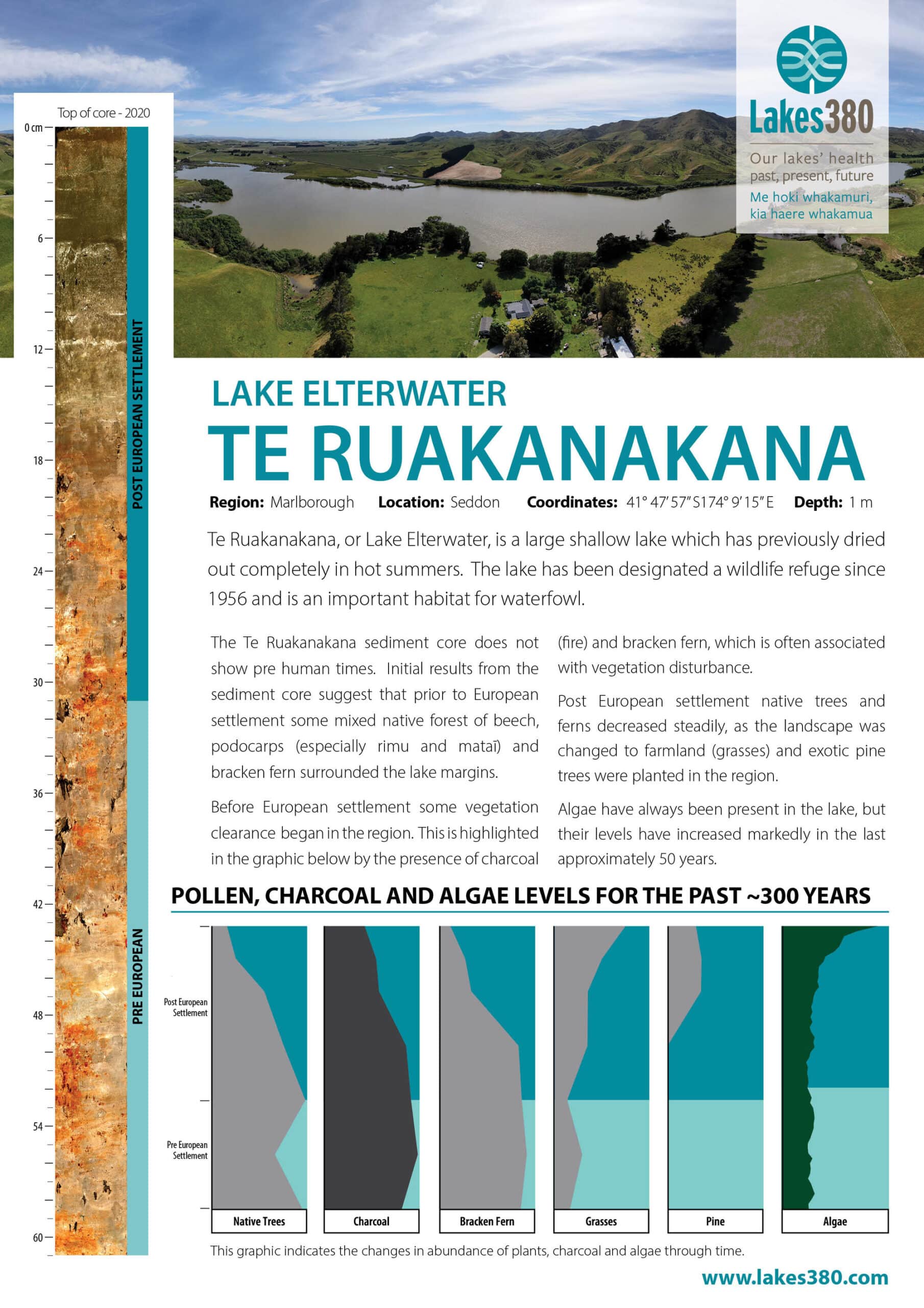
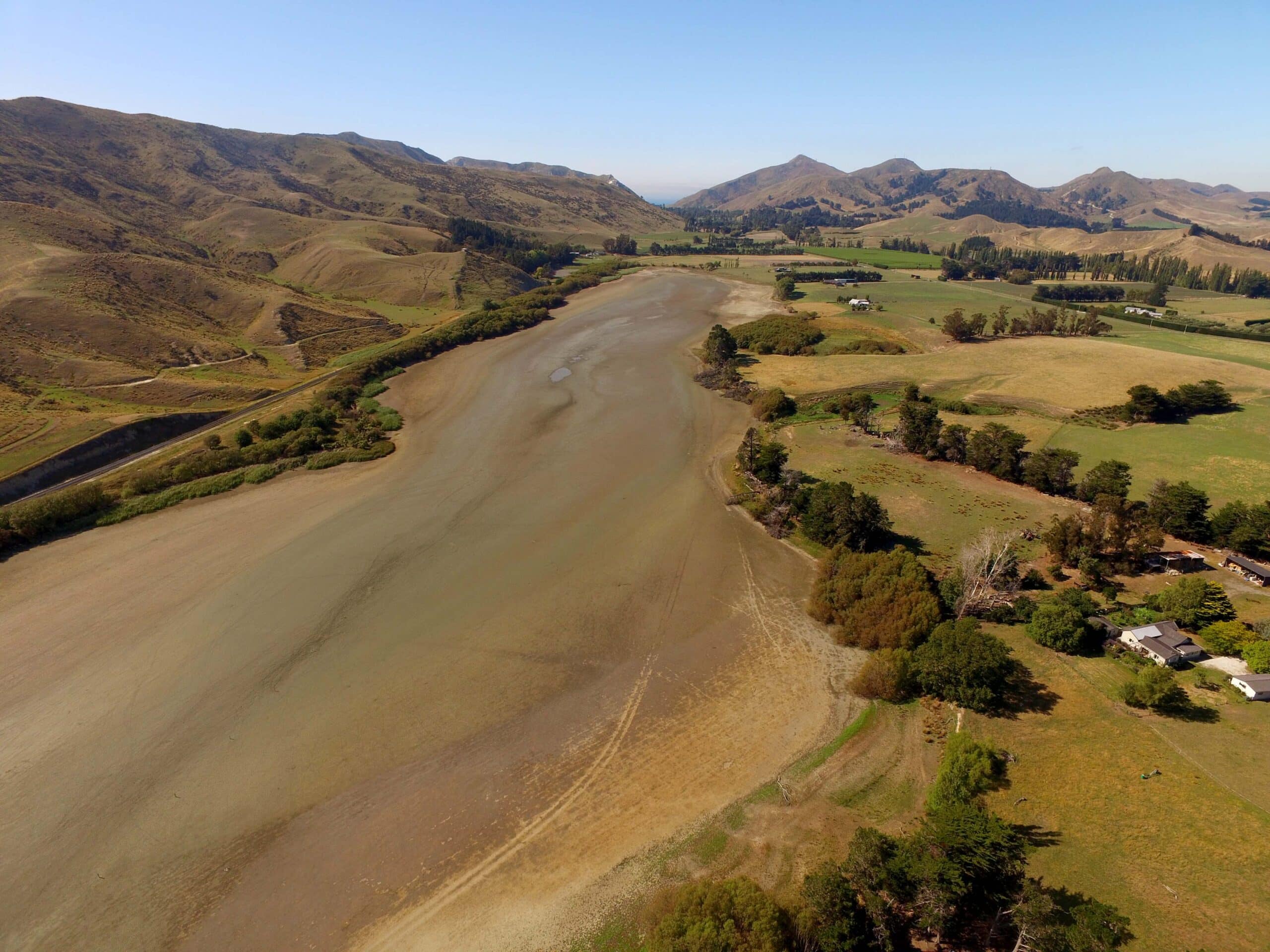
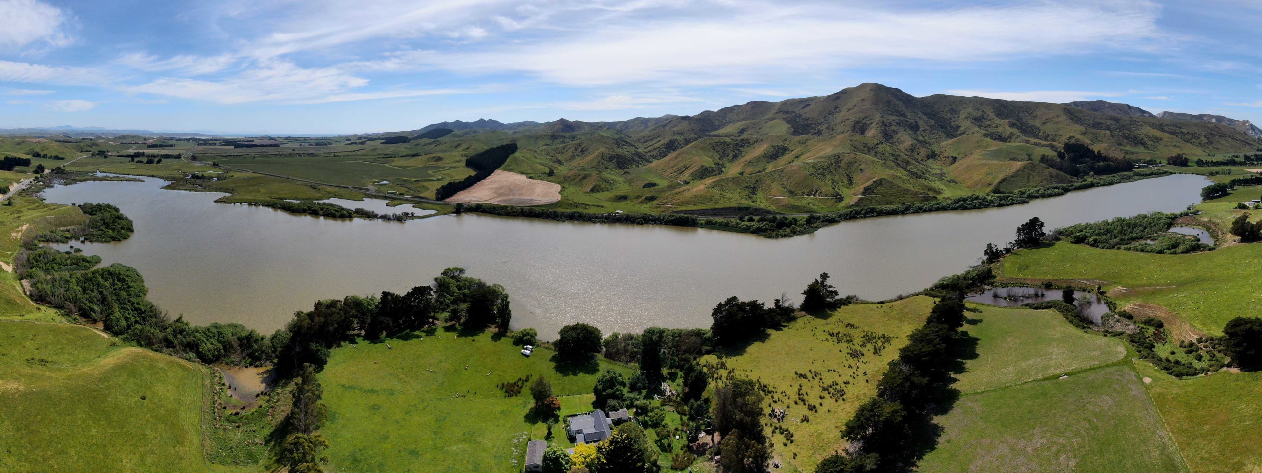
The traditional Māori name for Lake Elterwater is Te Ruakanakana. The lake is situated 35km south east of Blenheim, adjacent to State Highway 1. Low hills to the east separate it from the sea, 5km away. The lake is located in a catchment with low rainfall, dry springs and summers, strong winds and moderate winter temperatures. The lake is of substantial size but very shallow, with no permanent inflow and outflow. The lakes has dried up 10 times in the last 100 years.
It is the second largest freshwater lake in the Marlborough District by surface area (third largest by volume), and the fourth largest wetland. It is an important areas for wildlife and has ephemeral edge communities. The predominant land use of the catchment is pastoral farming, with some small areas of grapes. The lake is part of the catchment of the Flaxbourne River (www.marlborough.govt.nz).
Main image (above) by David G. Schmale III, Virginia Tech, https://www.schmalelab.spes.vt.edu/


