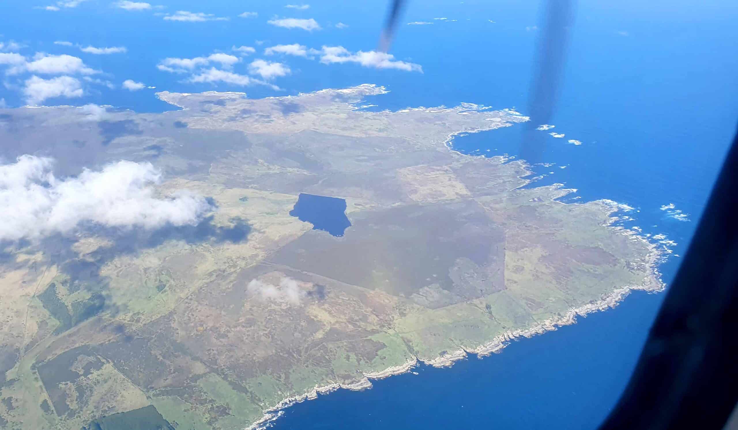
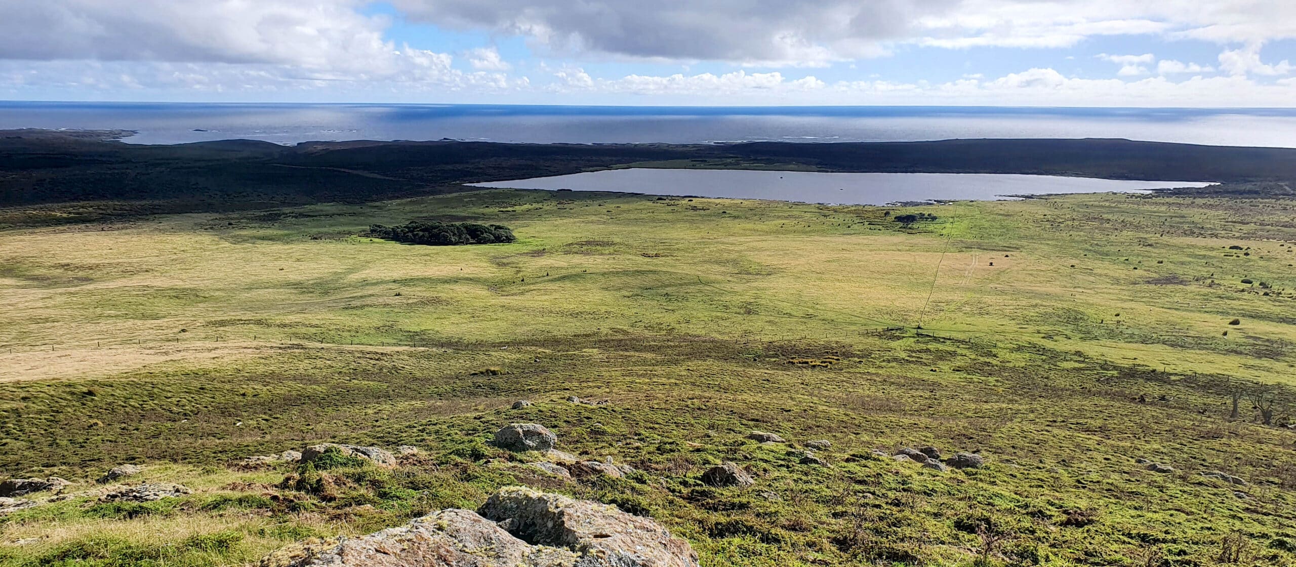
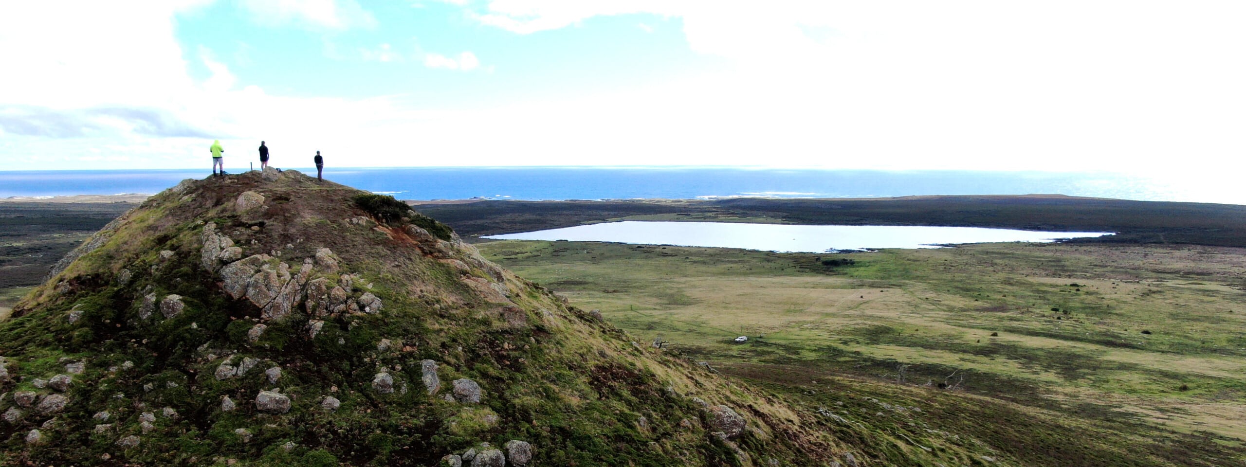
Lake by Tangoio Creek

Depth:
1 metres
Area:
26 hectares
Lake ID:
14856
Main vegetation type:
Low Producing Grasslands
Chatham Islands
43° 48' 23" S
176° 50' 52" W
Lowland

Iwi / representative groups:

  • Hokotehi Moriori Trust
    • Ngāti Mutunga o Wharekauri Trust

      Description

      The unnamed shallow, tannin stained peat lake close to Tangoio Creek drains east, via Tangoio Creek, to the coast. It is located on the western end of Chathams Island’s north western arm.

      Main image byDavid G. Schmale III, Virginia Tech, https://www.schmalelab.spes.vt.edu/
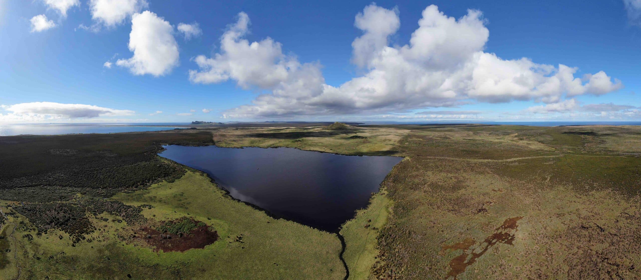
      Image – David G. Schmale III, Virginia Tech, https://www.schmalelab.spes.vt.edu/