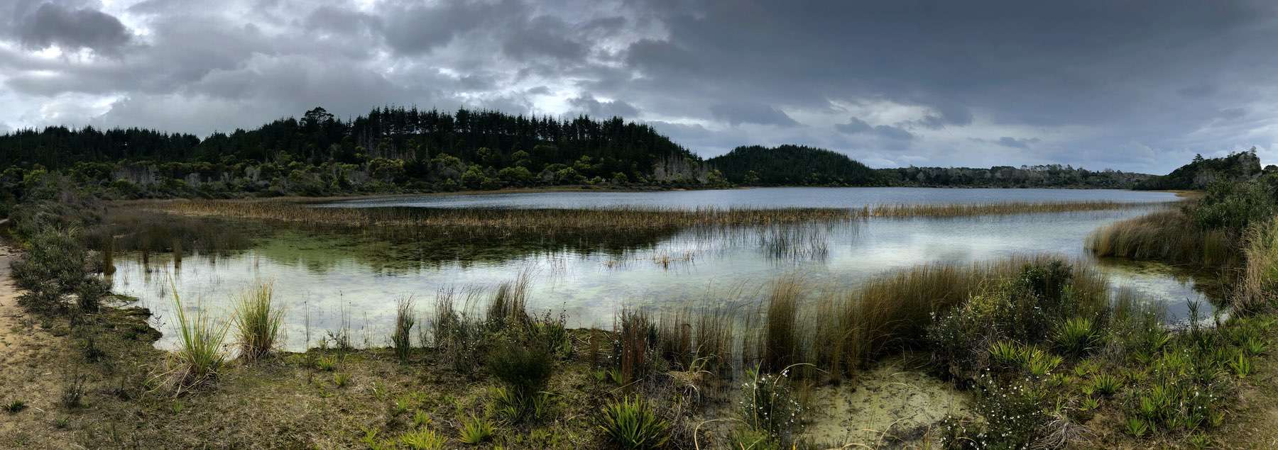
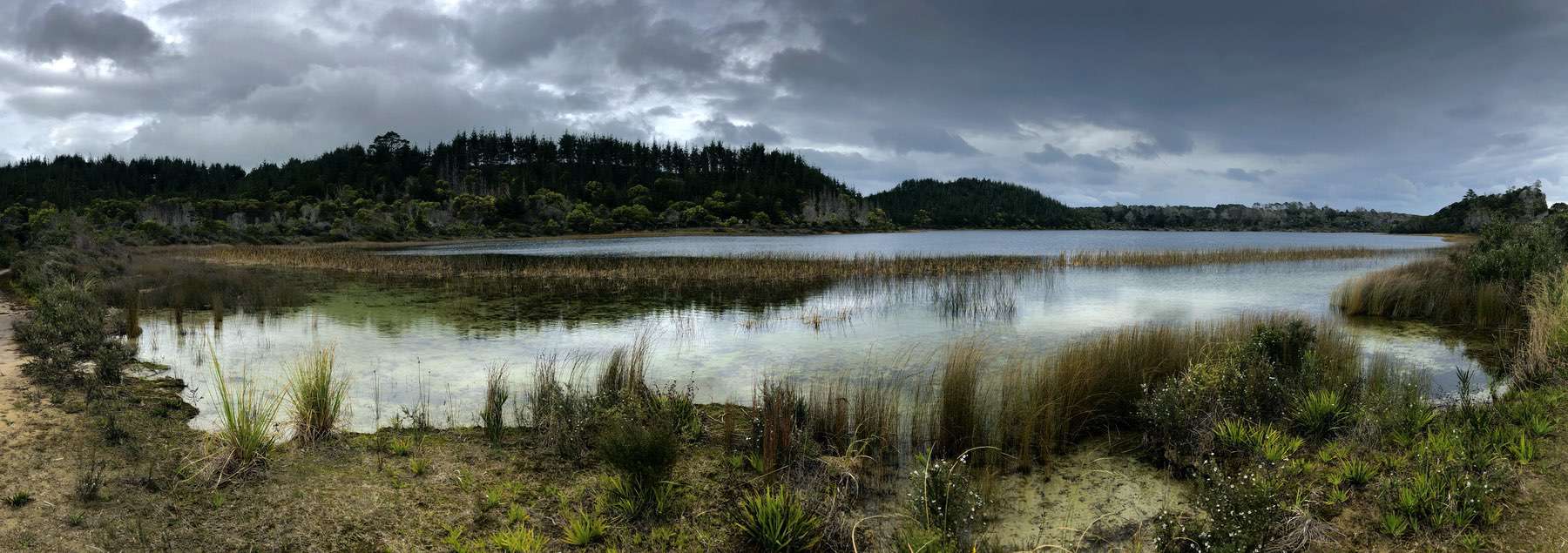
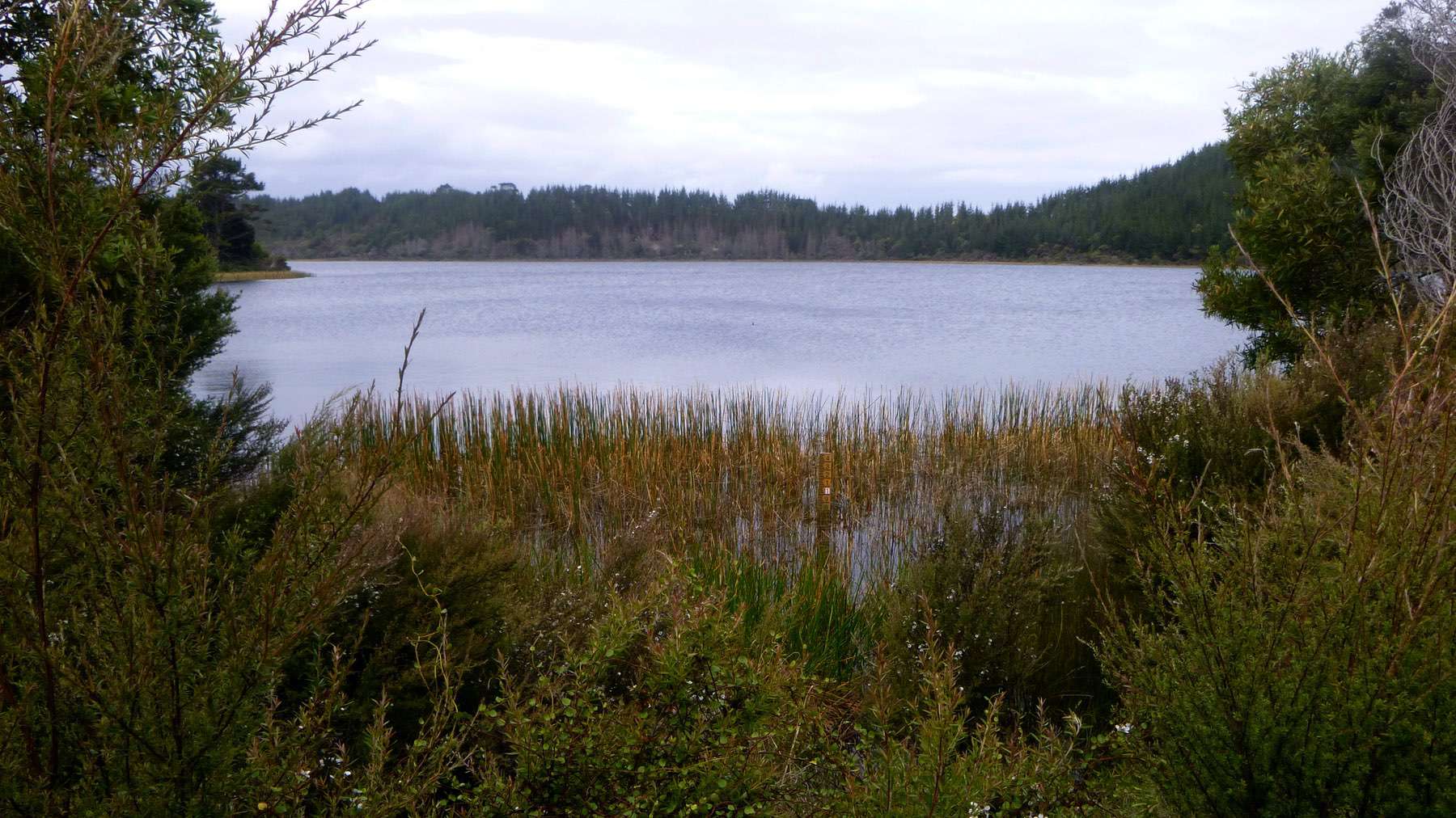
Lake Kai Iwi is 27.6 hectares in area with a maximum depth of 15.7 m. It is the smallest of the Kai Iwi lake group. The lake margin is bordered by scrub, with recently felled pine plantation in its upper catchment. There is a small stream that flows into Lake Kai Iwi on the southern side of the lake which drains farmland in the catchment above the lake. There is also a drain that flows from Lake Kai Iwi into Lake Taharoa during higher lake levels (source www.lawa.co.nz).

Lake Kai-iwi
Depth:
15 metres
Area:
26.8 hectares
Lake ID:
4297
Main vegetation type:
High Productivity Grassland
Dargaville
35° 48' 56" S
173° 39' 13" E

Lowland
Iwi / representative groups:
- Ngāti Whātua
- Te Roroa


