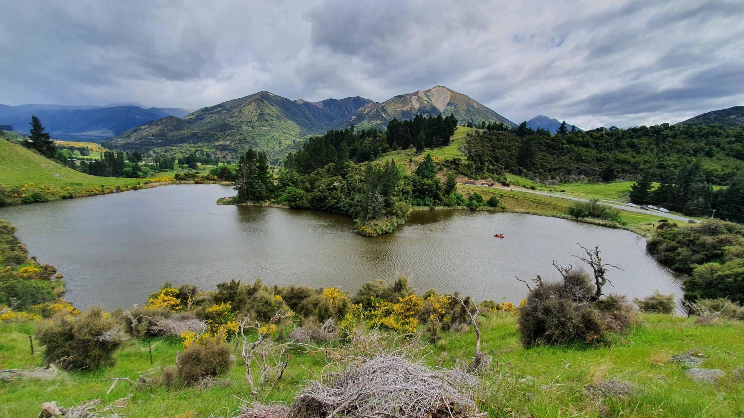
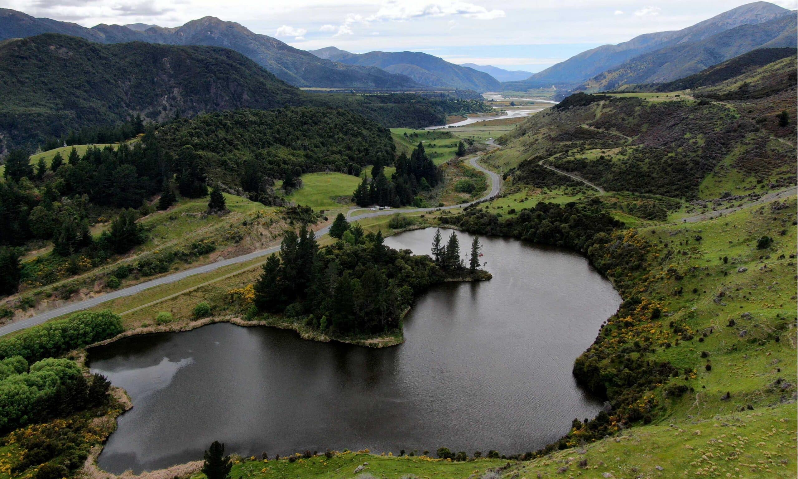
Horseshoe Lake in the Lewis Pass sits just to the south of the Hope River, close to where it joins the Waiau River. It sits south west of Hamner Springs along State Highway 7.


Horseshoe Lake in the Lewis Pass sits just to the south of the Hope River, close to where it joins the Waiau River. It sits south west of Hamner Springs along State Highway 7.


