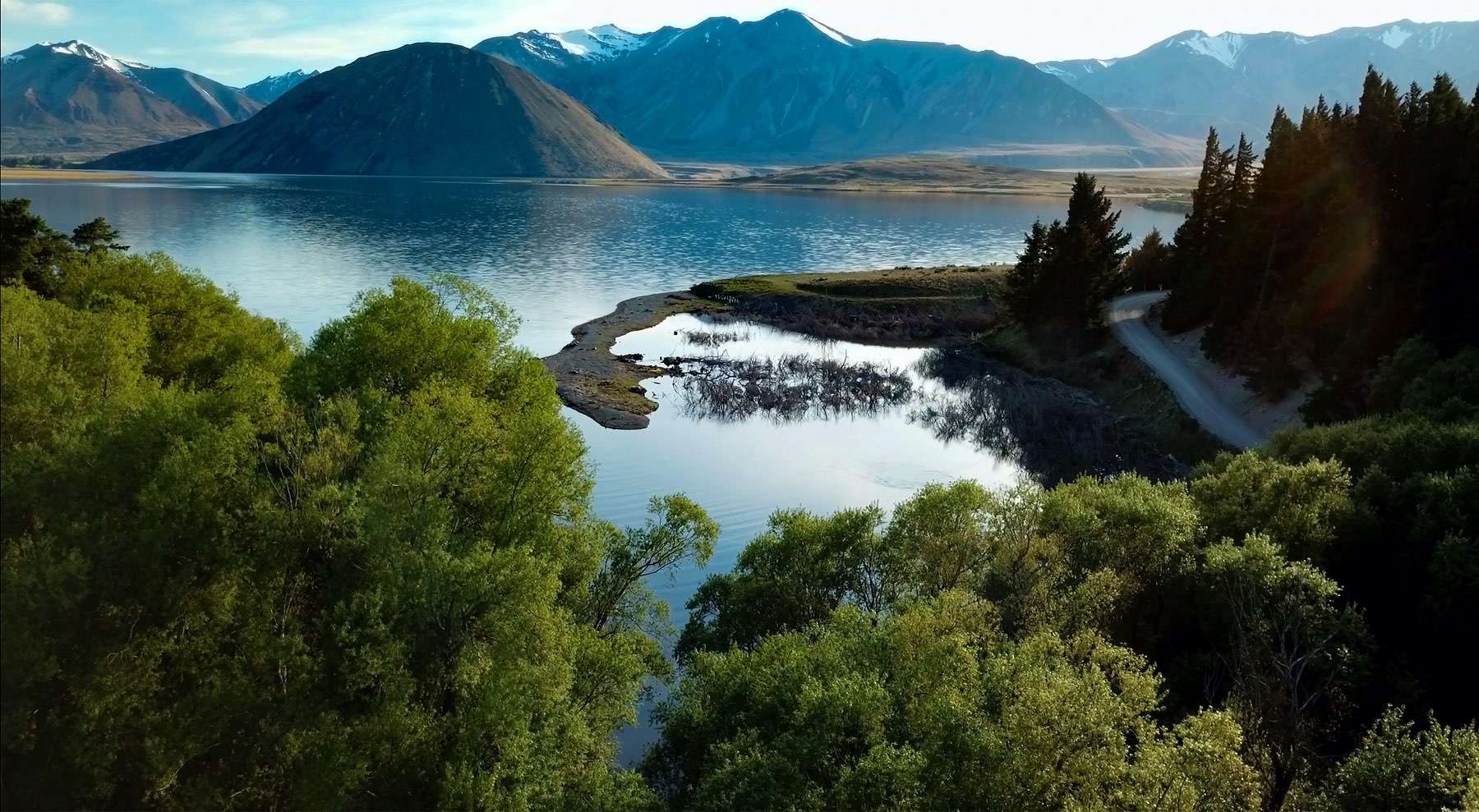
Lake Heron / Ōtūroto

Depth:
37 metres
Area:
694.5 hectares
Lake ID:
4985
Main vegetation type:
Low Productivity Grassland
Ashburton
43° 29' 16" S
171° 9' 58" E
Highland

Iwi / representative groups:

  • Ngāi Tahu
    • Te Ngāi Tūāhuriri Rūnanga
    • Te Rūnanga o Arowhenua

Description

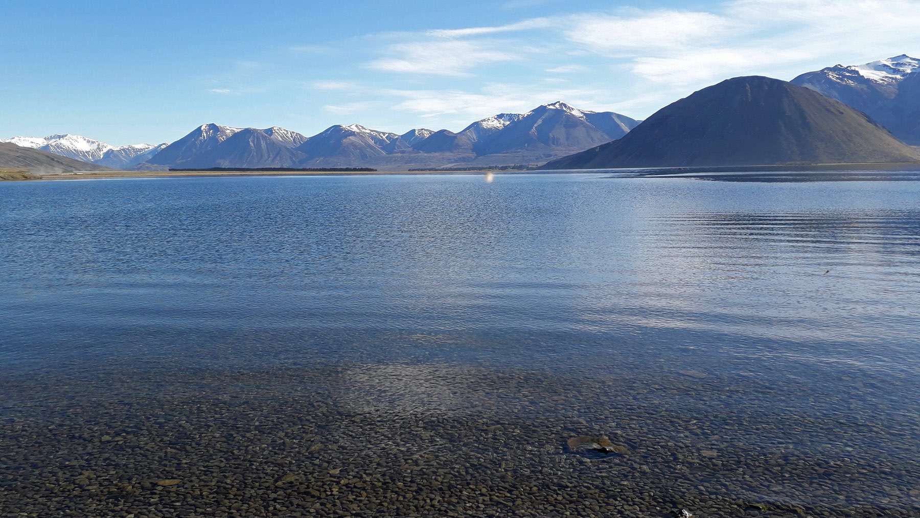
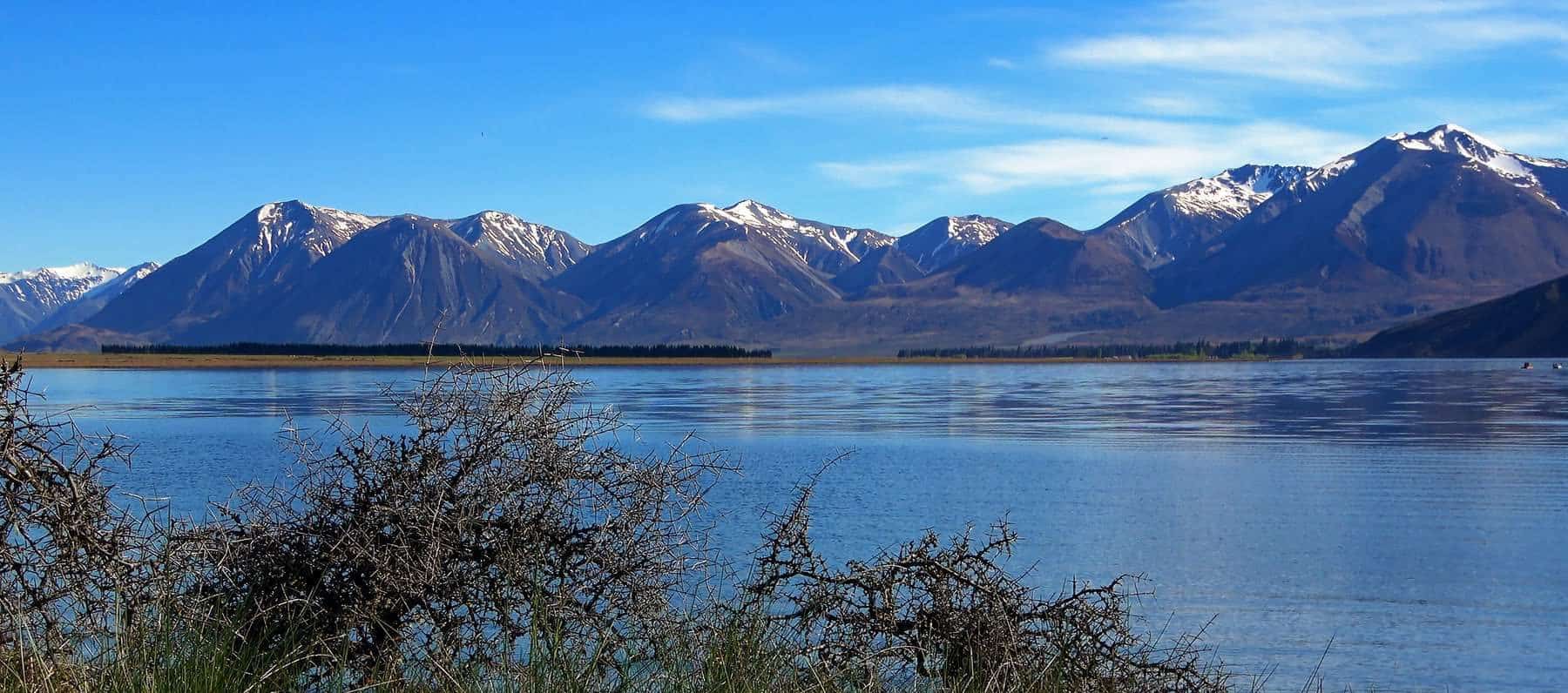
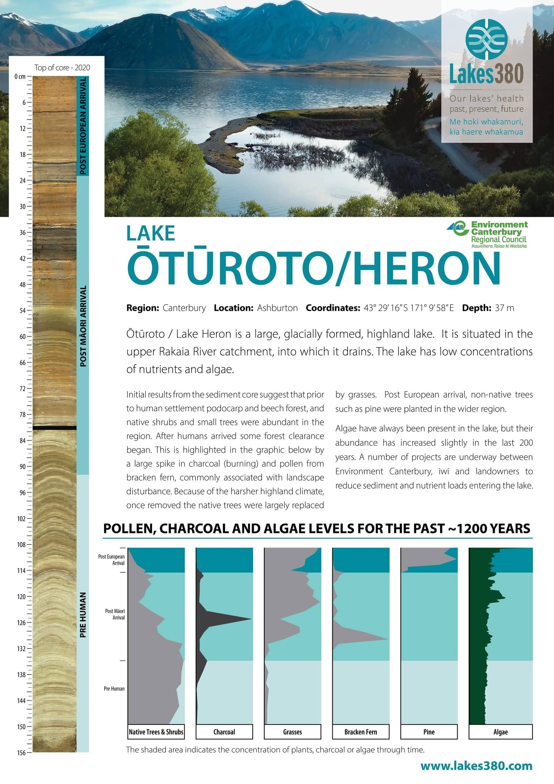
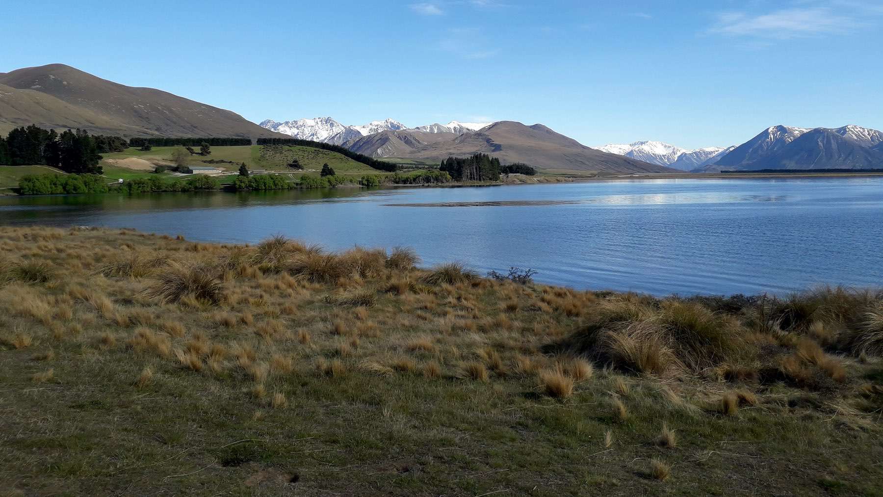
Ōtūroto (Lake Heron) is a large, glacial formed, highland lake in the upper Rakaia River catchment, covering 695 hectares in size and measuring 37 m deep at its deepest point. The lake has low concentrations of nutrients and algae and lists as mesotrophic on the Trophic Level Index measurement scale (source lawa.co.nz).

YouTube video

Download information sheet

Sediment Core