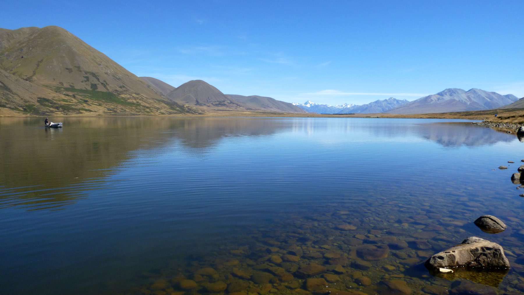
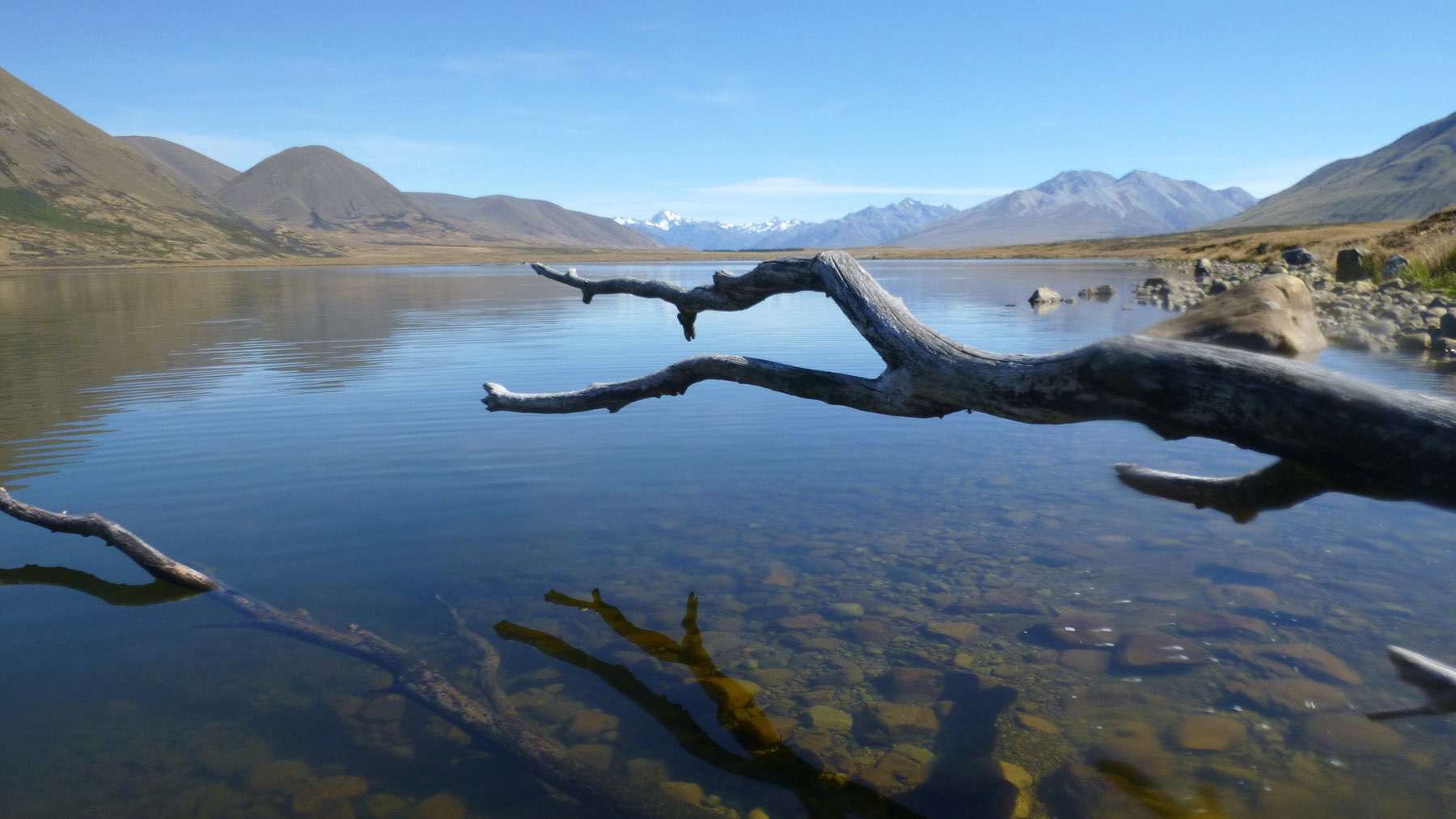
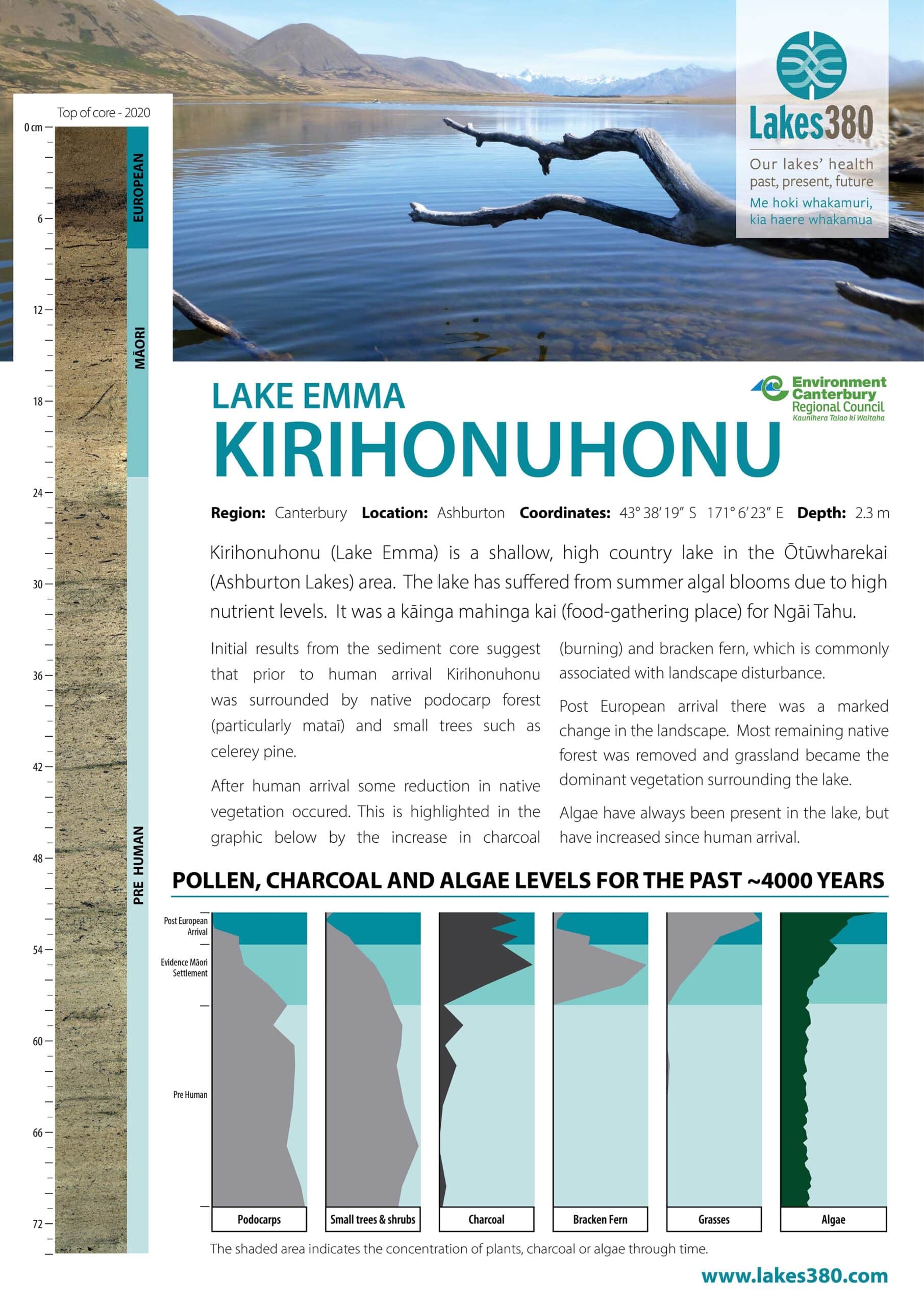
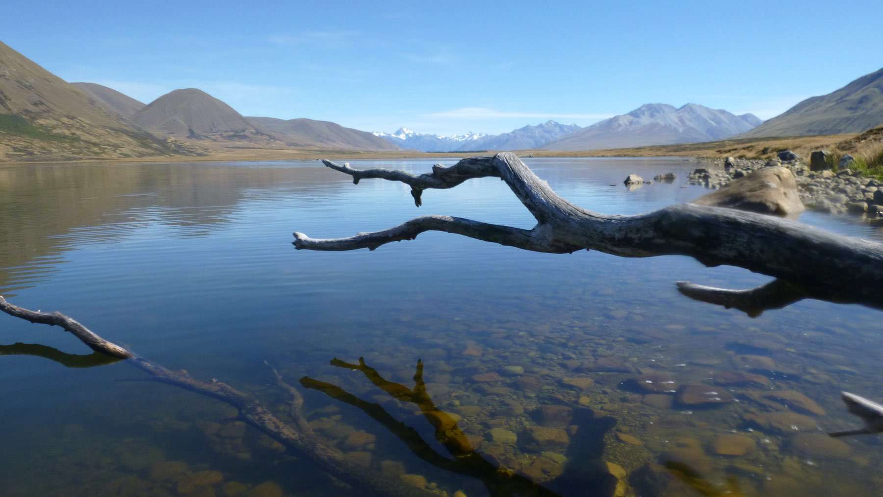
Kirihonuhonu (Lake Emma) lies between the upper reaches of the South Asburton and Rangitata rivers’, and has a maximum depth of 3 m. In summer months, the lake has been susceptible to high nutrient levels and algal biomass concentrations. However, nutrient levels and algal productivity have fallen in recent years. The lake is popular for water activities and fishing (source lawa.co.nz).
Kirihonuhonu is part of the rich high-country mahinga kai area of Ōtūwharekai (the Ashburton Lakes). The lake is kāinga mahinga kai (food-gathering place) for Ngāi Tahu where tuna (eels), aruhe (bracken fernroot), and weka were gathered (https://www.kahurumanu.co.nz/atlas).


