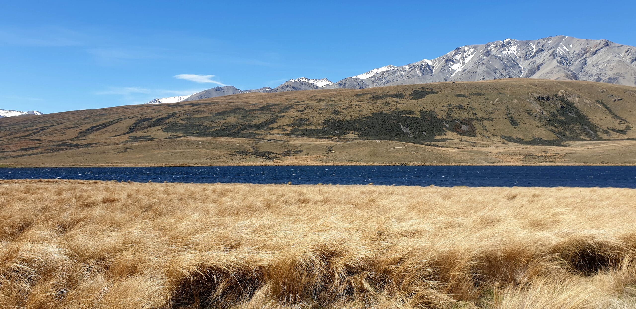
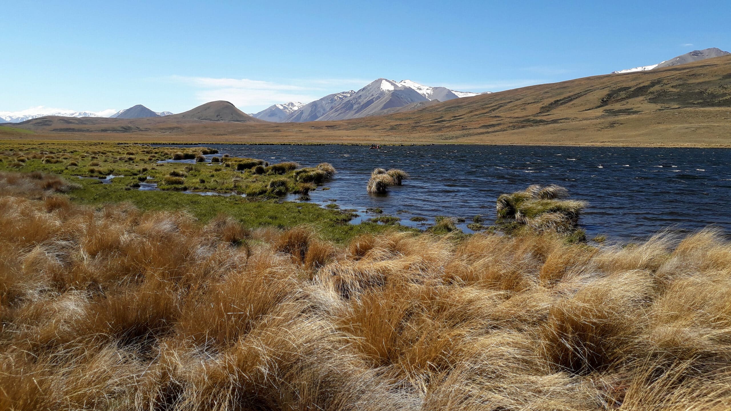
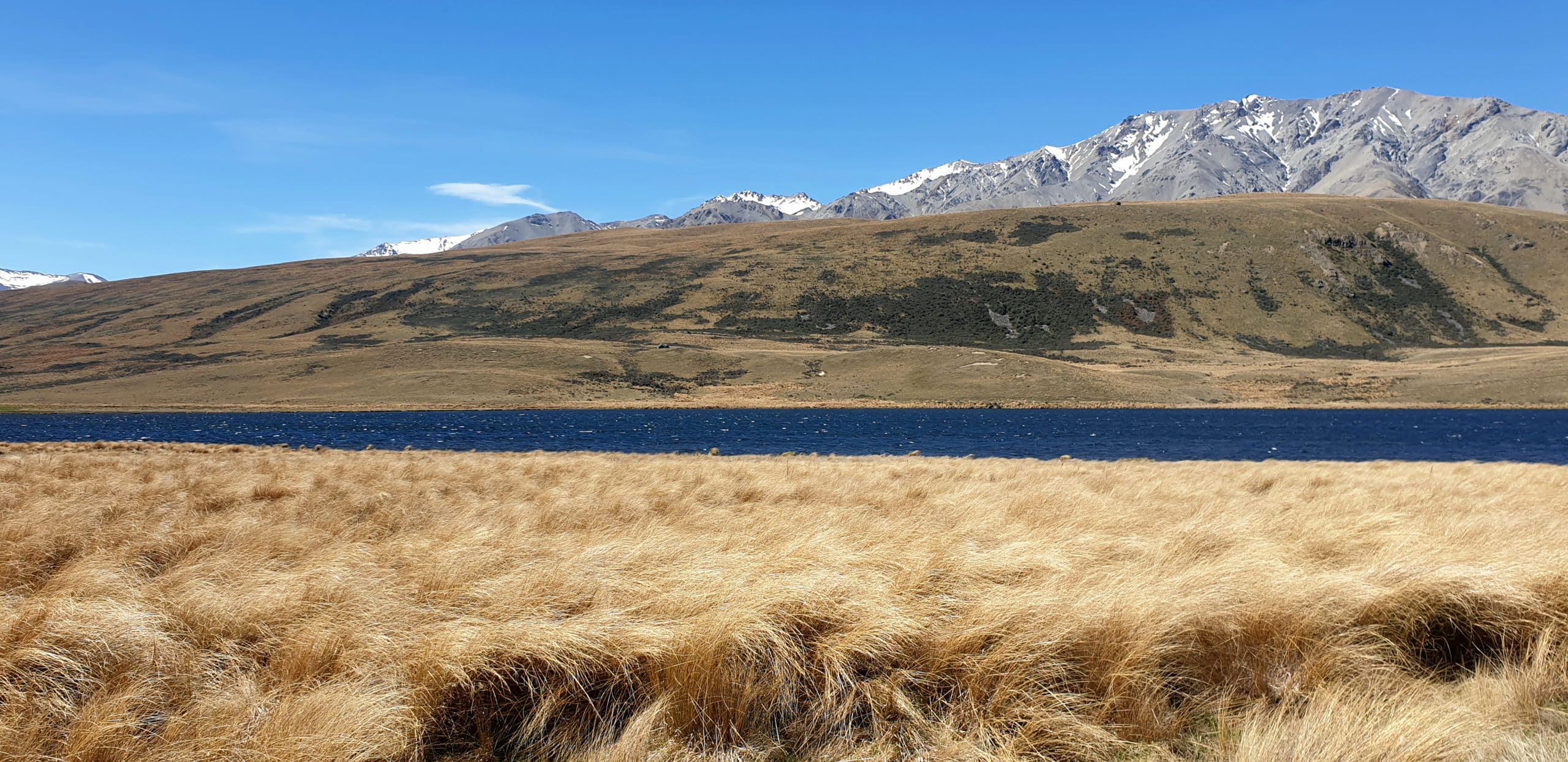
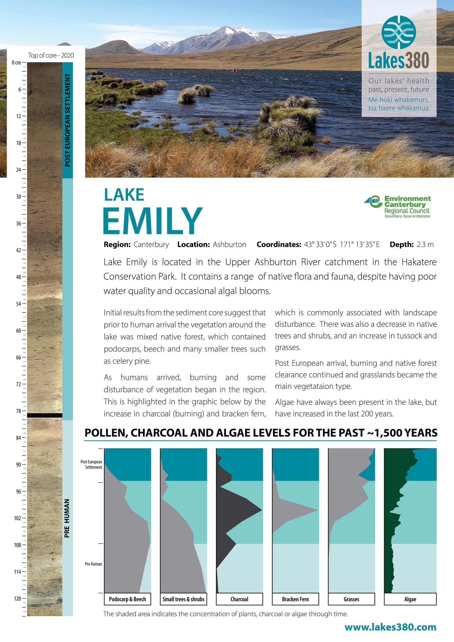
Lake Emily is a small lake tucked in behind the Clent Hills and Mt Somers Range, in the Upper Ashburton River (South Branch) catchment. The lake is popular for recreation activities such as hiking and fishing. The lake has a maximum depth of 2.3 m and covers an area of 19 hectares. A high amount of algal biomass accounts for the sometimes green colouration of the water in the system (source lawa.co.nz)


